Smoke plumes in the southeast - Wildfire Today
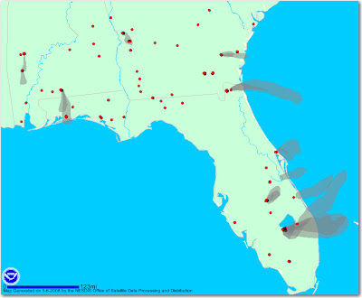
NOAA is now generating maps that not only show heat from vegetation fires detected by satellites, but now they have maps that show graphic depictions of smoke plumes from fires. On the map below, the red dots are heat sources, but not all are necessarily vegetation fires. The gray smoke plumes are visible from the … Continue reading "Smoke plumes in the southeast"
Bill