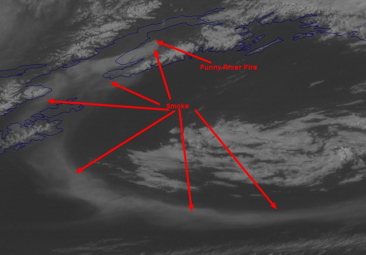
Discover Magazine has a very interesting animation from a weather satellite, showing the smoke from the Funny River Fire on the Kenai Peninsula in southern Alaska being swept up into a huge cyclonic system over the northern Pacific. The image above is a screen grab, to which we added the arrows and the smoke and fire labels, but check out the video animation.

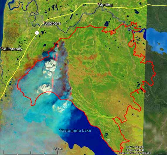
NASA has released photos of the Funny River Fire at Soldotna, Alaska taken May 20 at 1:23 local time by a Landsat satellite a day after the fire started on the 19th. We added a red line to the photos that represent the fire perimeter at 12:20 a.m. on May 29, 2014. In the false color photo above, the infrared sensor can see through some of the smoke and detects the heat, shown as orange, on the east and west fire edges.
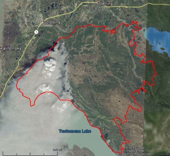
The photo below is true color, as would be seen by the human eye.


Our primary coverage of the Funny River fire is HERE.
