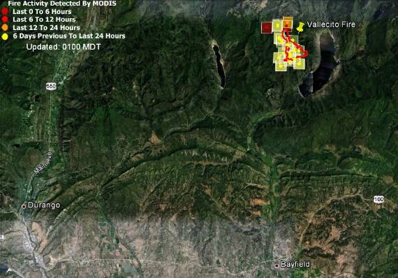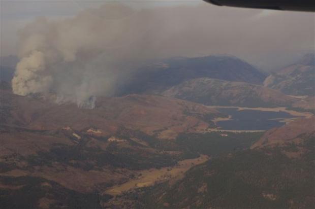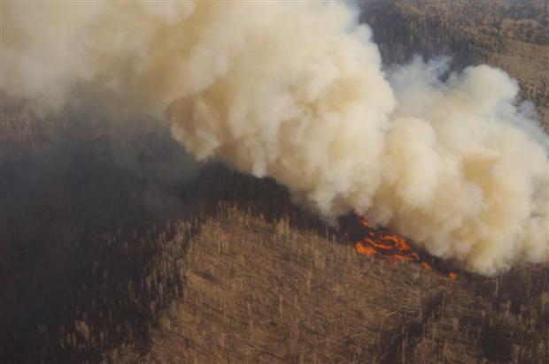
The Vallecito Fire has burned about 1,000 acres in the San Juan National Forest near Vallecito Reservoir 16 miles northeast of Durango, Colorado. The fire started October 12, most likely from lightning, and is burning within the perimeter of the 2002 Missionary Ridge fire. Due to the hazards of falling snags and steep terrain, firefighters have opted not to attempt direct suppression of the fire, according to information on Inciweb.

A contingency fireline is being prepared north of the fire if it becomes necessary to stop the fire before it encroaches on homes in the Hummingbird Lane and Ho Hum Drive areas.
Yesterday Colorado state officials issued a smoke advisory for the towns of Durango, Vallecito and Bayfield which is expected to be in effect until at least 4 p.m. Sunday.
The fire is staffed by eight personnel, including the Tushar Mountain Wildland Fire Module (a 7 person crew) and a Type 3 Incident Commander. Delaying and confinement tactics will be used to minimize spread until a significant wet weather event occurs. Persistent dry weather is predicted through Friday, November 9.


