Above: 3-D map of the Sunrise Fire showing the perimeter at 12:30 a.m. MDT Jul 29, 2017.
(Originally published at 10:36 a.m. MDT July 29, 2017)
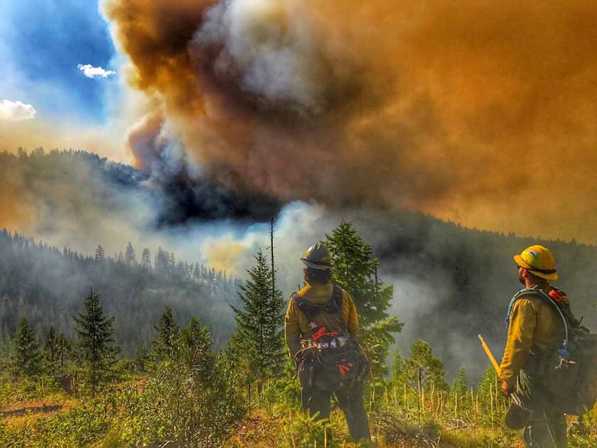
The Sunrise Fire continued to grow closer to the small community of Quartz, Montana on Friday, spreading east 1.2 miles on the southeast side closing in on Whisky Gulch Road to come within 1.0 to 1.3 miles of the Clark Fork River. It started July 16 in the Lolo National Forest 39 miles northwest of Missoula and 6 miles south of Riverbend.
The fire added another 1,200 acres on Friday expanding to about 5,500 acres as of the 12:30 a.m. mapping flight Saturday. One spot fire was found 0.4 miles ahead of the fire on the southeast side.

The Mineral County Sheriff added Quartz Creek to the list of evacuated areas which also includes Sunrise Creek and Quartz Flats.
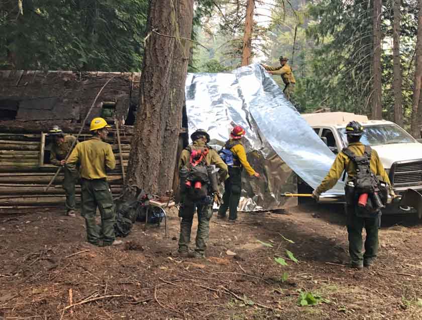
Resources assigned to the fire: 14 hand crews, 5 dozers, 18 engines, 4 helicopters, 14 water tenders, 4 Skidgens, and 1 Masticator for a total of 522 personnel.
The weather forecast for the fire area for Saturday predicts temperatures in the mid-90s, relative humidity in the high teens, with winds out of the south switching to the northwest at 2 to 5 mph.

All articles about the Sunrise Fire can be found HERE, with the most recent at the top of the page.

