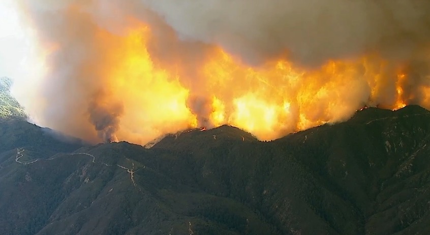
Above: the view from the Nevada Seismological Laboratory camera on Santiago Peak looking southeast at 6:52 p.m. PDT August 6, 2018.
(UPDATED at 6:44 a.m. PDT August 7, 2018)
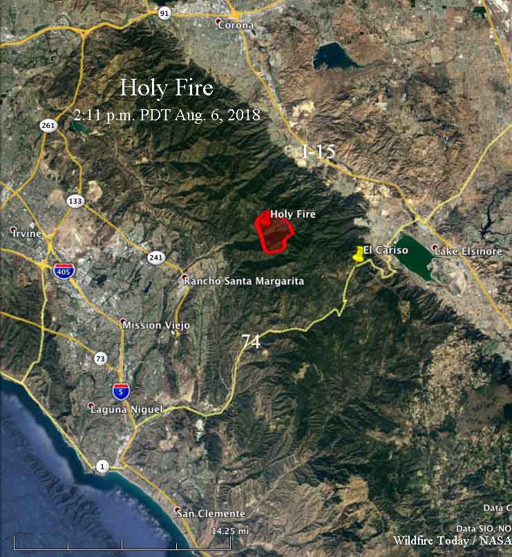
Late Monday night the U.S. Forest Service estimated that the Holy Fire in the Cleveland National Forest east of Rancho Santa Margarita, California had burned approximately 4,000 acres, but that figure could change with more accurate mapping.
The fire started in Trabuco Canyon east of Holy Jim Canyon and rapidly ran up the very steep slopes to the North Main Divide Road at the top of the ridge. The latest rough mapping by the incident management team indicates that very little of the fire has crossed the road which is primarily on the top of the ridge. But better mapping in daylight will provide better information. That road is also near the boundary between Orange and Riverside Counties, and so far most of the blaze is in Orange County.
(To see all articles about the Holy Fire on Wildfire Today, including the most recent, click HERE.)

(Originally published at 7:27 p.m. PDT August 6, 2018)
A brush fire in Trabuco Canyon in the Cleveland National Forest in Southern California has burned at least two cabins. The blaze started around 1:30 p.m. Monday near the intersection of Holy Jim Canyon Road and Trabuco Creek Road. In mid-afternoon fire officials estimated it had burned about 1,200 acres.

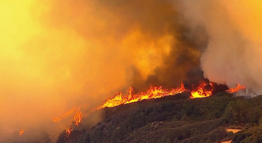
It is spreading up very steep slopes in the canyons on the west side of the Santa Ana Mountains, running up to the North Main Divide Road, an elevation change of about 2,600 feet. A Los Angeles TV station, ABC7, has had intermittent live video from a helicopter showing fairly intense fire behavior, with frequent fire whirls on the flaming front.
The fire is two miles east of the community of Trabuco Canyon, three miles southeast of Temescal Valley, and six miles northwest of Lake Elsinore.

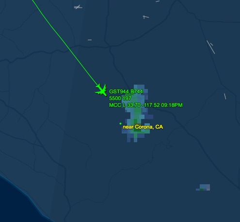
In watching the live video we saw air tankers working the fire that included S2T’s, the 747, a military C-130 MAFFS, and the Forest Service/Coast Guard HC-130H. The S2T’s were making very quick turnarounds, reloading at Hemet-Ryan 26 miles to the east.
Evacuations are taking place in Holy Jim Canyon, Trabuco Canyon special use cabins, and the Blue Jay and Falcon campgrounds.

On Monday afternoon the weather station at the USFS El Cariso Fire Station 4 miles southeast of the fire recorded 104 degrees, 10 percent relative humidity, and winds at 10 mph out of the southwest. A Red Flag Warning is in effect 20 to 30 miles farther north in the mountains north of Los Angeles and Santa Barbara.
In August of 2016 another fire in Trabuco Canyon was also named “Holy Jim”, but was on the south side of the drainage. One unique thing about that fire was that two plane loads of smokejumpers, 16 firefighters, flew to the fire from Redding and Porterville in northern California and jumped into the fire. Other firefighters walked in three miles on the Bell Ridge Trail, from a densely populated area in Orange County. That was the first time smokejumpers had jumped on a fire in the Cleveland National Forest.

Update: Holy Jim Canyon, Trabuco Canyon Recreation Residence Tract, Blue Jay and Falcon Campground areas under mandatory evacuation as #HolyFire grows to 1,000+ acres. https://t.co/DcNKJaZkIx pic.twitter.com/TIc2JH5zW6
— NBC Los Angeles (@NBCLA) August 6, 2018
x
Two firefighters have been hospitalized as the #HolyFire spreads northeast, away from O.C. and toward Riverside County, officials say https://t.co/cnyHRyYhYH pic.twitter.com/bdti2bYQSc
— KTLA (@KTLA) August 7, 2018


I love your 3-D maps. They reall help to understand the overall situation. Thank you.
You are very welcome!