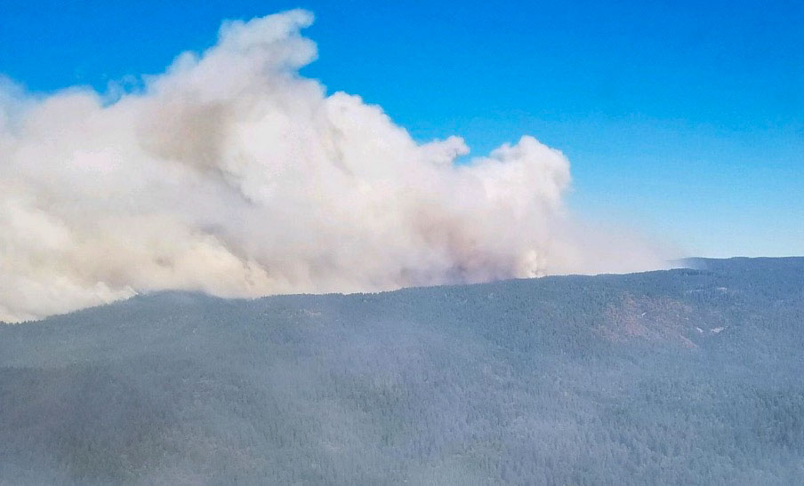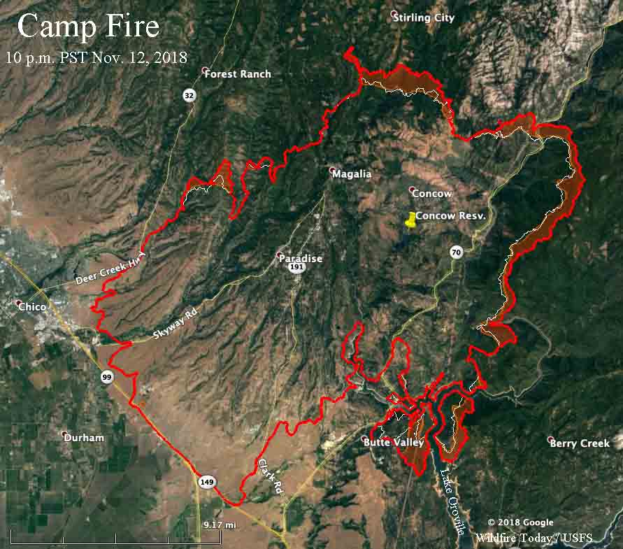
The Camp Fire continues to march farther to the east and north as the dry, windy weather hangs on in California. Monday the blaze grew by about half a mile along most of the north and east perimeter. It was most active east of Highway 70, south of Stirling City, and on both sides of Lake Oroville.
(To see all articles on Wildfire Today about the Camp Fire, including the most recent, click here.)
CAL FIRE said Tuesday morning the fire has burned 125,000 acres.
The number of civilian fatalities within the fire area has increased by 13 on Monday to bring the total to 42. Butte County Sheriff Kory Honea has not said the number of deaths is likely to increase, but he has requested additional cadaver dogs, portable morgue units, and about 150 additional search and rescue personnel to assist in the search for human remains. About 200 people remain unaccounted for.
Fire officials estimate that the structures destroyed include 6,522 single residences, 85 multi-residences, and 260 commercial buildings.
CAL FIRE has released a map that shows the status of structures affected by the Camp Fire. The new map is still incomplete and is a work in progress.

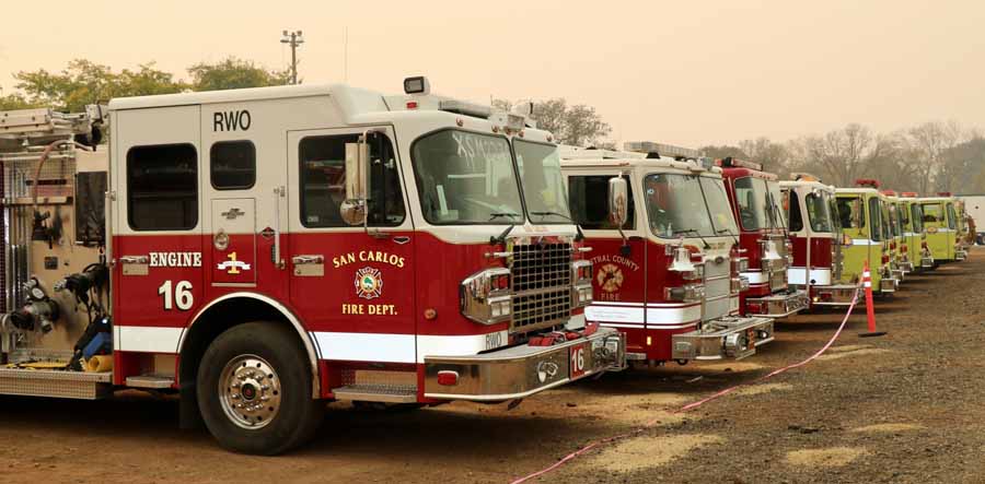
The resources assigned to the fire include 622 fire engines, 97 hand crews, 21 helicopters, 107 dozers, and 71 water tenders for a total of 5,139 personnel.

