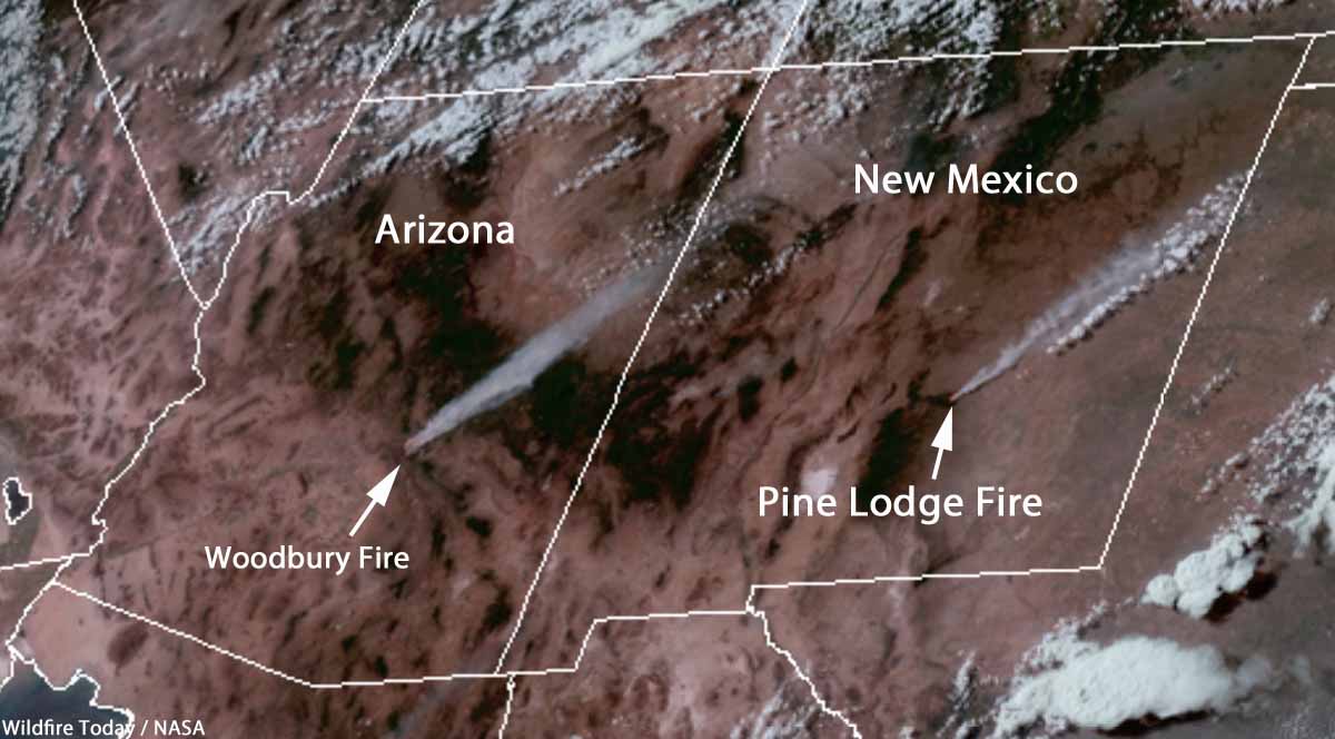
The Pine Lodge Fire is burning on the north end of the Smokey Bear Ranger District, Lincoln National Forest in Southwest New Mexico. It is 18 miles east of Capitan and 3 miles northwest of Arabela. A Type 3 Incident Management Team is currently engaged, and a Type 2 Team has been ordered. (See the map, above, of the Pine Lodge Fire)
Our very unofficial estimate of the size, based on heat detected by a satellite at 1:26 p.m. MDT on June 21, is that it has burned approximately 1,800 acres. It was spreading rapidly Friday afternoon pushed by a southwest wind.

The strategy is to suppress the fire. It is burning off Forest Service Road 130 near Boy Scout Mountain in extremely rough, rocky terrain with grass, pinyon-juniper, and mixed conifer vegetation. Firefighters will continue to assess and engage this fire, taking into consideration public and firefighter safety as the number one priority.
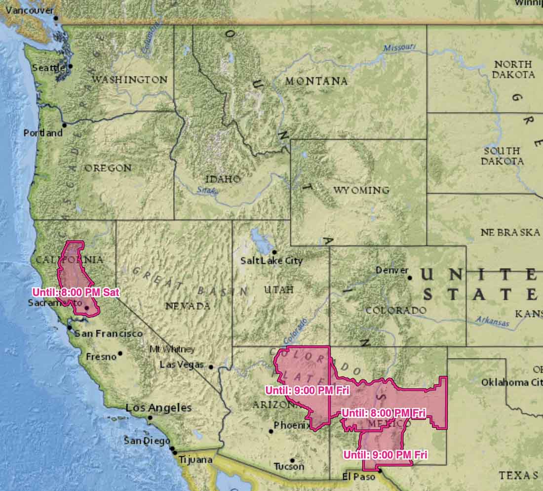
The area is under a Red Flag Warning until 8 p.m. Friday for extreme fire weather. A weather station at the Sierra Blanca Regional Airport, 18 miles to the southwest, recorded a high Friday afternoon of 83 degrees, 10 percent relative humidity, and winds out of the southwest at 15 to 25 mph with gusts up to 40. The forecast for Saturday calls for 87 degrees, RH of 8 percent, and southwest winds at 15 to 20 mph in the afternoon.


In the article reference was made that SR 188 was closed to the junction with the “Desert to the tall pines highway”. I had to Google that to see what the author was talking about. I’ve lived in the area for almost 50 years and had never heard that name used for what the locals call either “the Young Road” or SR 288.
I assume you’re referring to the Woodbury Fire not the Pine Lodge Fire. That is how it is labeled in Google Maps.