(UPDATED at 11:41 a.m. MDT July 29, 2019)
The North Hills Fire has forced the evacuation of 400 homes 10 miles north of downtown Helena, Montana. The fire was very active Sunday night, challenging firefighters who went house to house protecting private property.
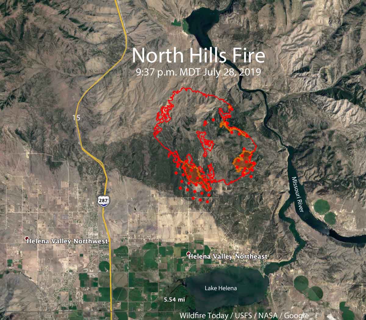
An overnight mapping flight at 9:37 p.m. Sunday determined that at that time the fire had burned 4,225 acres. (see map above)
Sunday afternoon the firefighting resources assigned to the fire included 6 hand crews, 22 fire engines, and 6 helicopters for a total of 238 personnel.
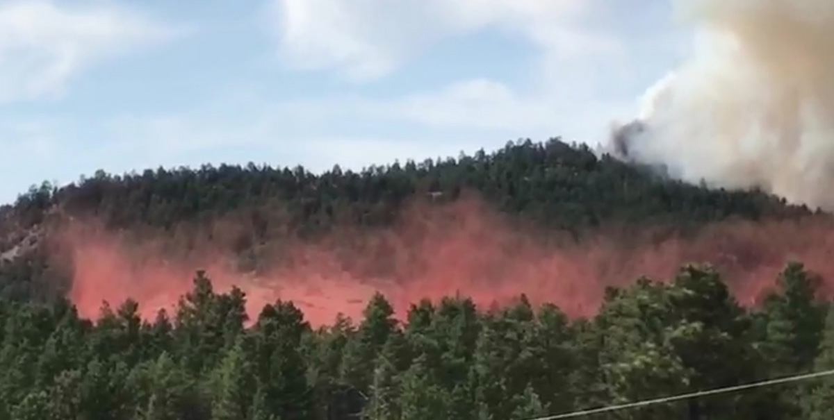
Walt Jester, Chief of the Lewis and Clark Volunteer Fire Department, took some excellent photos of the fire:

Mike Almas’ Northern Rockies Incident Management Team assumed command of the North Hills Fire at 6 a.m., Monday, July 29.
On Sunday, Governor Steve Bullock declared a state of emergency via executive order temporarily suspending “hours of service” regulations to meet increased demand for drivers’ hours spent transporting fuel and fire suppression resources.
We will update this article as more information becomes available.
