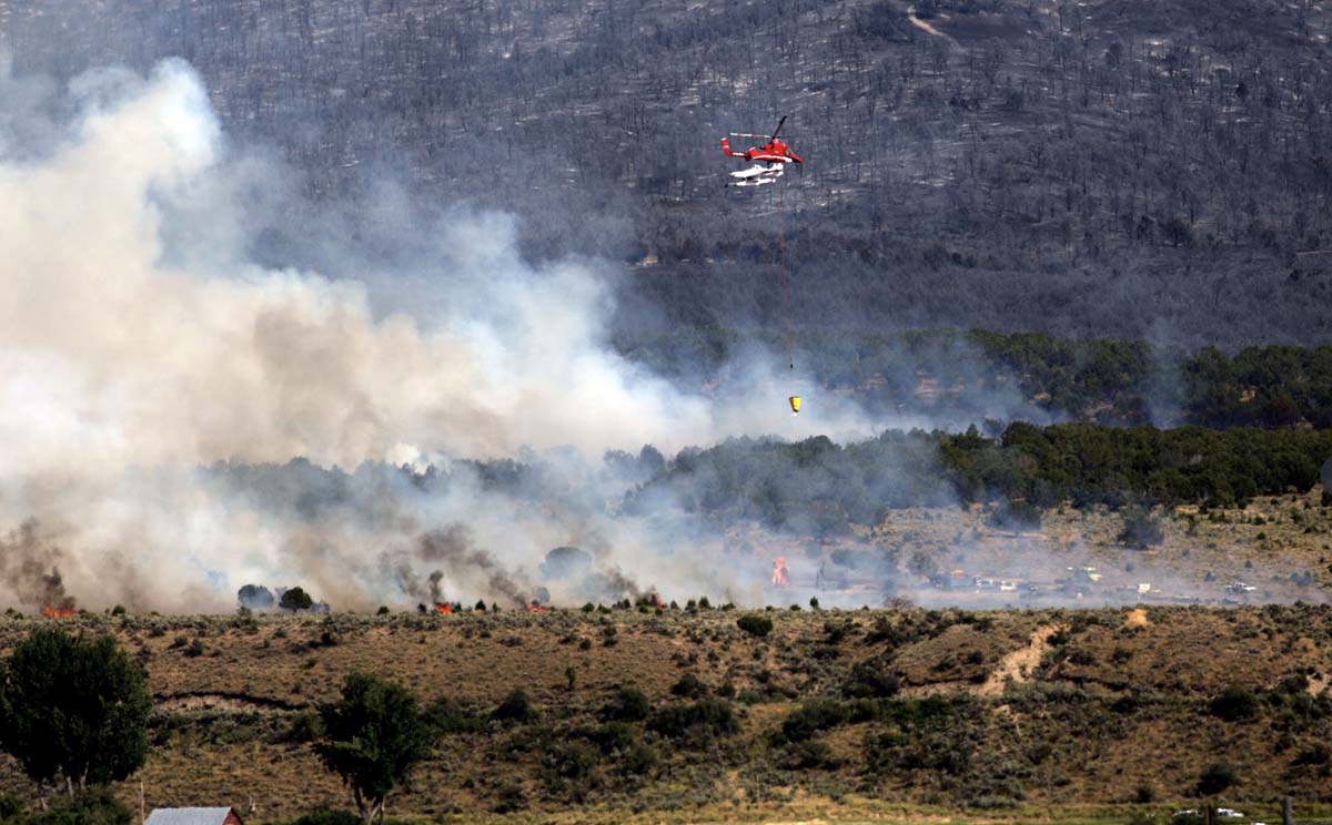
It will not receive much public notice because of the sparsely populated nature of the area, but three large wildfires are burning in Northeast Utah.
The Great Basin Coordination Center has a clever map with clickable icons that will show live camera views, but often the fires are too far away from the cameras to see much through the limited visibility of the smoky air.
All three of these fires started on August 4, 2019 and share the same strategy of full suppression.
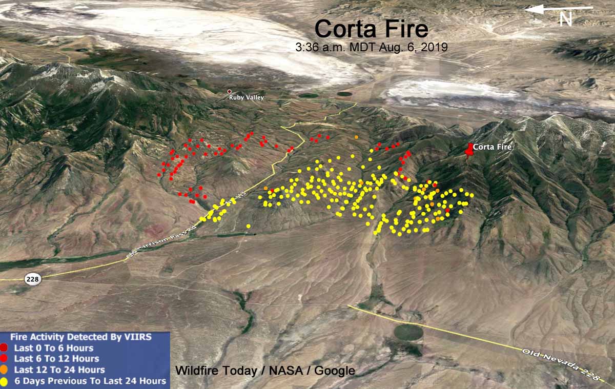
The lightning-caused Corta Fire has been very active. It straddles a major saddle between two very large ridges with grass and brush in the lower elevations at 6,000 feet, but with timber on the north and south sides at 8,000 to 10,000 feet.
The fire is 6 miles Southeast of Jiggs and 3 miles west of Ruby Valley. The last reported size was 15,000 acres.
At 11 a.m. MDT Tuesday it was reported that the fire had jumped the Harrison Pass Road and was making a run to the north. It was tracking directly toward the Green Mountain area which contains critical mule deer winter range, Columbian Spotted Frog habitat, priority Greater Sage-Grouse Habitat, and Lahontan Cutthroat Trout which is listed as a federally threatened species.
The Nevada Type 3 Team 1 will be assuming command of the fire Tuesday. Additional air and ground resources are being ordered and firefighters will continue direct and indirect line construction around the fire perimeter, strengthen and patrol completed lines, and initiate structure protection as needed if fire threatens private ranches. No structures are threatened at this time.

Shafter Fire
Last reported size was 4,300 acres burning in brush 25 air miles west of Wendover, Utah.
Goose (or Little Goose) Fire
Last reported size, 6,698 acres. It is in the northeast corner of Nevada very close to the Idaho border 42 miles southeast of Twin Falls, Idaho. It was very active Monday.

