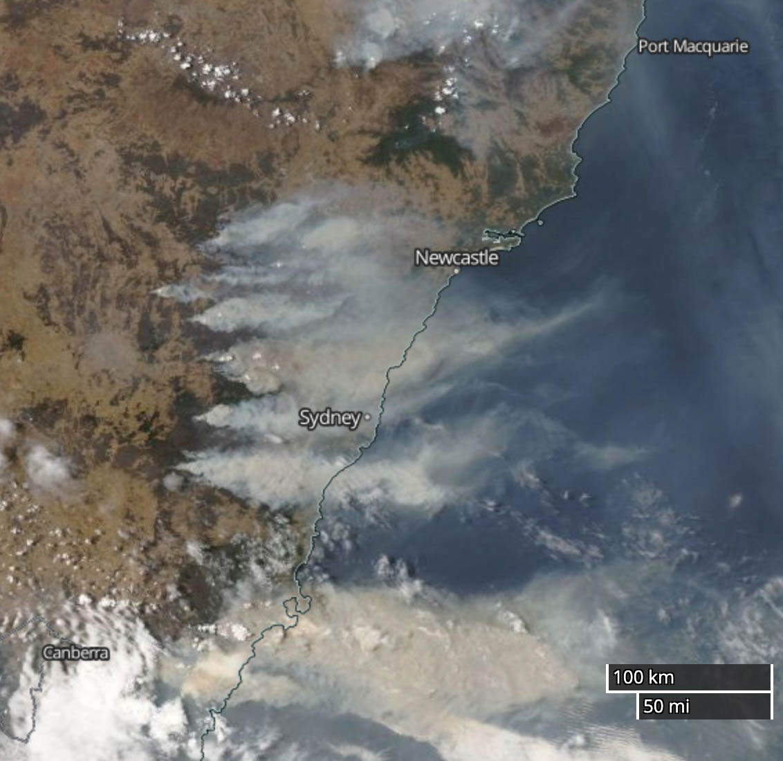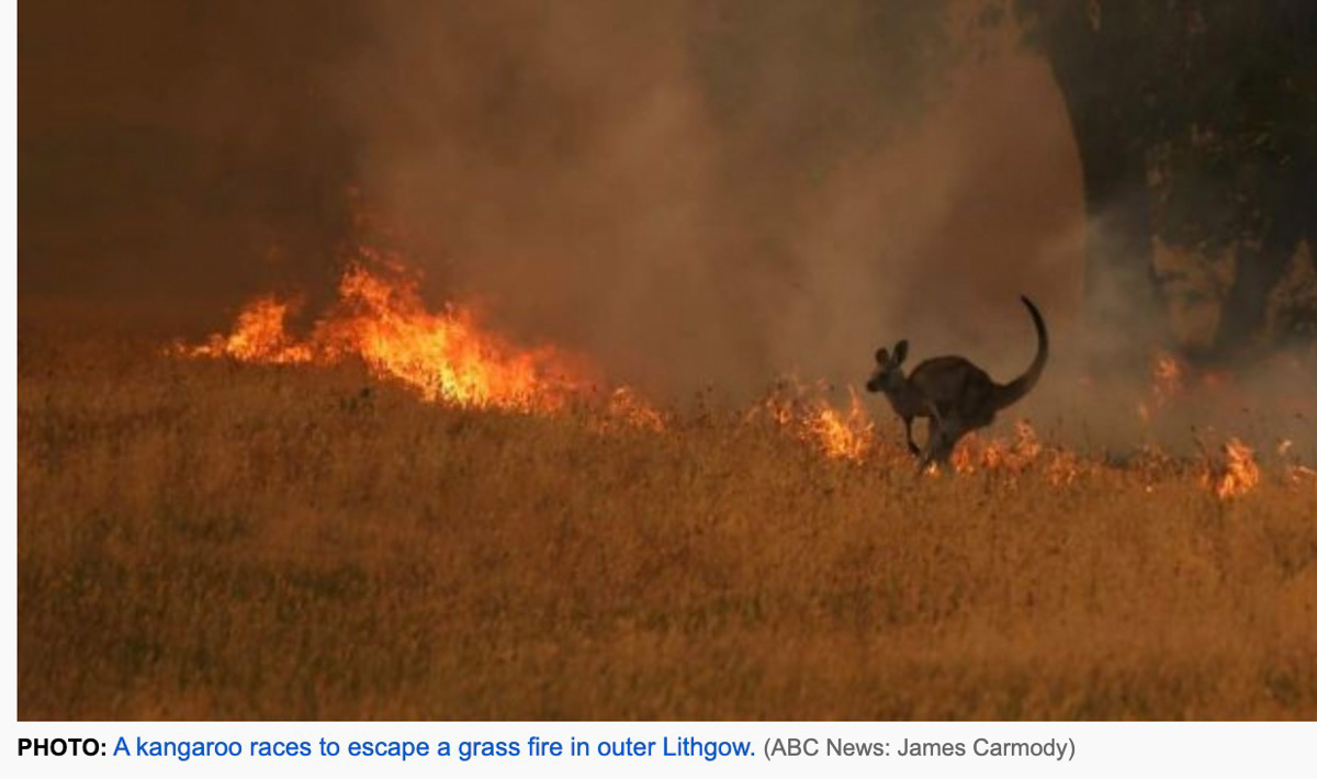
Firefighters in New South Wales, Australia had another challenging day Saturday as a weather front came through which changed the wind direction. The 17 mph northeast wind shifted at about 5 p.m. local time to come out of the south at 36 gusting to 45. The only factor that was in their favor was the relative humidity was not extremely low — 46 percent rising to 80 percent after the frontal passage.
Major changes in wind direction can force a wildfire to begin spreading in a different direction. If it is unexpected, firefighters at the heel of a fire can suddenly be facing a fire spreading toward them. On the Yarnell Hill Fire in 2013 a passing thunderstorm forced a wind direction change that entrapped and killed 19 members of the Granite Mountain Hotshots. The wind shift in New South Wales Saturday was predicted — as was the passage of the thunderstorm at Yarnell Hill.
Very early Sunday morning local time the New South Wales Rural Fire service provided updated information: “Both the Gospers Mountain fire in the Hawkesbury area and the Currowan fire in the Shoalhaven area have been downgraded to Watch and Act. The winds from the southerly change have now eased, reducing the erratic fire behaviour.”
The largest fire in NSW started two months ago. The huge Gospers Mountain Fire northwest of Sydney has burned 1,156,000 acres. It has merged with three other fires, Kerry Ridge, Little L Complex, and Three Mile, to cover a total of 1,742,000 acres. The Green Wattle Creek Fire southwest of Sydney has been mapped at 467,000 acres to bring the five-fire total to 2,209,000. If they continue spreading as they have for weeks, the Green Wattle Creek Fire could merge with the other four.
We tend to call fires that reach 100,000 acres “megafires”. We need a new term for million-acre fires.
This is not normal.

There are other large fires north and south of Sydney and also in Eastern Victoria.
And then there is Western Australia. Last weekend the country’s new-to-them 737 air tanker, N137CG, flew 2,000 miles west across the continent to assist firefighters dealing with a fire about 100 miles south of Perth.
There were more injuries to firefighters Saturday, including one who was hit by a car during very smoky conditions. Thankfully he was not seriously injured.
Very impressive fire behavior in New South Wales https://t.co/PyM3vpIKNe
— Wildfire Today ? (@wildfiretoday) December 21, 2019


may sound cheesy but 1000000 acre fires should be called ”superfire” or ”gigafire”
i’m on the hunt for some total numbers on the australian fireseason, that canadian ciffc and united states gacc are good at, not to forget b.c. and alberta on their sites.
could bill or anyone else tip off links to the freshest number on totals countrywise and statewise australia?
best regards
ørjan, norway
You stated that “this is not normal.” But what if in fact it is the new “norm?”