(Originally published at 8:42 a.m. PDT July 19, 2020)

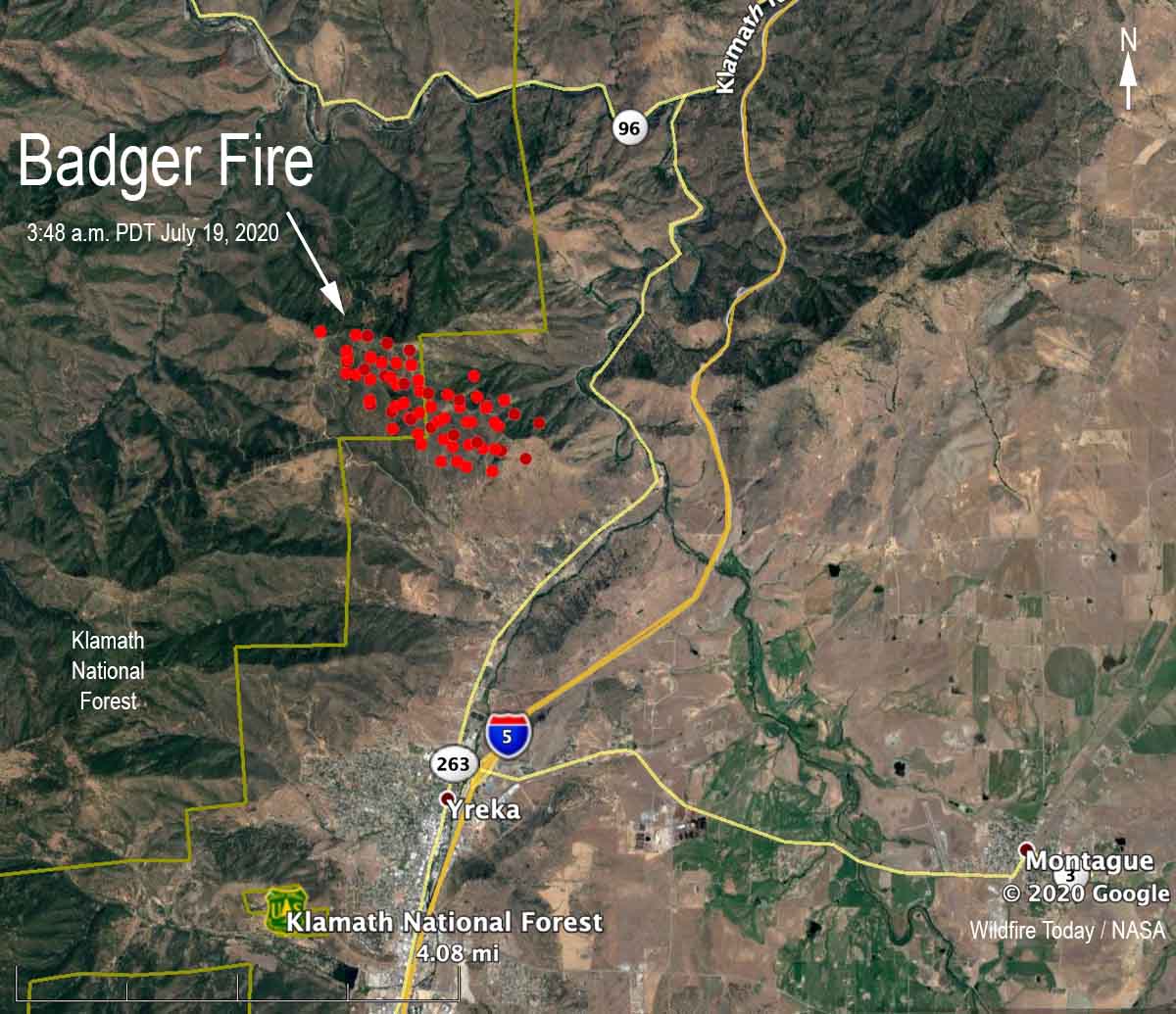
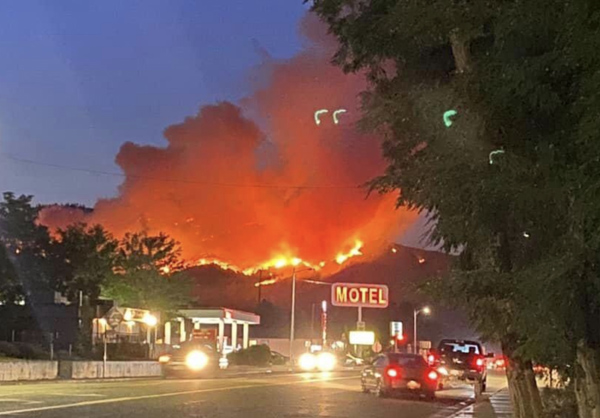
Two wildfires that merged about three miles north of Yreka, California are prompting evacuations in some areas west of Highway 263. The Humbug and Badger Fires, near Badger Mountain Road and Hawkinsville Humbug Road, are now identified as the Badger Fire.
The last size estimate released by CAL FIRE Saturday evening was 350 acres, but growth during the night could have added hundreds more. As you can see on the map above it is about 50/50 on the Klamath National Forest and state protected land.

The Badger Fire was reported Saturday July 19 according to the CAL FIRE Siskiyou Unit, but the agency’s fire information page lists it as starting July 18, which may have been the start date of the Humbug Fire which was the first of the two reported.


July 19th and upper Sabino Canyon is still on fire.Thanks Sonny Perdue!
We are so blessed to have brave and unselfish fire fighters. You are all in our prayers! If there is any way we can help please call! Joe Funderburg