August 12, 2020 | 7:29 p.m. PDT

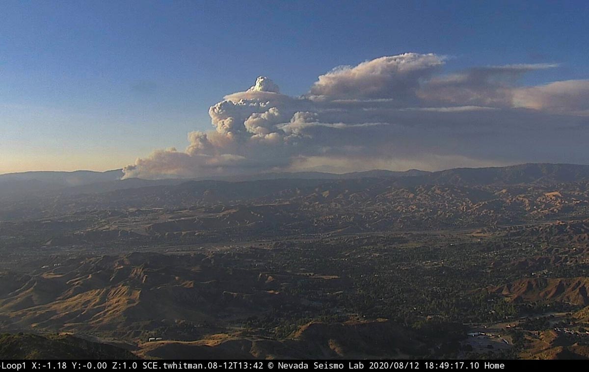
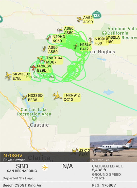
A very rapidly spreading fire broke out Wednesday afternoon in the Angeles National Forest about 19 miles west of Lancaster, California. When units first arrived the fire was about 100 acres burning on both sides of Lake Hughes Road, spreading to the east and northeast.
(To see all articles on Wildfire Today about the Lake Fire, including the most recent, click here.)
At 5:50 p.m. firefighters reported it was generating spot fires one mile ahead and had already grown to about 7,000 acres; at 7:05 p.m. the estimate increased to about 10,000.
At 6 p.m. the Incident Commander ordered additional strike teams of Type 1 fire engines for structure protection to bring the total up to 20. With five engines per strike team, that is 100 engines. Evacuations are in effect.
At 7:05 p.m. the fire had crossed Pine Canyon Road and was well established on the east side.


