Updated September 7, 2020 | 12:39 p.m. PDT
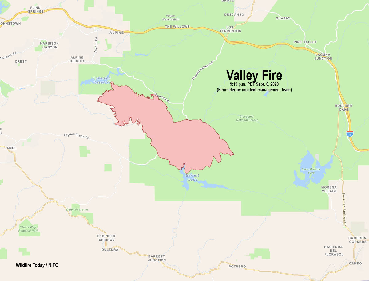
The Valley Fire was very active Sunday especially on the east side where it spread across Lyons Valley Road. At 9:19 p.m. Sunday the head of the fire was four miles east of the road, it had skirted across the north end of Barrett Lake, and was four miles northwest of the dam at Lake Morena. Much of the growth of the blaze was in the Lawson Valley and Carveacre areas.
On Sunday firefighters held the spread to 408 acres, bringing the total to 10,258. The military has been activated, adding an additional six helicopters to the fire suppression efforts.
The forecasted cooler and lighter winds Monday should provide a slight reduction of fire spread. However, there are a lot of dead fuels that will continue to be receptive to fire spread. Santa Ana winds are expected to develop Tuesday and continue through Wednesday with gusts over 40 mph.
Evacuations are in effect. San Diego County has more information.
Updated September 6, 2020 | 6:20 p.m. PDT
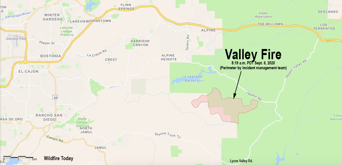
The incident management team reported at 3:48 p.m. that the Valley Fire 8 miles east of El Cajon, California had burned 5,350 acres and was spreading dangerously. Structures are being threatened in the Carveacre, Lawson Valley, Wood Valley, Lyons Valley, and Deer Horn Valley areas. There is an immediate threat to the Sunrise Power 500 KV power lines supplying a large portion of San Diego County.
There are reports that the fire is moving east or southeast, has crossed Lyons Valley Road, and is approaching Barrett Lake and the nearby Honor Camp. The most accurate fire-mapping satellite confirms this, detecting spot fires very close to the north end of Barrett Lake at 4:20 p.m. Sunday.
Firefighters are working against extreme fire behavior with wind driven runs and long range spotting. 10 Structures have been destroyed. California Incident Command Team 15 transitioned command at 7 a.m. Sunday.
Evacuations are in effect. San Diego County has more information.
Resources assigned include 2 hand crews, 49 fire engines, 4 dozers, 5 water tenders for a total of 355 personnel. In normal times a fire like this would have 15 to 25 hand crews. With only 2 hand crews, firefighters don’t stand much of a chance of stopping the fire unless the weather changes significantly.
Updated September 6, 2020 | 11:50 a.m. PDT
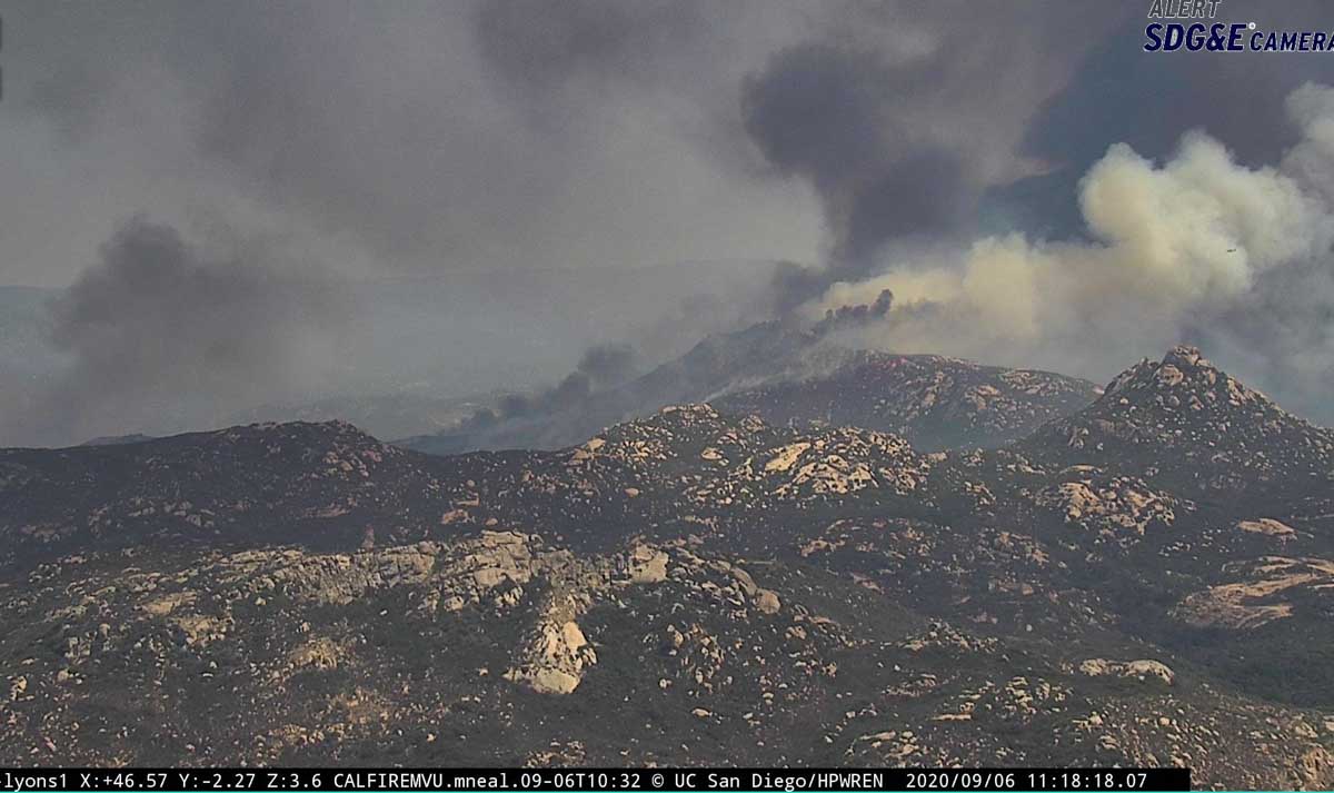
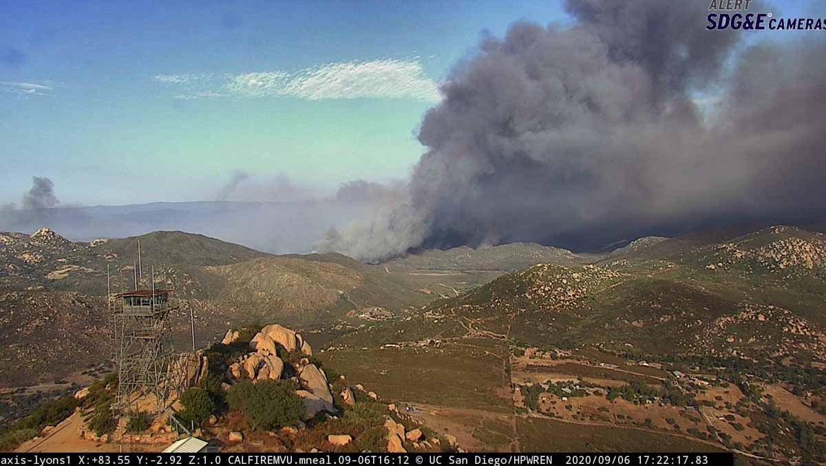
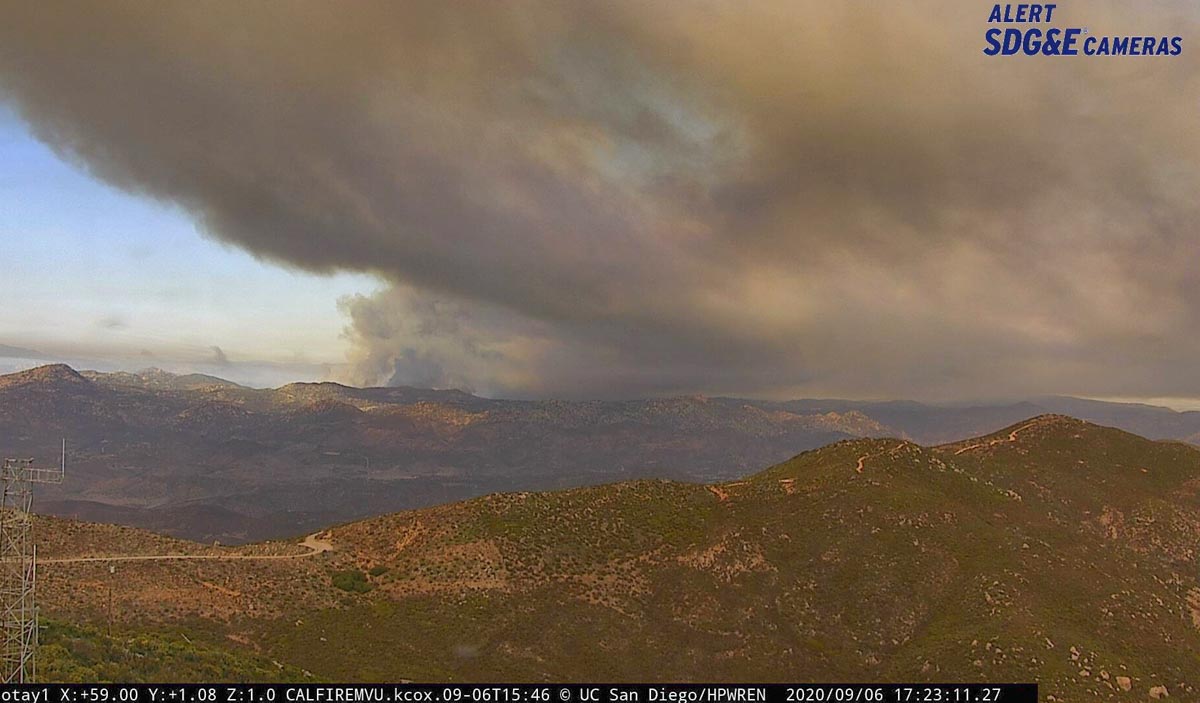
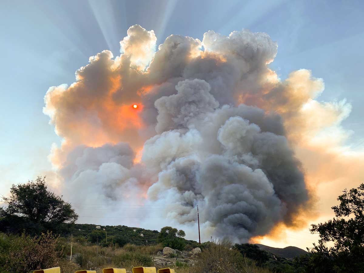
Activity on the Valley Fire 8 miles east of El Cajon, California has increased. A smoke column has developed topped by pyrocumulus, indicating extreme fire behavior (although it can’t be seen in these photos). The latest size estimate is 4,000 acres.
Several air tankers have been assisting firefighters, including T-944 (747), T-23 (P-3), T-137 (737), an MD-87, S-2Ts, lead planes, and air attack ships.
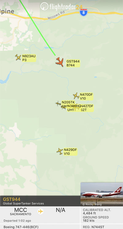
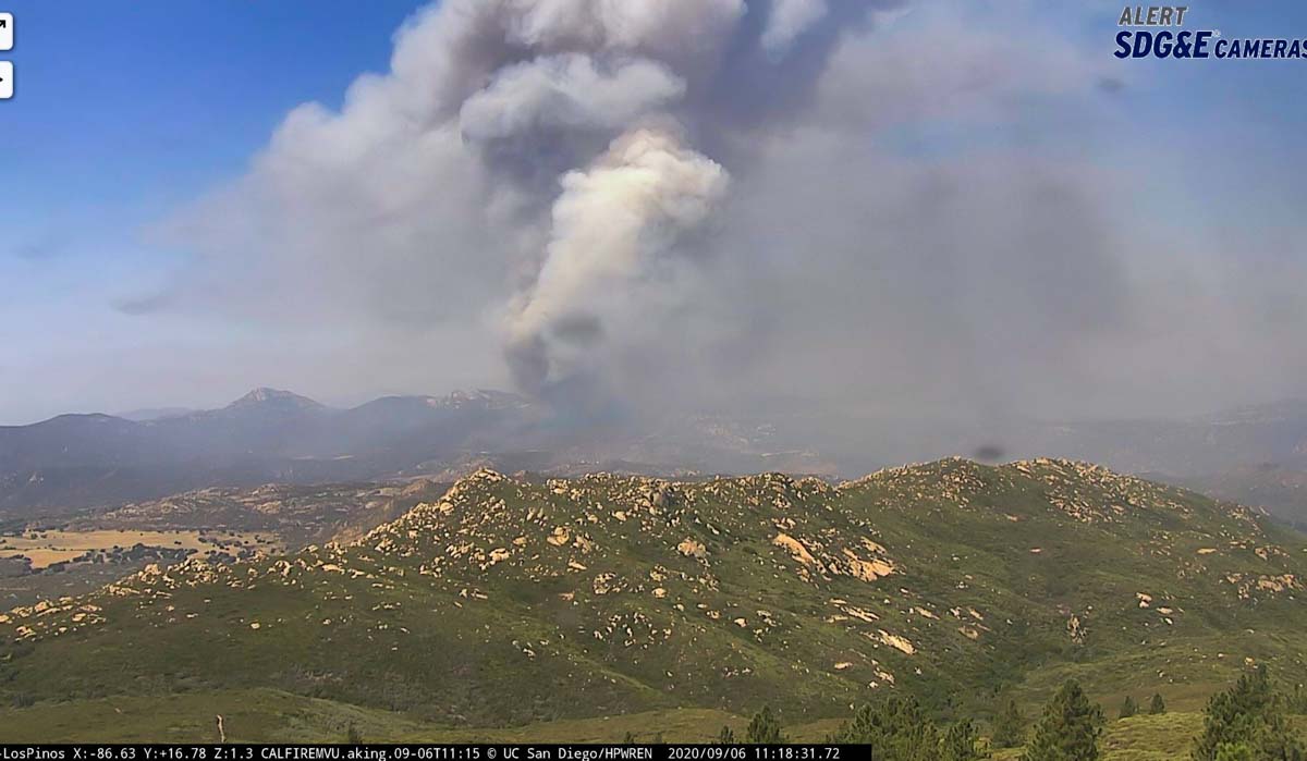
A CAL FIRE incident management team, number 15, will be assuming command of the fire.
September 6, 2020 | 8:10 a.m. MDT

When the Valley Fire was reported in San Diego County south of Alpine, California at 2:16 p.m. Saturday the temperature at the nearby U.S. Forest Service Japatul Fire Station was 113 degrees and the relative humidity was 8 percent. It spread rapidly to the west running south of Japatul Road toward Loveland Reservoir pushed by winds gusting to 20 mph, prompting evacuations. Late in the afternoon CAL FIRE said it was 1,500 acres; an overnight update from fire officials estimated it at 3,000 acres. Structures have burned, but the number has not been released.
Evacuations are in effect. San Diego County has more information.
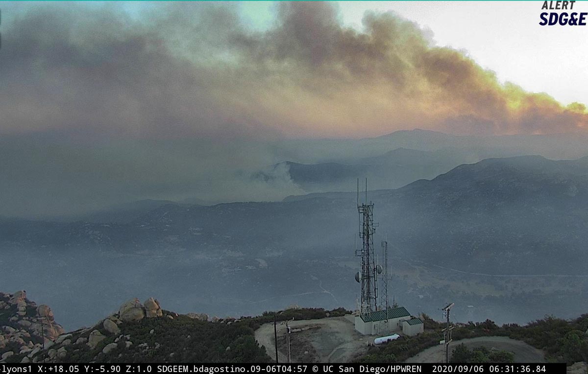
The weather forecast for the Valley Fire area is not good news for firefighters, with Sunday’s forecast calling for 108 degrees, 10 percent humidity, and ridgetop winds out of the northeast at 15 mph. On Monday it will cool off — to 99 degrees with 20 percent humidity. The mountain areas of southern California on Sunday are under two warnings: Excessive Heat and Red Flag.
The fire is under unified command, with Incident Commanders Chris Anderson (U.S. Forest Service) and Kurt Zingheim (CAL FIRE).
According to the satellite heat data, much of the Valley Fire is burning in an area that has not been visited by fire since the huge Laguna Fire of 1970. But the northwest side has spread into the Viejas Fire of 2001, as you can see in the map below.


Valley Fireline maps (may take a few seconds loading) #ValleyFire detailed maps — May load slow, about 30 seconds.
https://ftp.nifc.gov/public/incident_specific_data/calif_s/!2020_Incidents/CA-CNF-002833_Valley/GIS/PRODUCTS/20200906/iap_11x17_land_20200906_0456_Valley_CACNF002833_0906.pdf
nice make thanks for the info. no skyline truck trail on the map?
What?
FIRMS map https://firms.modaps.eosdis.nasa.gov/map/#d:2020-09-06;l:street;@-116.7,32.8,12z
Your Valley fire information is the best that I’ve found online.
Can you comment why there are only 2 hand crews?
Thank you.
With many fires burning competition for firefighting resources, including hand crews, means sometimes incident commanders are not able to receive all of the resources they request. COVID spreading through inmate crew camps and prisons this summer has cut the number of firefighting inmate crews available from 192 to 94. On July 9 California Governor Gavin Newsom said 12 inmate camps had to be quarantined due to the virus.
Compounding the firefighter shortage was the early release of thousands of state inmates to create more space in the facilities during the pandemic, and before that, the state’s initiative to reduce the incarceration of those jailed for lower-level offenses.
I was at Campo (CDF) Fire Station in 1970 and saw the Laguna Fire even before dispatch. We responded on a pretty regular basis to Japatul, but the closer stations usually had wildfires in hand quickly. As has already been said, last Big One was ‘Laguna’. Sad knowing we’ve lost homes.
Nice too see tanker #23 back in the area.
A part of your old stomping grounds Bill, and Chris as the Initial Attack IC, I believe that the area last burned in the 1970 Laguna Fire.
Wes, you are correct. I own 4 acres of mostly raw land on the southern slope of eastern Lawson Valley, Wisecarver Lane, that my parents purchased soon after the Laguna Fire in 1970 and this valley has not burned since then until now. I suspect my land has already burned, but I hope the neighbors across the road did not lose their homes. If this fire makes it to Skyline Truck Trail I can assume that my land has burned.
Right on all counts, Wes. I added a fire history map to the article.