October 2, 2020 | 7:57 a.m. MDT

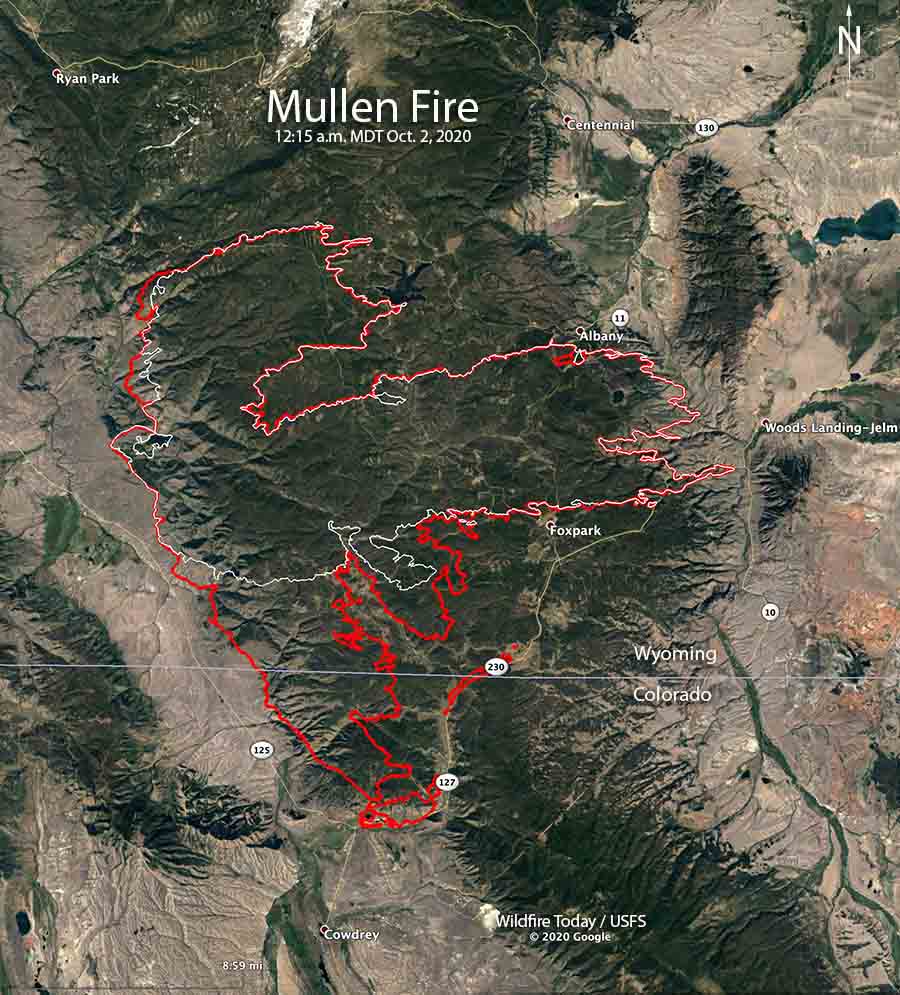
The Mullen Fire that started September 17 in Wyoming 12 miles north of the Colorado border has spread south into Colorado. At 12:15 a.m. Friday a mapping flight determined it had progressed to the intersection of Colorado Highways 127 and 125 about four miles north of Cowdrey. Firefighters are conducting strategic firing operations along portions of Highway 127 and Wyoming Highway 230 to protect structures.
In Colorado the Jackson County Sheriff’s Office has ordered evacuations for “the east side of Jackson County Road 8 along the eastern range north to the sand dunes following up to Highway 127, and along Jackson County Road 6E.” The most current information is on CodeRED and on the Sheriff’s Office Facebook page.
To see all articles on Wildfire Today about the Mullen Fire, including the most recent, click here.
On Thursday the incident management team reported that the Mullen Fire had burned 118,778 acres. After an overnight mapping flight the team may add another 8,000 to 9,000 acres to that figure. (Update at 12:56 p.m. October 2: the incident management team updated the size to 127,503 acres.)

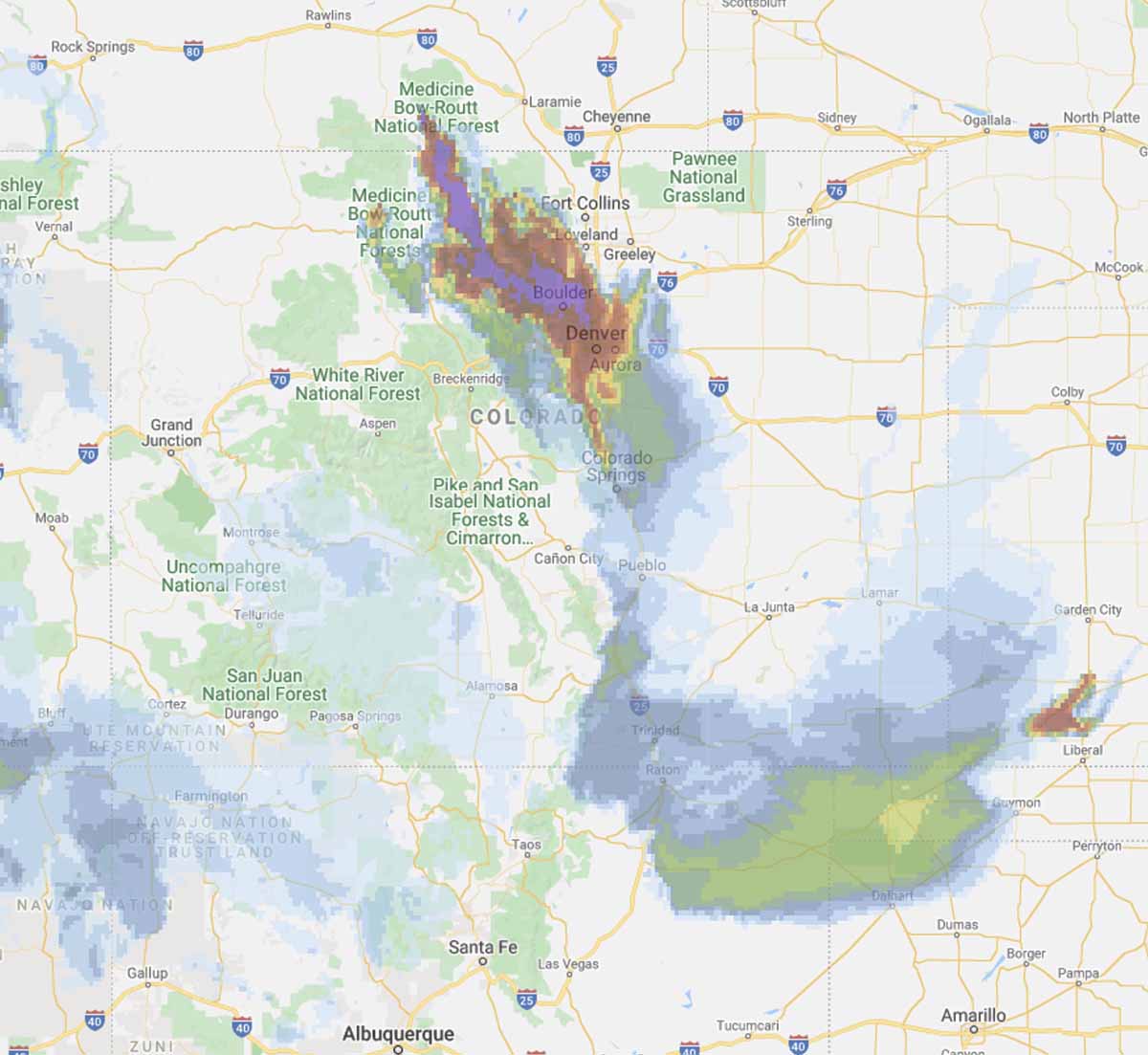
The Mullen Fire is producing large quantities of smoke that has been pushed to the south and southeast. On Friday it is predicted to heavily affect Rocky Mountain National Park, Boulder, and Denver.
The fire area is under a Red Flag Warning Friday. The forecast for the southern portion of the fire calls for a high temperature of 62, relative humidity of 16 percent, and winds from the west and northwest at 13 to 16 mph. Conditions will be similar on Saturday, with slightly stronger winds and slightly higher humidity.
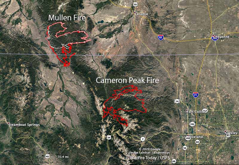
The 125,271-acre Cameron Peak Fire, 26 miles southwest of the Mullen Fire, has been growing much more slowly than the Mullen Fire in recent days.


Beautiful.
Shame on you. This is not a rivalry between the states, as Westerners we have a common goal.
A descendent of North Park pioneers