

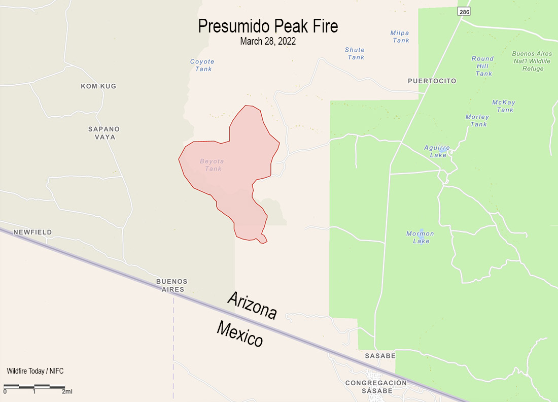
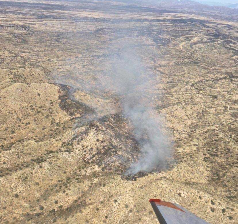
The Presumido Peak Fire in Southern Arizona had burned about 2,600 acres of grass, brush, oak, and juniper when it was mapped Monday. That number will be updated today after it made wind-driven runs Monday afternoon during Red Flag Warning conditions.
It is about 20 miles northwest of the border town Sasabe, two miles north of the US/Mexico border, on the edge of the Tohono O’odham Nation Reservation, and two miles west of the Buenos Aires National Wildlife Refuge.
On Monday the fire received light showers which decreased fire activity significantly. The forecast for Tuesday calls for 54 degrees and cloudy skies with a 70 percent chance of 0.10″ rain, with clouds clearing by 11 p.m. On Wednesday and Thursday firefighters should expect mostly clear skies, temperatures of 68 to 75, winds out of the west and then south at 15 mph, and relative humidity in the low 20s and high teens.
Monday night the management of the incident transitioned to a Type 3 organization with approximately 70 personnel assigned. Aircraft remain assigned and on standby, if needed. The human-caused blaze was discovered Saturday afternoon near Presumido Peak
#Tanker 910 had its first day on contract yesterday assigned to #Roswell, #NewMexico. It was quickly ordered to help the #firefighters working on the Presumido Peak Fire in #Arizona.
?: Jeff Serpa @serpa_photo #10_tanker #dc10 #ReadyToServe #aviation #aerielfirefighting pic.twitter.com/4c61ezmZMB
— 10_Tanker Air Carrier (@Ten_Tanker) March 28, 2022

Official Weather Report describes 19 & 41 mile per hour winds at about 1 PM, calming down in the evening.
https://www.accuweather.com/en/us/newfield/85639/weather-forecast/2133186