10:06 a.m. PDT July 15, 2022

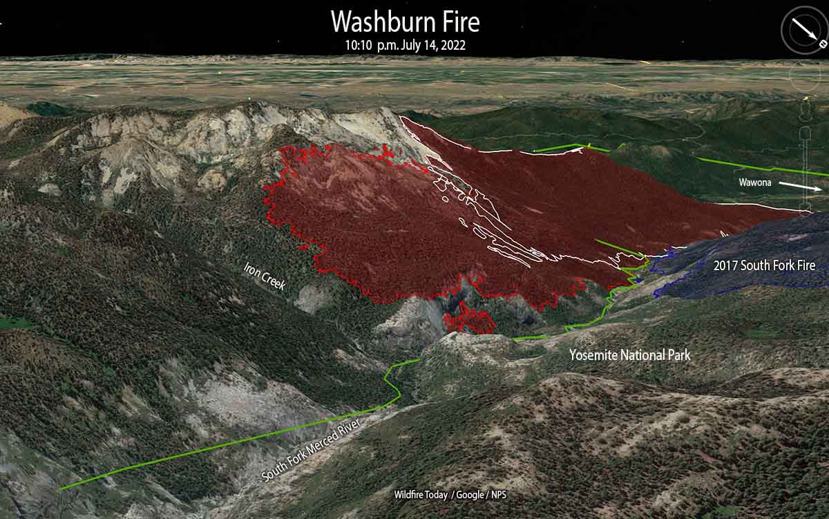
The challenge remaining on the 4,759-acre Washburn Fire in Yosemite National Park is to corral the east side where it has spread into the Sierra National Forest, a very steep area with large rock outcroppings.
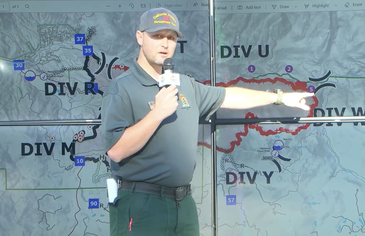
They have established three helispots on the north side of the South Fork of the Merced River and one on the south side that could be used for inserting firefighters. Their plan is to insert a small group of hotshots on the east side of the fire south of the river at Helispot 5 on the map below, being pointed to by Planning Operations Section Chief Matt Ahern. Their task will be to construct fire line on that corner, west of Iron Creek, working downhill and uphill to anchor and stabilize the fire at that point. This would then enable hotshot crews to “come off the top”, said Mr. Ahern.

Contingency fire lines are being constructed some distance from the fire on the south and east sides in case extreme weather drives the fire in those directions.
The Buck Cabin east of the fire built in 1931, was recently rehabilitated at great expense. The wood shake shingle roof was replaced with — another wood shake shingle roof. Since it is very, very vulnerable to fire, and in a roadless area, firefighters will be flown by helicopter to the area, rappel to the ground, and wrap it in foil-based structure wrap.
Most of the fire edge near the Mariposa Grove of giant sequoias has been secured with fire line, Mr. Ahern said.

“Overall the incident is in a very good place,” said Mr. Ahern. “We still have a tremendous amount of work and a heavy commitment of hotshot crews and aerial resources to pinch off Iron Creek.”
The infrared video below shot at 10:39 p.m. July 14 shows the east side of the fire.
OES Intel 24, July 14 with video #2 #WashburnFire Yosemite National Park. Fire is mapped at 4,734 acres at 22:38 hours. pic.twitter.com/bMIeyW9E5B
— FIRIS (@FIRIS) July 15, 2022
