


The map above shows the fire perimeters (the red line) that were detected by a fixed-wing infrared mapping flight at 10:22 p.m. MT, July 2, 2012. The red squares represent heat detected by a satellite at 12:50 p.m. MT, July 3, 2012. The White Draw fire is on the left, and the Parker Peak fire is on the right. The fires are five to eight miles northeast of Edgemont, SD.
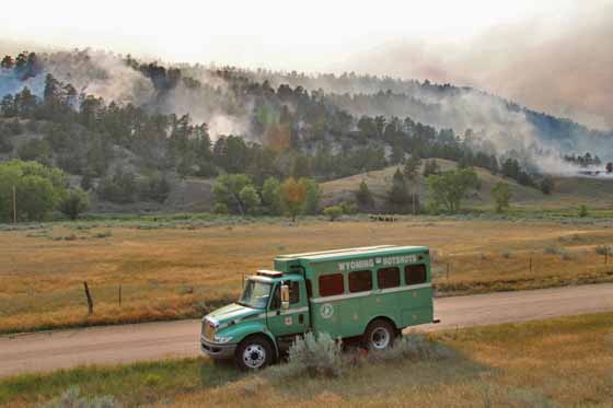
Brian Scott, spokesperson for the fire, told us at 5:25 p.m. on Tuesday that today fire crews have been busy conducting planned burnouts to help tie in some fire lines on the White Draw fire. It has also expanded on the north, he said, and is putting up a large amount of smoke.
Monday night the Incident Management Team called the fire 50% contained and said it had burned 4,950 acres.
After a much dryer and warmer than normal spring, firefighters are dealing with flashy fuels that ignite rapidly. Hazardous steep terrain and rattlesnakes are added additional “watch out” conditions for them to deal with.







