


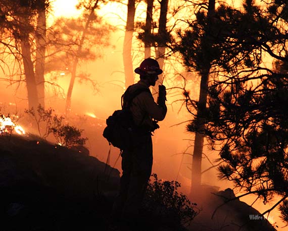
We have written several times about how the inability of fire supervisors to always be situationally aware of the location of firefighters has contributed to at least 24 deaths in recent years — 19 on the Yarnell Hill Fire and 5 on the Esperanza fire. Last month we told you about a system the Florida Forest Service is installing in their radio systems that tracks the location of firefighters. The Orlando Sentinel has an article about this system which provides a few more details. Below is an excerpt:
…To cut through the fog and friction, the Florida Forest Service has been rolling out its Asset Tracker System, equipping all of the nearly 400 bulldozers and fire engines statewide with GPS receivers and radio transmitters. System software will be installed in the laptops of nearly 60 supervisors.
Ralph Crawford, assistant chief of forest protection, said the largely home-built system will cost nearly $2 million but won’t have major, ongoing costs because it doesn’t rely on cellphone or Internet service.
Among the first crews equipped with tracking units were those responding to the Blue Ribbon Fire. But the system was still new, and only one of the ill-fated bulldozers had a location transmitter.
Since then, the system has been refined, and its capabilities are becoming more apparent, said John Kern, a deputy chief of field operations.
Every 30 seconds, the units blurt out an electronic warble, confirming that a packet of data containing unit identification, location, speed and direction had been transmitted by a 40-watt radio able to reach supervisor laptops within 2 miles.
The system doesn’t provide a complete picture of a wildfire; the blaze, for example, isn’t outlined on maps depicted on laptop screens.
But Kern said supervisors are learning to correlate the GPS tracking data with their knowledge of tactics used when fighting fires with bulldozers. Supervisors also will know where to direct a helicopter to drop water should trouble occur.
“If one of our guys calls in, ‘I’m stuck and about to be burned over,’ we’ll know where to go,” Kerns said.
Thanks and a hat tip go out to Kraig







