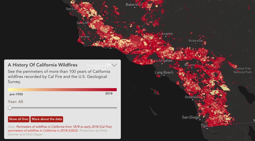
We often hear, “It’s not IF an area will burn, but WHEN”.
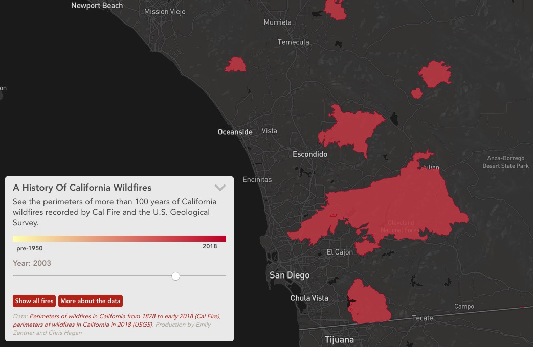
Capital Public Radio has developed an interactive map showing the footprints of wildfires that have occurred in California since 1878. You can see all of the fires at once, or individual years, and the map is zoomable. (The map may not display well in all browsers. It seems to work best using Firefox.)
I may or may not have spent too much time looking at these maps.