


Updated at 4:18 p.m. MDT May 16, 2022
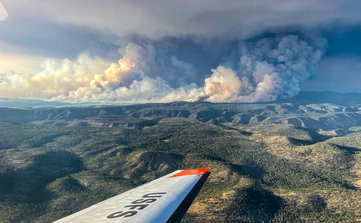 Black Fire in New Mexico, as seen from the USFS Lead Plane. Possibly May 16, 2022.
The Black Fire 31 miles north-northeast of Silver City, New Mexico is very active Monday afternoon, as seen in these photos.
 Smoke plume from Black Fire at 3:51 p.m. MDT May 16, 2022. NOAA satellite image.
10:22 a.m. MDT May 16, 2022
 Black Fire. Photo from a firefighting aircraft, May 15, 2022.
The Black Fire 31 miles north-northeast of Silver City, New Mexico made an impressive run to the east Sunday. Fire officials said that morning it was 1,174 acres; when it was mapped by an aircraft that night at 9:04 it had grown to 18,762 acres and was 11 miles long. Satellite data at 3:26 Monday morning indicated that it had continued to spread vigorously to the east through the night.
It is burning in timber and tall grass in the Gila National Forest 34 miles west of Interstate 25 and Truth or Consequences.
 Black Fire map at 9:04 p.m. May 15, 2022. The fire continued moving east after it was mapped.
The rapid growth of the fire Sunday was due to dry fuels, relative humidity that dropped to 2 percent, and 10 mph winds gusting to 22 out of the west-southwest. The data was recorded at the Gila Center weather station.
The weather forecast for Monday near the fire at 6,800 feet calls for 18 mph winds gusting out of the southwest at 28 mph, 86 degrees, and 4 percent relative humidity — conditions that could lead to additional spread to the northeast.
 Black Fire map at 9:04 p.m. May 15, 2022. The fire continued moving east-northeast after it was mapped.





