


7:05 a.m. PDT July 26, 2022
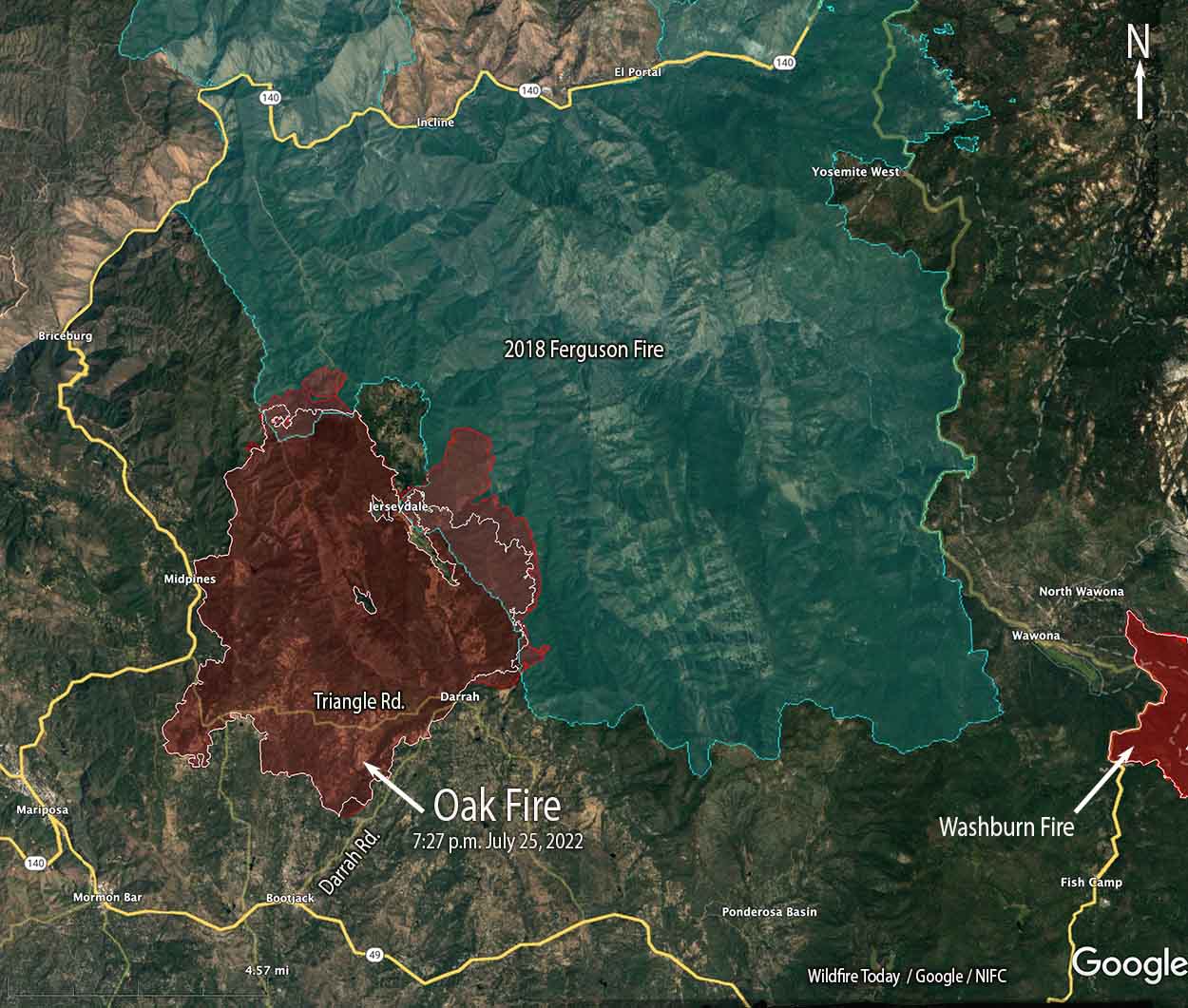 Oak Fire map. The red line was the perimeter at 7:27 p.m. July 25, 2022. The white line was the perimeter about 23 hours before.
Fire officials called Monday a successful day on the Oak Fire northwest of Mariposa, California, saying there was minimal growth. The 1,200 acres added paled in comparison to the rapid spread seen on Friday and Saturday. It was mapped Monday night at 18,017 acres, with most of the increase being on the east side where it is chewing through the four-year old vegetation in the footprint of the 2018 Ferguson Fire. East of Jerseydale it has advanced nearly two miles into the fire scar.
To see all articles on Wildfire Today about the Oak Fire, including the most recent, click HERE.
Helicopters dropped 300,000 gallons of water Monday, including thousands of gallons dropped by one of CAL FIRE’s new night-flying helicopters, H-903, normally based at McClellan near Sacramento. According to tracking data recorded by FlightAware it conducted what appeared to be two fuel cycles working out of the Columbia airport 42 miles northwest of the Oak Fire. Until CAL FIRE recently purchased their 12 new Sikorsky S-70i Firehawk helicopters they were not in the night-flying business. This was one of the first fires CAL FIRE has flown at night.
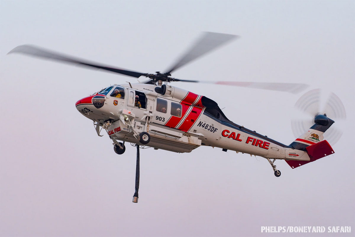 CAL FIRE H-903, Sikorsky S-70i FireHawk, N483DF, Photo by Dylan Phelps, Sept. 2020.
The damage assessment team has been working for the last two days to identify structures affected by the fire. Monday afternoon their findings to date were released — 21 residences and 34 outbuildings have been destroyed.
Resources on the incident Monday night included 24 helicopters, 302 fire engines, 82 dozers, 68 water tenders, and 61 hand crews for a total of 2,991 personnel.





