


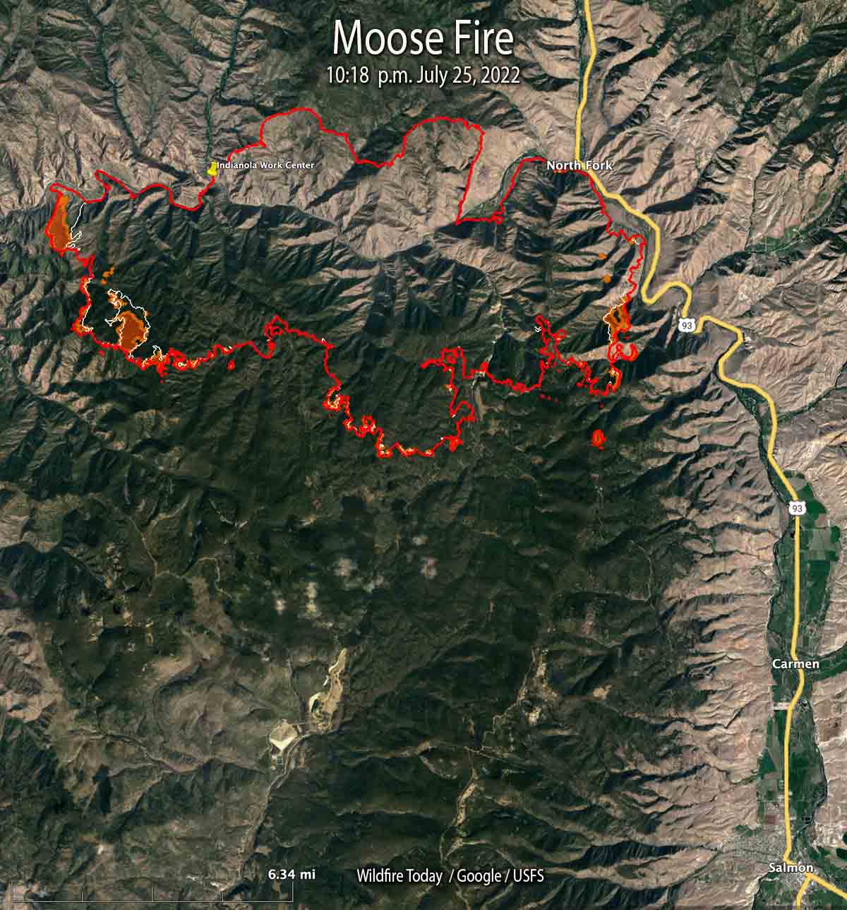
 Moose Fire map. The red line was the perimeter at 10:18 p.m. MDT July 25, 2022. The white line was the perimeter about 48 hours before. The brown areas had extreme heat when the fire was mapped.
Most of the growth on the Salmon Fire 10 miles northwest of Salmon, Idaho has been south of the Salmon River in recent days. It was mapped Monday night at 37,264 acres, a 24-hour growth of more than 1,500 acres.
On the east side, fire activity was high in Bobcat Gulch and the Napoleon Hill area in the late afternoon Monday and through the night. Spot fires occurred one mile south of Napoleon Hill as the fire was pushed by winds out of the north. The south side of the fire generally is holding in place with no new growth in the Moose Creek area. The fire is still spreading on the west side south of the river.
On the south side where the strategy is to “confine”, not “contain”, heavy equipment task forces are constructing and reinforcing indirect fire line six to nine miles south of the fire from Morning Glory west to Leesburg, and further west into Panther Creek, then to the Salmon River.
One of these indirect firelines being constructed is five miles south of the southeast corner of the fire, south of Moose Creek Road.
The photos below were taken July 23 by Mike McMillan for the US Forest Service.
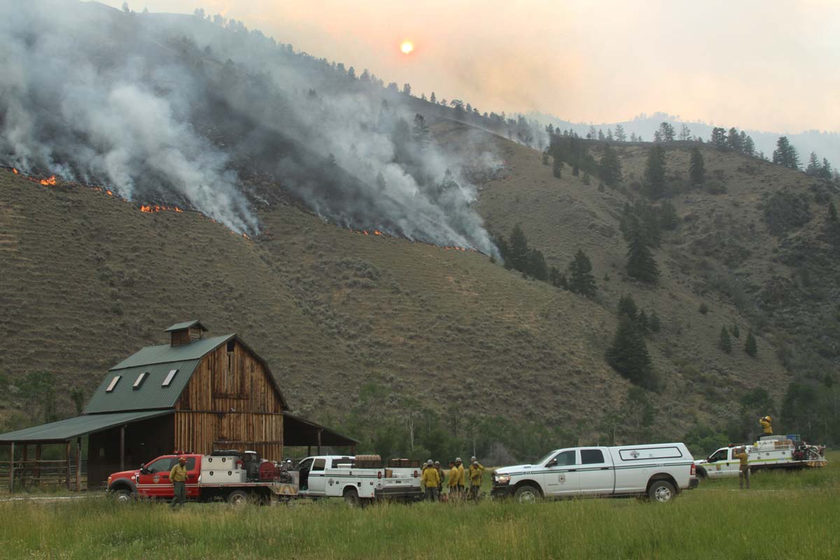 Firefighters on the Moose Fire prepare to defend structures along Hwy 93 corridor, July 23, 2022. Photo by Mike McMillan-USFS
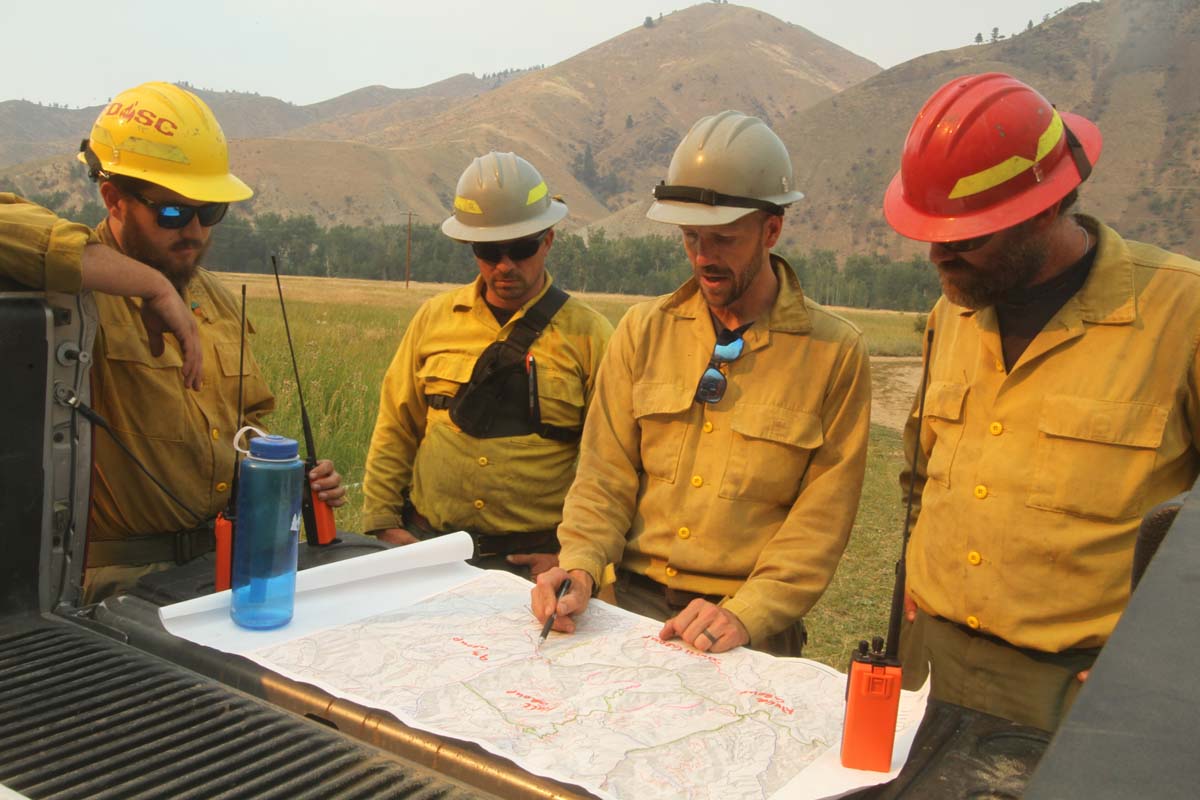 Firefighters on the Moose Fire, July 23, 2022. Photo by Mike McMillan-USFS
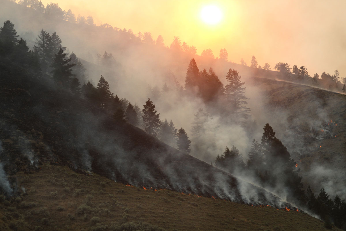 Moose Fire backs down a slope, July 23, 2022. Photo by Mike McMillan-USFS





