


(Originally published at 10:09 a.m. MDT June 20, 2020)
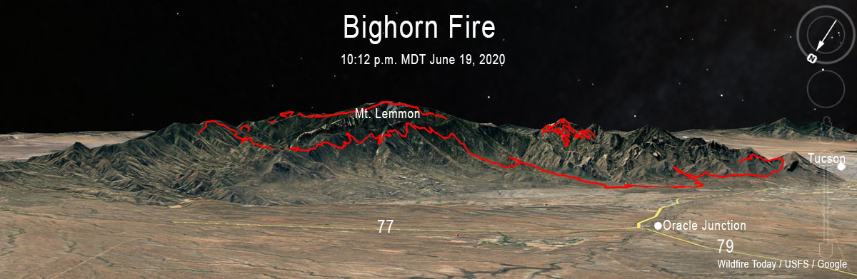
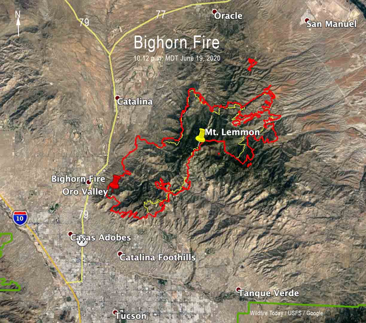
The Bighorn Fire north of Tucson, Arizona grew by 5,740 acres Friday to bring the total up to 42,798 acres.
Firefighters have been conducting back burns out ahead of the fire which they hope will serve as barriers to fire spread south of the community of Oracle along Old Mount Lemmon Highway near Peppersauce. They have also been constructing firelines on the west side of the Catalina Highway.
(To see all articles on Wildfire Today about the Bighorn Fire including the most recent, click here.)
For information about evacuations in Pima County contact visit pima.gov/bighorn. In Pinal County check the Sheriff’s Office Facebook page.
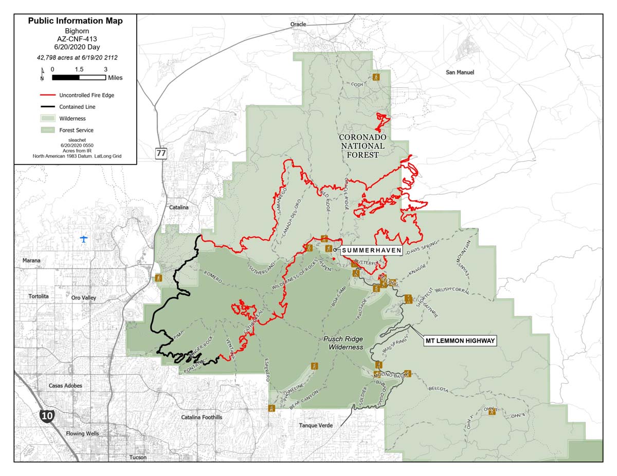
The map below shows the growth of the Bighorn Fire over a 24-hour period.
Firefighting resources assigned to the fire include 20 hand crews, 64 engines, 18 water tenders, 6 dozers, and 7 helicopters for a total of 894 personnel.
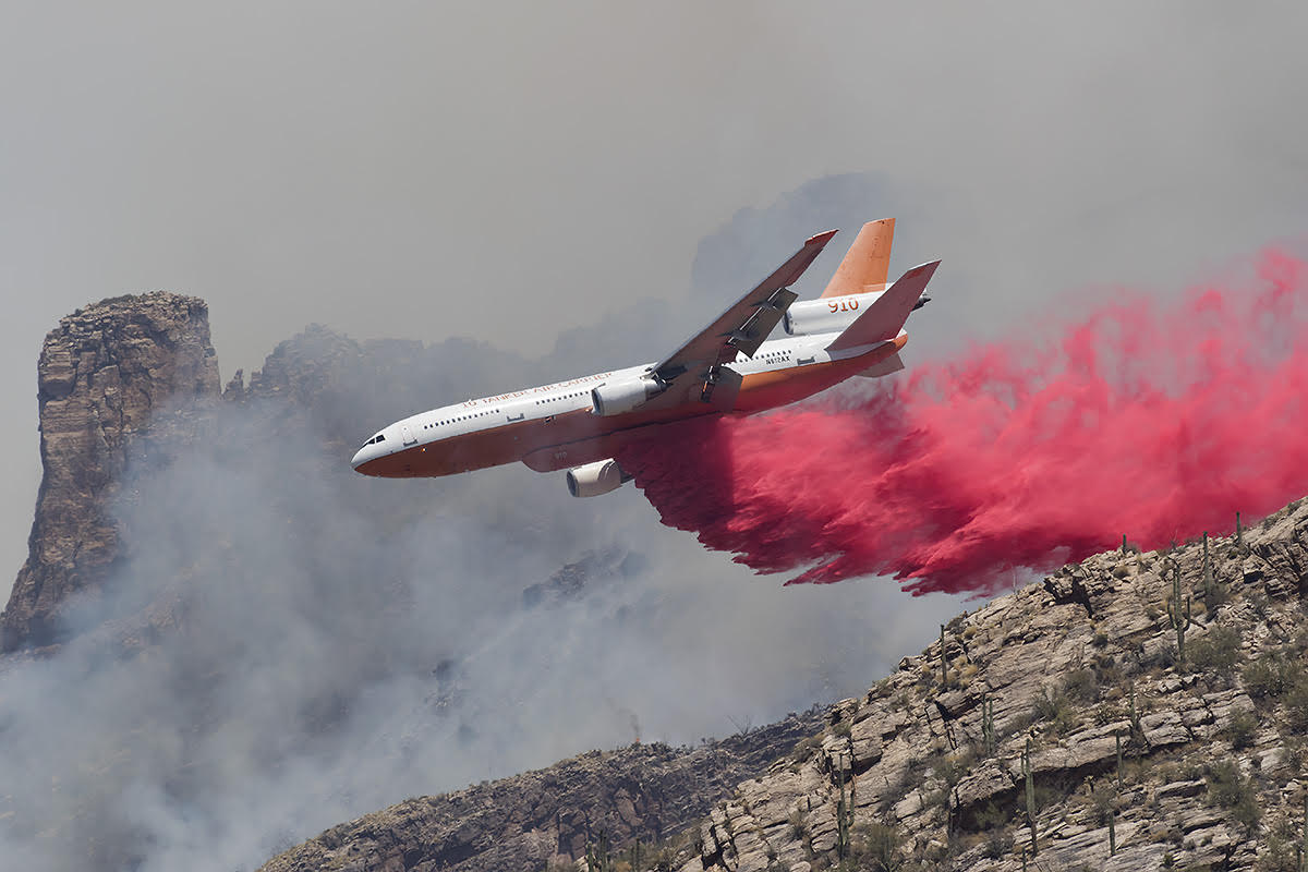 Tanker 910, a DC-10 operated by 10 Tanker Air Carrier drops on the Bighorn Fire. N612AX. Ned Harris photo.


