


(UPDATED at 8:37 p.m. MDT June 27, 2017)
(Originally published at 8 a.m. MDT June 27, 2017)
****
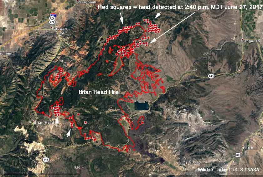
Strong southwest winds gusting over 40 mph combined with relative humidity of five percent to push the Brian Head Fire in Utah another four miles to the northeast. Flames rising to 100 feet were reported by firefighters. The big run Monday afternoon added another 6,190 acres to bring the total burned area to 49,626. More fire activity south of Highway 143 resulted in another 200 acres burned east of the 050 Road.
The weather conditions on Tuesday will not be as severe as Monday, but could still result in significant additional spread of the fire while a Red Flag Warning in effect. The forecast for the fire area calls for 73 degrees, relative humidity of 9 percent, and southwest winds of 10 to 17 mph gusting up to 24.
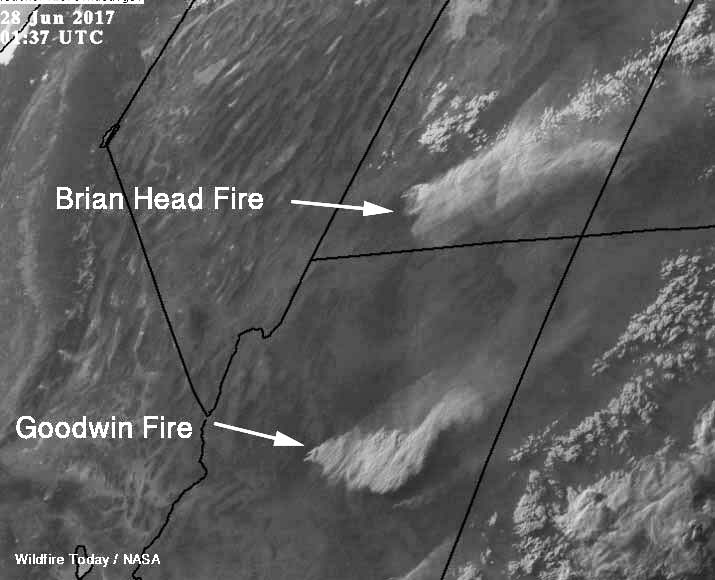
With that forecast in mind, firefighters are looking several miles north of the fire to where the fuels change from old-growth timber to sage and grass, which should result in more successful suppression efforts.
Evacuations are still in effect for many areas and Highway 143 is closed from the cemetery in Parowan to milepost 50 outside of Panguitch. Mammoth Creek Road is closed at the junction with Highway 143. The north side gate of 143/148 is closed. The Dixie National Forest has expanded its area closure to include Forest lands north of Highway 14.
Morning briefing underway inside the CCC Arena in Panguitch. @KSL5TV #KSLAM pic.twitter.com/iDZ7GH8ljc
— Caitlin Burchill (@newsyCaitlin) June 27, 2017
100 foot flames on the #brianheadfire again today. Estimates for acreage growth low because of the smoke column masking the ground. pic.twitter.com/JBMemlHdBW
— Heidi Hatch (@tvheidihatch) June 27, 2017


