


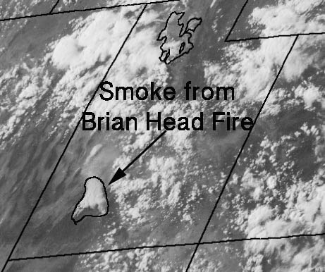
The Brian Head Fire east of Cedar City, Utah was influenced by strong winds from the southwest that at times gusted over 40 mph while the relative humidity dipped to five percent.
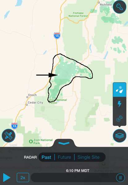
The intense burning caused a pyrocumulus cloud to develop as the fire and the smoke moved to the northeast. As you can see here, a satellite photographed the smoke plume and it was also detected by radar.
Only judging from the fire intensity shown in these images, I would be surprised if the indirect contingency firelines constructed Sunday by dozers northeast of the fire were able to constrain the blaze as hoped.
#BrianHeadFire pyrocumulus cloud looking east from Cedar City pic.twitter.com/leMtCYAlTu
— Craig (@Craig_Marchant) June 27, 2017







