


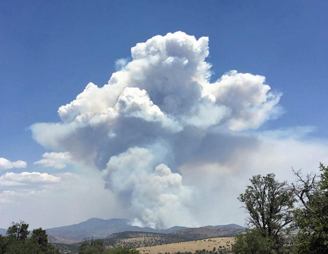
After exhibiting moderate growth since it started from a lightning strike on June 6, the Bringham Fire in eastern Arizona more than tripled in size Thursday. It was mapped Wednesday night at 3,318 acres, and 24 hours later an infrared mapping aircraft determined it had grown to 10,803 acres.
The fire is 23 air miles north of Clifton, Arizona and 27 air miles southwest of Alpine, Arizona. Values at risk that have been identified include the highway, area cabins, Rose Peak lookout, campgrounds, natural and cultural resources, and threatened and endangered species and their habitat.
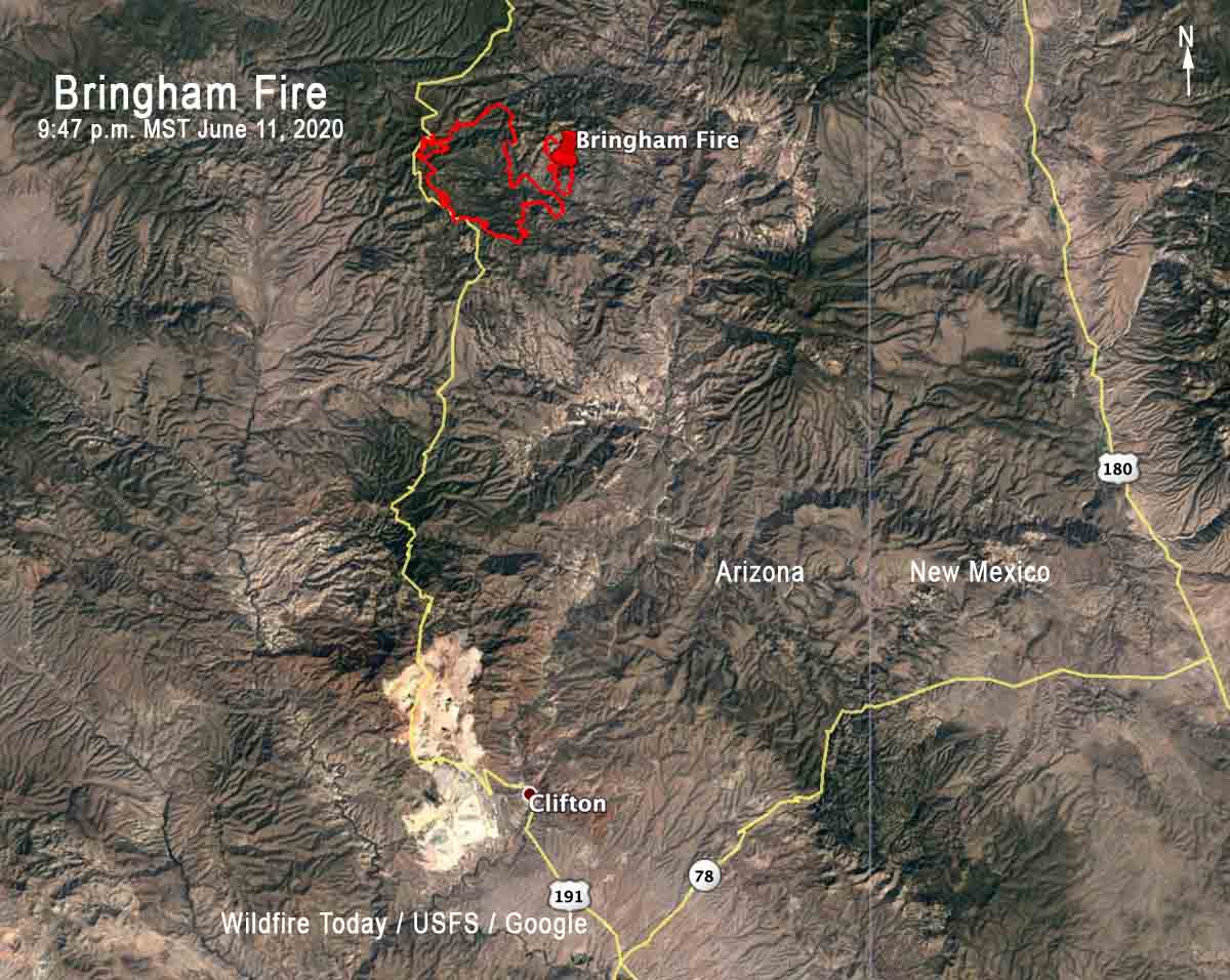
Firefighters have been conducting burnout operations in an attempt to keep the fire east of Highway 191. Portable water tanks have been set up along the highway to support helicopter operations in this effort.
Resources on the fire include 4 hand crews, 1 initial attack crew, 4 engines, 2 water tenders, 3 helicopters, plus various incident management overhead.


