


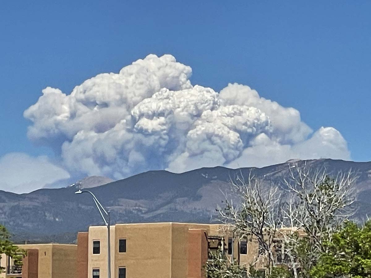
 Calf Canyon – Hermits Peak Fire in northern New Mexico, May 10, 2022. Seen from Santa Fe. Photo by Allen Olson.
Most of the growth of the Calf Canyon – Hermits Peak Fire Wednesday was on the north end where it spread for one to three miles further north and northeast. As of Wednesday night at 10:39 it remained west of Highway 434. It increased by about 22,000 acres Wednesday to bring the total up to 259,810 acres.
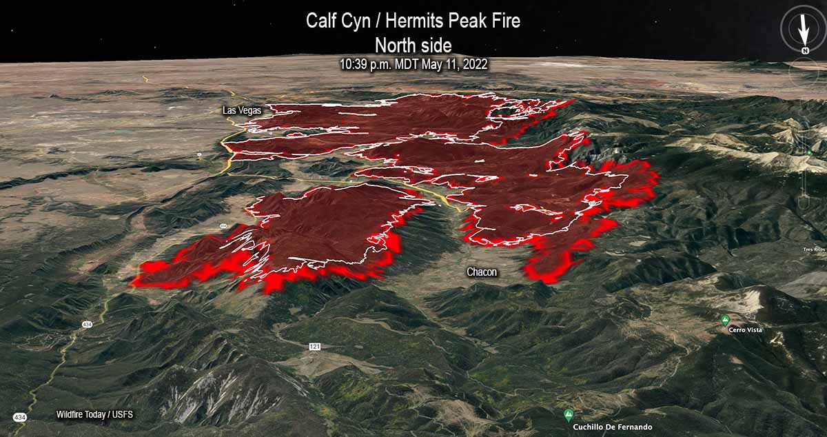 3-D Map of the Calf Canyon / Hermits Peak Fire, looking south. The red line was the perimeter at 10:39 p.m. MDT May 11, 2022. The white line was the perimeter about 24 hours before.
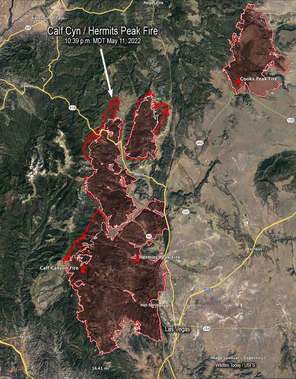 Map of the Calf Canyon / Hermits Peak Fire. The red line was the perimeter at 10:39 p.m. MDT May 11, 2022. The white line was the perimeter about 24 hours before.
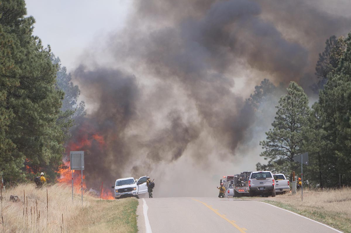 Firefighters hold the Calf Canyon -Hermits Peak Fire at Highway 434, May 10, 2022. Inciweb.





