


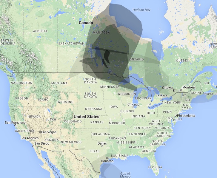
Smoke from the wildfires in Canada is now affecting the northern edge of the Great Lakes States and has moved into New England.
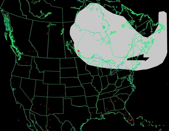
To see the most current smoke reports on Wildfire Today, visit the articles tagged “smoke” at https://wildfiretoday.com/tag/smoke/


