Skip to content

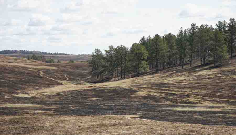
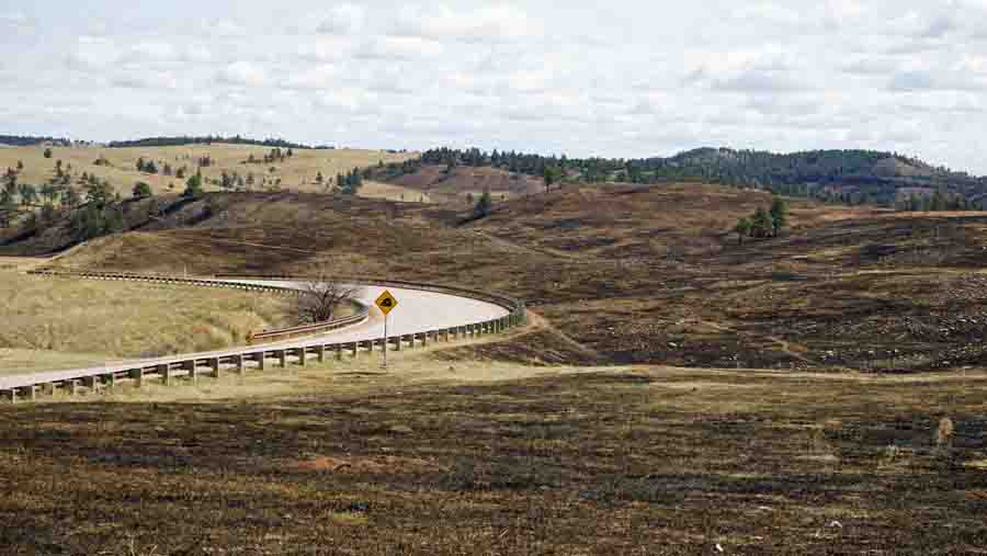
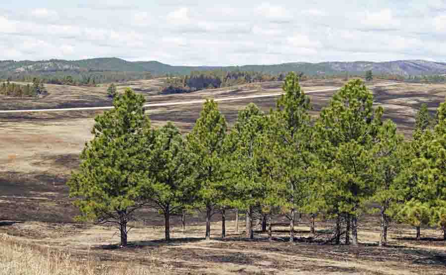
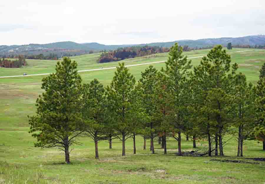
Comparison photos, 6 days and 39 days after escaped prescribed fire

Cold Brook Fire
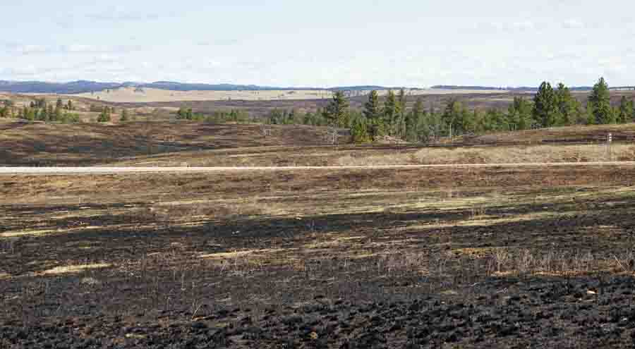
Highway 385, which can be seen in the distance, was supposed to be the boundary of the prescribed fire. Only the land on the far side of the highway was planned to burn.

Wind Cave prescribed fire

These photos were taken by Bill Gabbert in the area burned when the April 13 Cold Brook prescribed fire escaped in Wind Cave National Park. In each pair of pictures, the first was taken on April 19, 6 days after the fire, and the next was taken on May 22, 39 days after the fire.
Cold Brook Fire
Looking east from the planned burn area to Highway 385 which did not serve as an adequate fire line under the conditions that day.

Wind Cave prescribed fire

Cold Brook Fire

Wind Cave prescribed fire

Cold Brook Fire
The north end of the fire, east of Highway 385.

Wind Cave prescribed fire

Related articles on Wildfire Today:

Cold Brook prescribed fire escapes in South Dakota
Wind Cave National Park bounces back from escaped prescribed fire

Comments

More in Reports