Above: A helicopter flies over the Currandooley Fire near Tarago. New South Wales Rural Fire Service photo.
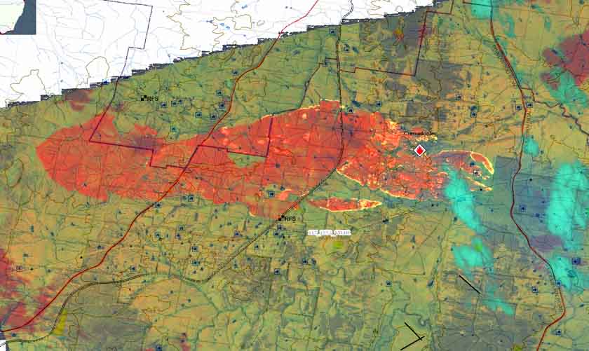
The Currandoole Fire has burned 6,054 acres (2,450 ha) and one structure in the Boro and Mount Fairy area south of Tarago, New South Wales.
On Tuesday a severe thunderstorm moved across the fire and dropped some rain, but not enough to extinguish the blaze. Firefighters will continue to strengthen containment lines Tuesday night ahead of challenging hot, dry and windy conditions predicted for Wednesday.
The DC-10 and RJ85 air tankers were dispatched and assisted firefighters on the ground.