


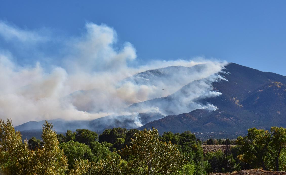
(7:30 a.m. MDT October 4, 2019)
A mapping flight Thursday night found that the Decker Fire south of Salida, Colorado had grown by 2,078 acres since the previous flight about 48 hours before, bringing the size up to 5,824 acres. Most of the expansion occurred on the north side bringing it to 2.5 miles south of Highway 50. On the northeast side it spread almost a mile outside the boundary of the Rio Grande National Forest toward Wellsville.
Thanks to higher humidity and calmer winds the fire was not as active Thursday as in recent days (see map below). Instead of the 2 percent relative humidity seen on the fire Wednesday, the minimum reached Thursday was 20 percent.
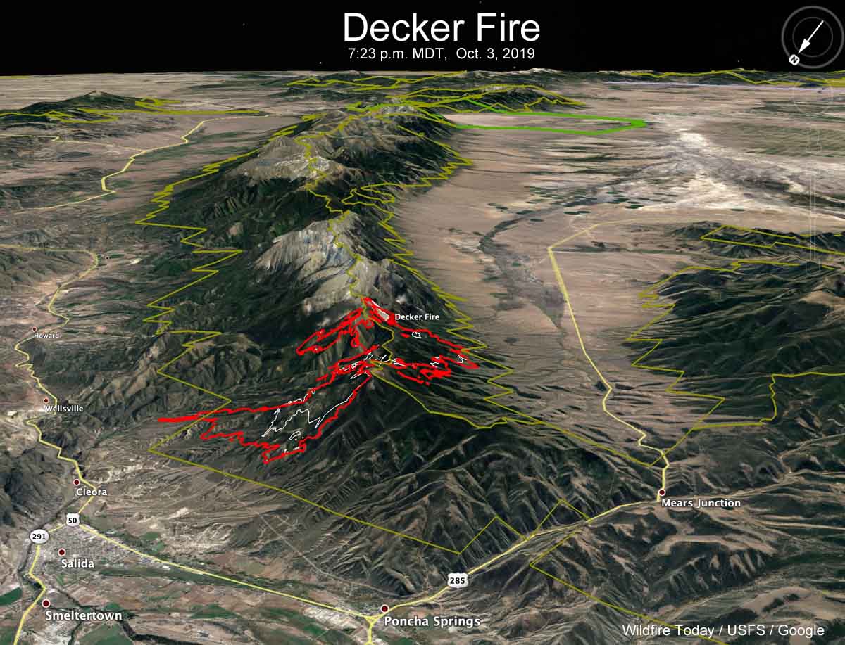
The weather forecast for the north side of the fire calls for 73 degrees and 15 mph winds out of the southwest or west on Friday and Saturday. The humidity will be in the teens Friday and single digits on Saturday.
(To see all articles on Wildfire Today about the Decker Fire, including the most recent, click here.)
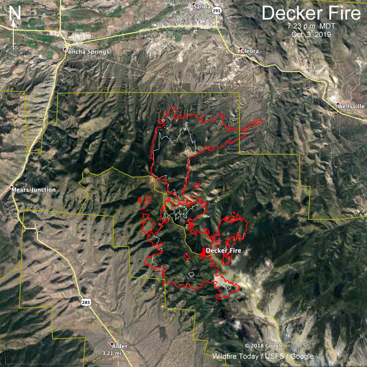
Resources assigned to the fire Thursday evening included 8 hand crews, 10 engines, and 5 helicopters for a total of 458 personnel. Approximately $2.3 million has been spent on managing this less-than-full-suppression fire to date.
The flight path of Colorado’s MultiMission Aircraft, a PC12, providing intel on the #DeckerFire south of Salida, Colorado Thursday afternoon. pic.twitter.com/NMnVn6GrHS
— Wildfire Today ? (@wildfiretoday) October 3, 2019
We will update this article as more information becomes available.


