

Updated at 7:08 a.m. PDT July 17, 2021

The updated map of the Dixie Fire west of the Feather River in Northern California shows that it spread northeast for two to three miles Friday and Friday night. At 9:35 p.m. Friday CAL FIRE reported that it had burned 8,754 acres, but it may have grown for another 1,000 acres or so.
The weather forecast for the fire area Saturday afternoon calls for sunny skies and 92 degrees, 10 to 13 mph southwest winds, and relative humidity in the mid-teens. Sunday will look about the same but with partly cloudy skies in the afternoon and a chance of thundershowers in the evening.
(To see all articles on Wildfire Today about the Dixie Fire, including the most recent, click HERE.)
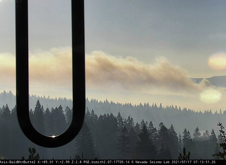
The Dixie Fire is west of Highway 70 in Feather River Canyon, 13 air miles northeast of Paradise and 24 miles north-northeast of Oroville.
6:42 p.m. PDT July 16, 2021
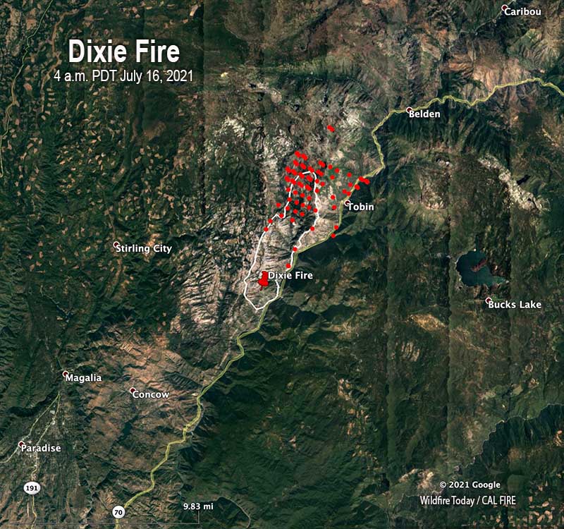
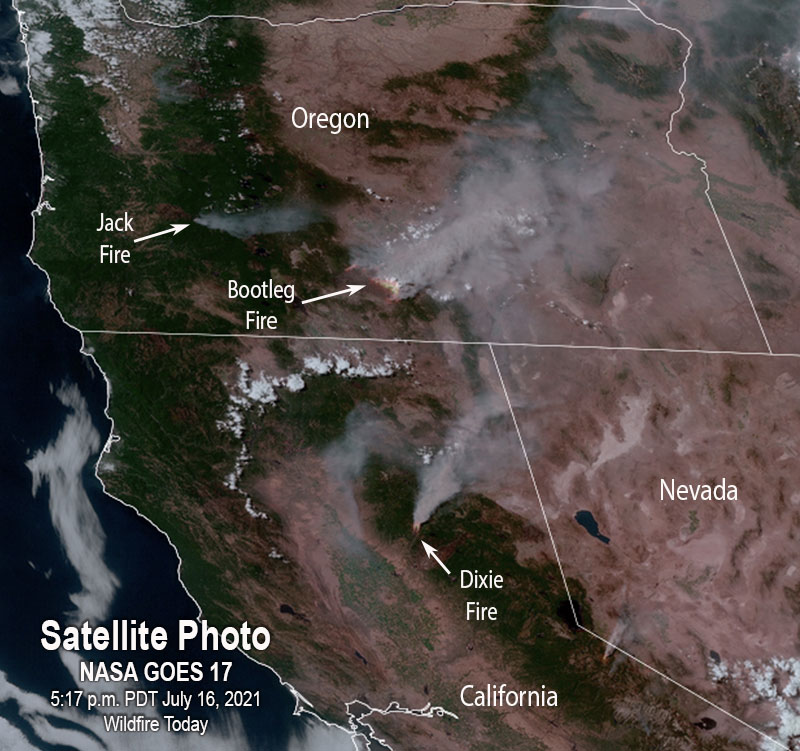
Since the Dixie Fire started at 5:12 p.m. on July 13 near the community of Merlin west of the Feather River in Northern California, it has burned 7,947 acres. As you can see in the satellite photo below it has been very active Friday afternoon, sending a large plume of smoke northwest which may be heavily affecting Chester, Caribou, Westwood, and possibly Susanville.
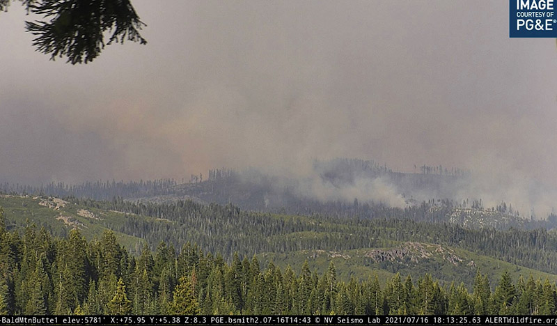
CAL FIRE reported Friday morning that terrain and winds pushed the fire further north into Tobin Ridge, but the west and south sides of the fire were at that time holding within containment lines.
The Dixie Fire is west of Highway 70 in Feather River Canyon, 13 air miles northeast of Paradise and 24 miles north-northeast of Oroville.
Resources assigned to the fire Friday morning included 39 hand crews, 10 helicopters, 86 engines, 18 dozers, and 9 water tenders for a total of 1,018 personnel.
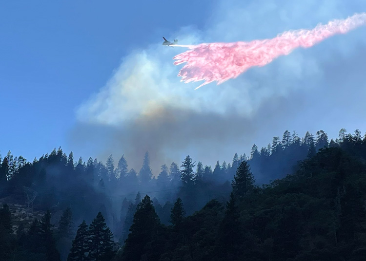 An S2T drops on the Dixie Fire in Butte County, California July 13, 2021 shortly after it started. Photo by CAL FIRE.
It looks like an inmate crew got a ride on a Union Pacific Fire Train:
#DixieFire pic.twitter.com/3tAWzNplwa
— David Swanson (@SwansonPhotog) July 16, 2021
If you want to go down a rat hole to learn more about fire trains, jump in to see all articles on Wildfire Today tagged Fire Train.


