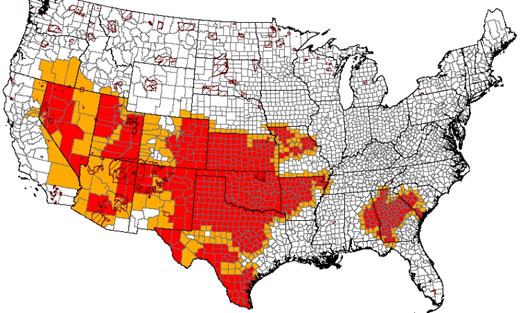
The US Department of Agriculture has designated 597 counties as primary natural disaster areas due to drought. HERE is a list of the counties.


The US Department of Agriculture has designated 597 counties as primary natural disaster areas due to drought. HERE is a list of the counties.




