UPDATE at 7:57 p.m. PT, July 22, 2011:
At 7:44 p.m. PT the FireWatch helicopter mapped the fire at “3,700 acres plus”.
===================
7:00 p.m. PT, July 22, 2011:
The Eagle fire in southern California near Warner Springs has quickly grown to become one of the largest fires in southern California so far this year. Burning in northern San Diego County on the Los Coyotes Indian Reservation, by 6:00 p.m. PT Friday it has grown to 2,850 acres. The number of hand crews on the fire matches the number of engines — 25 of each. I doubt if there is any other place in the world where you could get 25 hand crews on a fire in the first 7 hours. Of course, some of those may be ordered but not yet on scene. CalFire is calling it 15% contained.
You can listen to radio traffic from the fire at RadioReference.
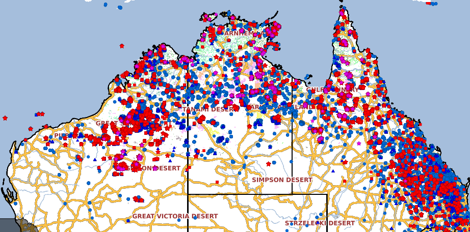
Here are two maps showing the location of the Eagle fire.


One of the readers of Wildfire Today, “Lone Ranger”, from a vantage point in the desert east of the fire, sent us this information at 6:11 PT today:
==============================================
“…The predominant winds have been pushing the fire northeastward into the desert mountains, wilderness, Sheep Canyon Natural Preserve, all day. I’d guess it’s up to around 2000 acres and burning in the rugged peaks and canyons north of San Ysidro Peak and Ranchita.
It started (no lightning) on an eastern part of the Los Coyotes Reservation out of Warner Springs. It moved eastward into Anza-Borrego Desert State Park early this moring and has been burning in the Palm Canyon drainage west of Borrego Springs all day. As best as I can tell it’s been in the bottom of the Middle Fork and likely the North Fork of Palm Canyon and up and down the ridges and peaks in between. A lot of smoke and backing in the burn area of the 2002 Pines Fire but it does get up and moving occassionally in some draws.
Since it’s in the State Park (desert mountains)few resources will be spent other than monitoring I’d guess. It just isn’t going to go anywhere other than taking out some long unburned canyons and ridges north of the Pines Fire burn and lots of beautiful desert wilderness. Some native palm groves, usually quick to recover but in these drought conditions, who knows. Old junipers and mesquites. The bighorn sheep have plenty of room to get out of the way. If will probably burn to the desert floor in Coyote Canyon in a day or so. I’m curious if State Park management will permit it to burn through and beyond (never before!). I’m hoping unfortunate inmates will draw the line there in our lovely summer temps but it would be interesting to break new ground by letting it burn through and across Coyote Canyon, a very prominent desert natural resource. An ecologist’s and State Park powers’ dilemma. I wonder!
The oaks and pines of the Los Coyotes up on top? I’m sure that’s where the forces have been.
No photos of note. Just lots of smoke visible from this desert side but maybe a light show tonight. Surely my swamp cooler will fill my place with the sweet fragrance of smoke as it descends into the Borrego Valley later this evening.
No water drops visible. A very distant CDF Bronco on occassion and perhaps the sound of a very distant bomber. It’s just the biggest fire of the season so far. That’s all.
There’s always the chance of it squirreling around on top and, who knows? Likely, not.”