


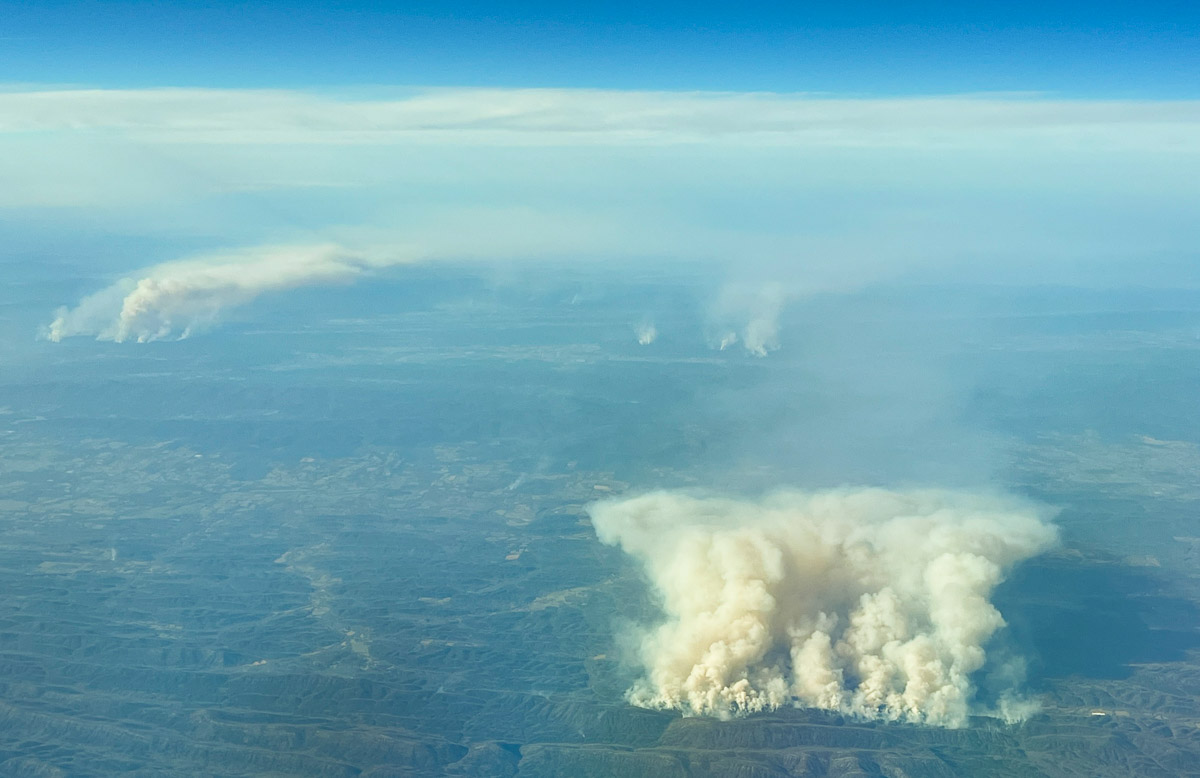
 Fire north of Dierks, Arkansas at 6:36 p.m. CT March 20, 2022. Photo by Bill Gabbert.
On a flight that took me over Arkansas today, March 20, there was quite of bit of fire activity in the western part of the state. From 30,000 feet it was impossible to tell if it came from prescribed fires or wildfires. The photo above was taken approximately 21 miles north-northeast of Dierks, looking north.
Heat detected by satellites, which may be the larger smoke in the photo, was long and narrow in an east-west direction, just north of Hurricane Knob.
A weather station north of the smoke on Sunday afternoon recorded 78 degrees, 17 percent RH, and 6 mph winds gusting out of the south-southwest at 10 to 14 mph.
There were numerous smaller smokes north and northwest of the ones seen in the photo.







