(UPDATED at 12:57 p.m. MDT July 17, 2020)
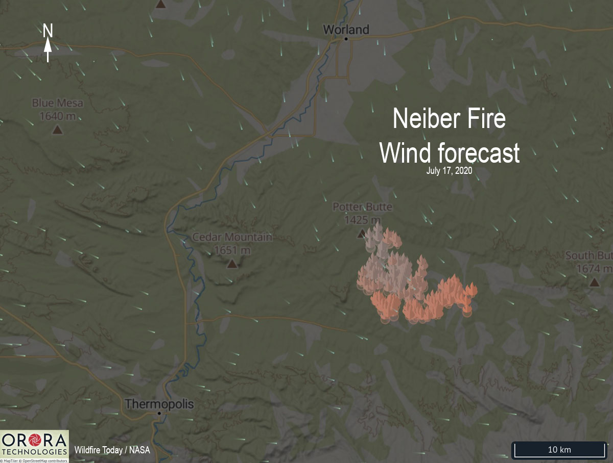
Over the last two days the primary growth of the Neiber Fire 13 miles south-southeast of Worland, Wyoming has been to the southeast, pushed by winds out of the northwest. The map above shows the predicted wind direction for Friday.

Thursday evening information from the Type 3 Incident Management Team indicated it had burned 17,545 acres of private and BLM managed land, an increase of almost 10,000 acres in two days.
The Neiber Fire is spreading through brush and short grass and is threatening facilities in the Murphy Dome Oil Field.
(Originally published at 7:10 p.m. MDT July 15, 2020)
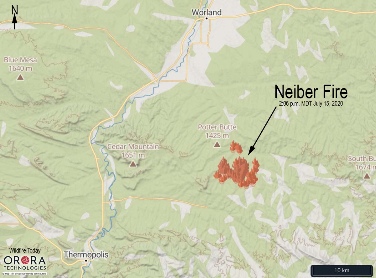
In the 24 hours since the Neiber Fire was reported Tuesday afternoon, by 4 p.m. Wednesday it had grown to 7,800 acres according to the Bureau of Land Management. The fire is in Pistol Draw .
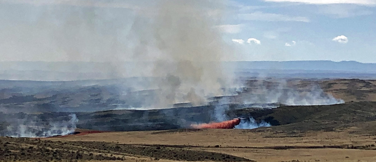
A Type 3 Incident Management Team has been ordered. The firefighters on the ground, including the Palouse hand crew from Idaho and the Black Hats from South Dakota, are being assisted by a DC-10 very large air tanker, large air tankers, single engine air tankers, and helicopters.
We will update this article as more information becomes available.