


A fire that started in the Boundary Waters Canoe Area Wilderness (BWCAW) and was not suppressed for about two weeks, has burned outside the BWCAW and become the largest fire in Minnesota since 1918. The Pagami Creek fire has burned 100,000 acres, according to the incident management team, and forced evacuations on the south and east sides of the fire. Scroll down to see maps of the fire.
It started from a lightning strike on August 18 and by August 30 had burned approximately 130 acres.
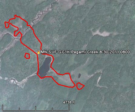
The staff at the BWCAW and the Superior National Forest decided to monitor it and allow natural processes to run their course. They conducted some firing operations, burning an additional 2,000 acres, to herd the fire away from populated areas on the north and west sides, but by last weekend it was obvious that they needed to suppress it. Strong winds on Monday of 15-20 mph gusting up to 35 mph spread the fire 16 miles to the east. At that point the intensity of the fire far exceeded the capabilities of the fire suppression forces. Winds again on Tuesday spread the fire even further, to the point where it is now mapped at 100,000 acres. However the smoke makes mapping difficult, and that acreage may change after firefighters can actually see the full perimeter.
The Pagami Creek fire is ranked as the third largest fire in the history of Minnesota. Larger fires were the 250,000-acre fire near Cloquet in October of 1918 which killed 559 people, and a 200,000-acre fire near Hinckley in September of 1894 which killed 418 people. Here is a link to more information about “Infamous Fires”.
The maps below show what it looks like now:
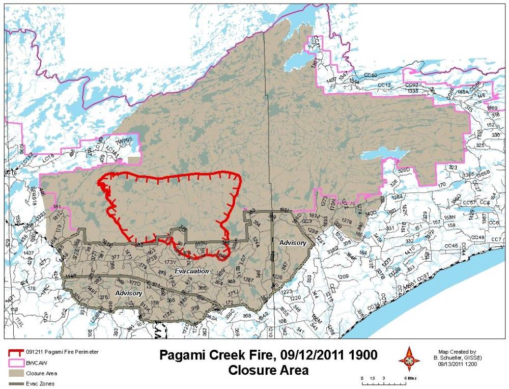
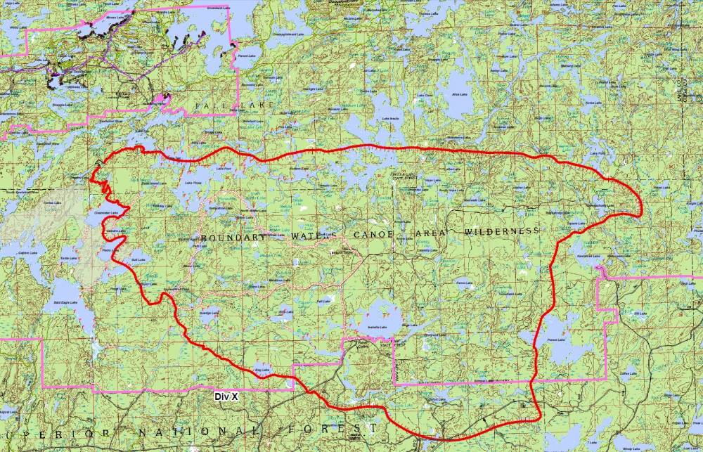
The video below was uploaded to YouTube September 12, 2011. It consists of a slide show of very nice still pictures, many showing smoke from the Pagami Creek fire. The description reads: “Paddling in the shadow of the Pagami Creek Fire, Boundary Waters Canoe Area Wilderness, September 2011 – www.gregseitz.com ”







