Above: Snow at the Tinder Fire Incident Command Post, May 2, 2018. IMT photo.
(Originally published at 1:55 p.m. MDT May 4, 2018)
The Incident Management Team reported Friday morning that 33 residences and 54 outbuildings burned in the Tinder Fire, which started a week ago 22 air miles northeast of Payson, Arizona.
(To see all articles on Wildfire Today about the Tinder Fire, click here.)
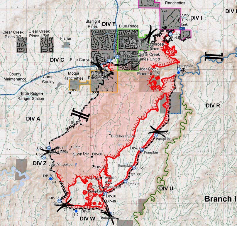
By sunset today, May 4, all evacuation orders will be lifted on the 12,628-acre blaze. Displaced residents are being allowed into the communities during a staged re-entry process beginning with those whose homes burned. Highway 87 will reopen at 7 p.m. today.
Firefighters are conducting burnout operations today on the northeast and east sides as conditions allow to further secure unburned interior islands within the fire perimeter.