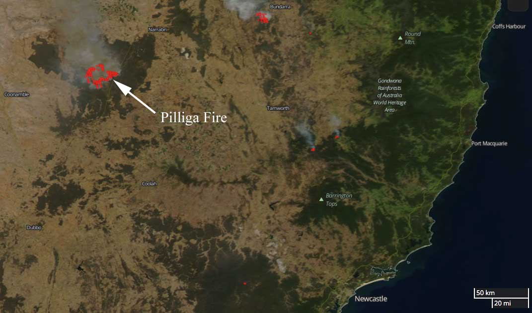
Above: The Pilliga Fire 60 km southwest of Narrabri, New South Wales, Australia. Modified Copernicus Sentinel satellite data processed by Pierre Markuse.
(Originally published at 8:46 MST January 19, 2018)
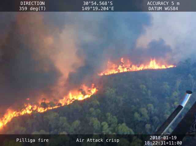
The Pilliga Fire in Australia between #Coonabarabran and #Narrabri has burned approximately 20,000 hectares (49,400 acres) in New South Wales, requiring the closure of the Newell Highway. The fire is burning near Dipper Road, Dandry, in the Pilliga Forest west of the highway.
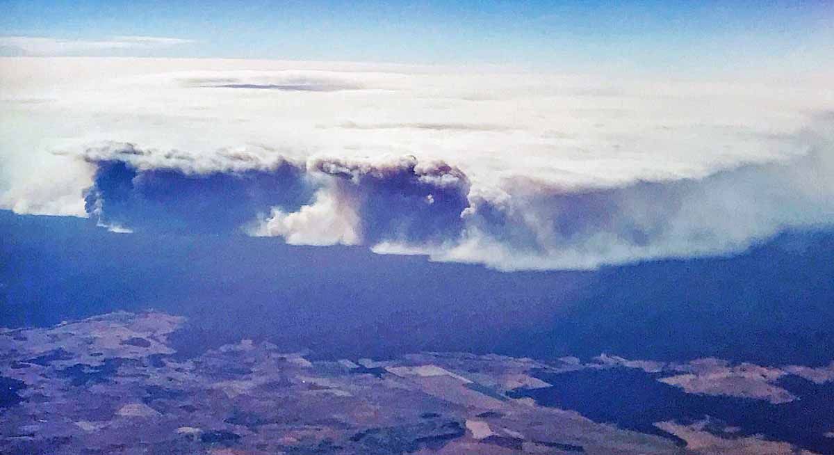
The Rural Fire Service reports that smoke is likely to drift across the Wee Waa, Gwabegar, and Baradine areas. There is, however, no current threat to homes.