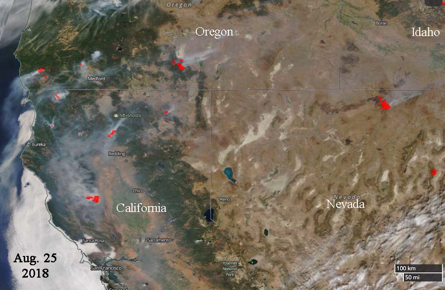
The NASA satellite photo above taken August 25, 2018 shows heat (in red) and smoke created by the fires in parts of California, Oregon, Nevada, and Idaho. Cloud cover in Washington and Northern Oregon made it impossible to see the fires in those areas.
Six states have Red Flag Warnings (red areas) in effect for August 26, 2018.

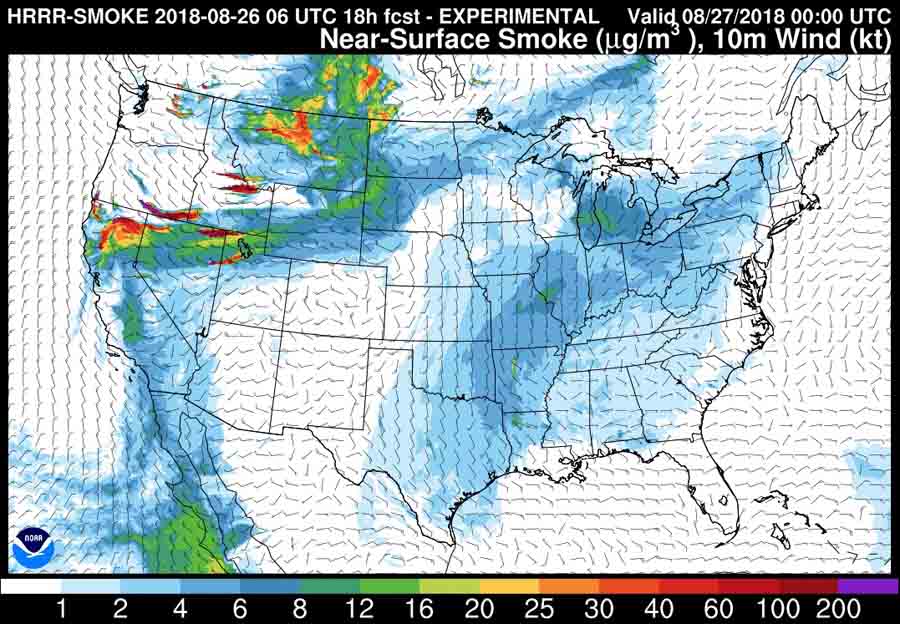
On Sunday forecasters expect wildfire smoke to be transported east or northeast in most areas.