Skip to content

Satellite photos of California wildfires

Satellite photo California wildfires

(Originally published at 6:43 p.m. PDT October 12, 2017)

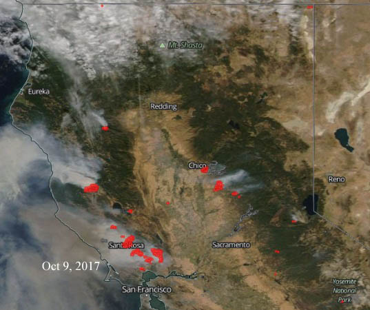
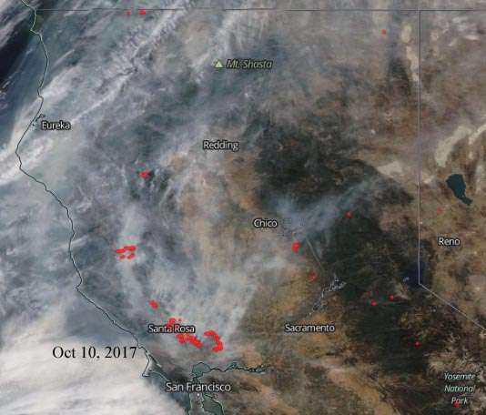
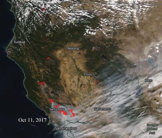
These satellite photos show the growth of the wildfires in northern California. The photo above is from October 12, 2017. The red dots represent heat.

The next four photos are October 8 through October 11.

Satellite photo California wildfires

Satellite photo California wildfires

Satellite photo California wildfires

Satellite photo California wildfires

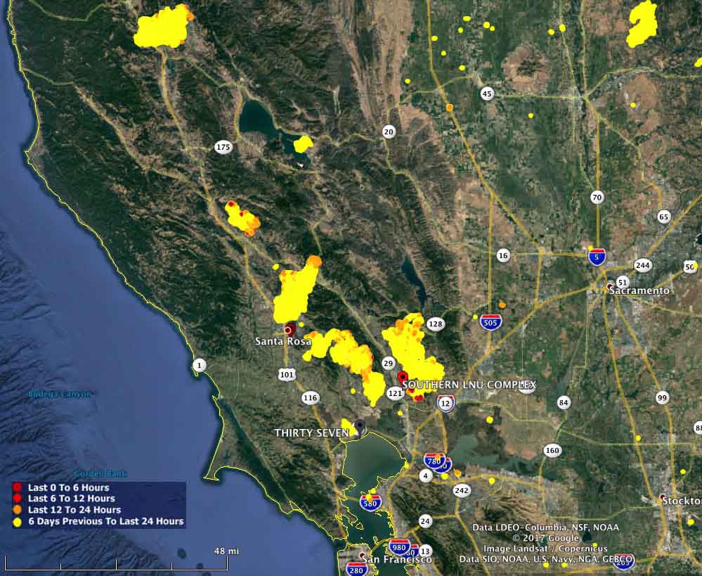
Below is a map showing heat detected on the fires over the last week.
map California wildfires
Map showing heat detected on wildfires in California over the last week. Created at 5:30 p.m. PDT October 12, 2017.

Comments

More in Reports