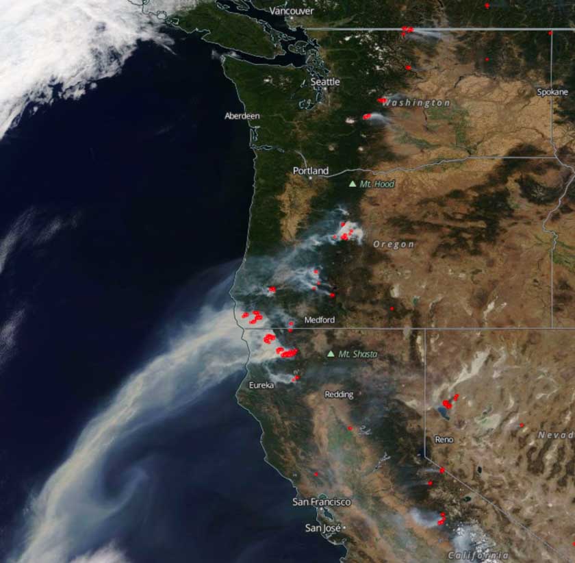
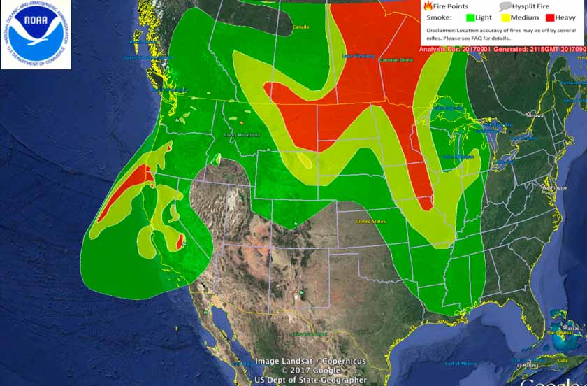
Smoke map, and Satellite photo of Northwest wildfires
Bill Gabbert
Satellite photo from September 1, 2017 showing smoke from wildfires. The red dots represent heat detected by the satellite. Click to enlarge. Distribution of smoke from wildfires, September 1, 2017.