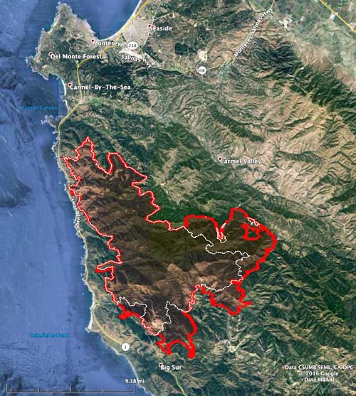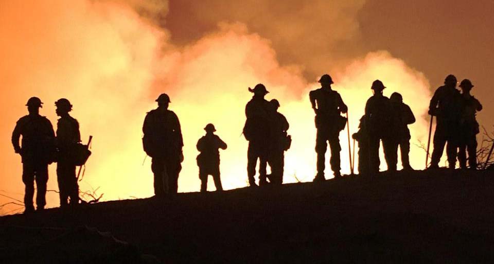
For 16 days the Soberanes Fire has spread through the Santa Lucia Mountains that rise abruptly from the Pacific Ocean above Big Sur. Since we last wrote about the fire on August 2 the fire has grown from 43,000 to 57,845 acres. There have been no reports of additional homes burned since it was announced five days ago that 57 residences and 11 outbuildings had been destroyed. Another three homes have been damaged.
Since starting from an illegal campfire, the blaze has been moving through very steep, rugged, inaccessible terrain. Several areas are under evacuation orders.

It has burned to within 1.2 miles of Big Sur on Highway 1, and is 15 miles west of US 101. It has not crossed US 101 and at its closest point is about 1,000 feet from the highway.