UPDATED at 1:53 p.m. PDT Oct. 8, 2019

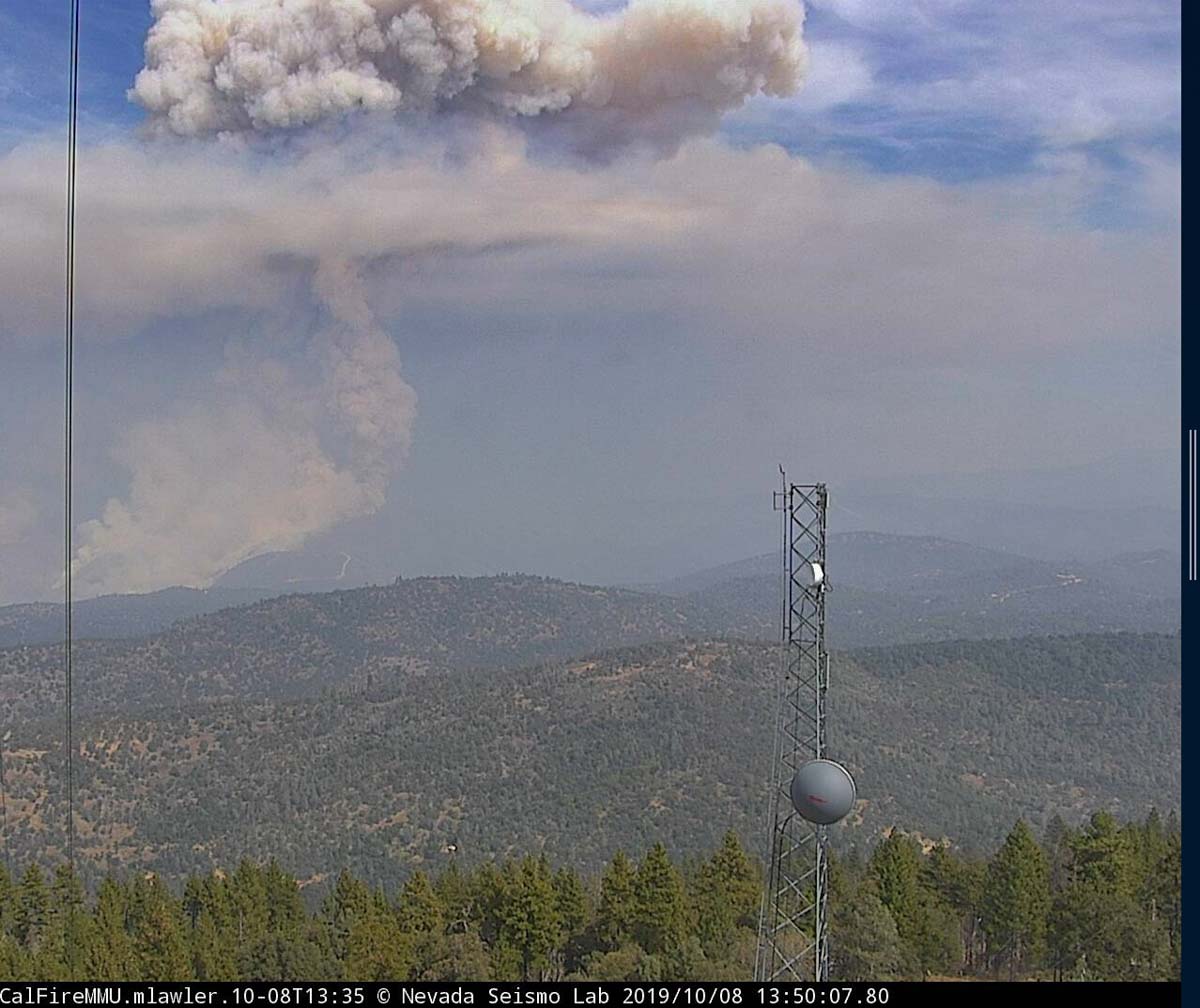
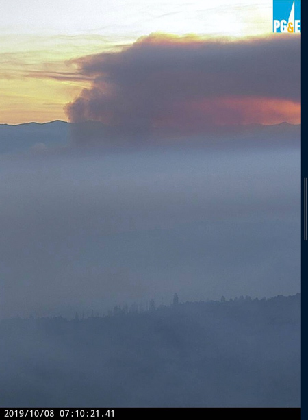
Activity on the Briceburg Fire north of Mariposa, California, increased after noon when the smoke column broke through the inversion.
9:31 a.m. PDT October 8, 2019


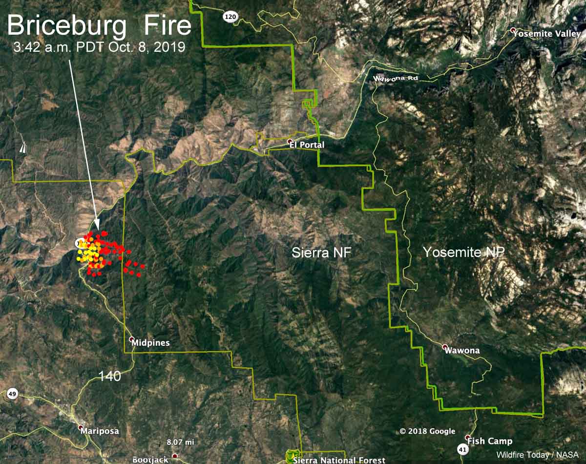
The map above shows heat detected by a satellite on the Briceburg Fire at 3:42 a.m. Tuesday. It indicates growth on the north and east sides, some of which could be firing operations by firefighters to stop the spread.
CAL FIRE is reported at about 9 a.m. PDT Tuesday morning that it has burned 800 acres. Our very, very rough unofficial estimate leads us to believe that with the firing operation it could be twice that size.
The fire is on both sides of Highway 140 just west of the Sierra National Forest 12 air miles southwest of the El Portal entrance to Yosemite, 7 miles north of Mariposa, and one mile west of the Sierra National Forest. At 6:46 a.m. PDT Highway 140 was closed in the Briceburg area.
Some shots from the Briceburg Fire , Mariposa Co. Monday afternoon #BriceburgFire pic.twitter.com/E8J9ExH3Ua
— Tim Walton (@Photo1Prod) October 8, 2019
Below: time lapse video of the Briceburg Fire as seen from the Bullion camera near Mariposa, CA.
Stunning timelapse of the #BriceburgFire which was burning out of control on Monday evening.
Matt pic.twitter.com/0CUgiJjHIE— BBC Weather (@bbcweather) October 8, 2019
Continue reading “Briceburg Fire burns hundreds of acres north of Mariposa, CA”
