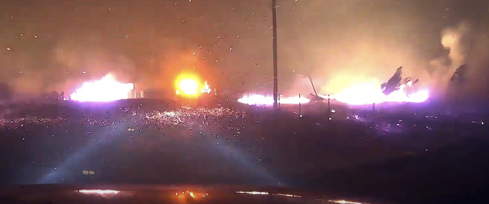
Video, driving through the Bond Fire

The fire burned more than 6,600 acres in Southern California December 3, 2020

Bond Fire
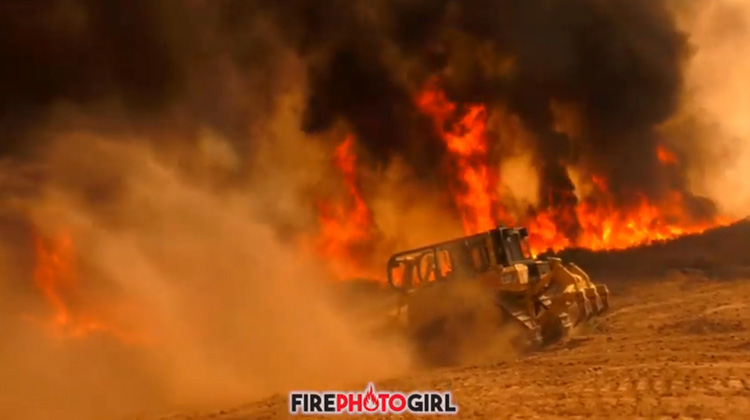
Bond Fire, screenshot from video by FirePhotoGirl.

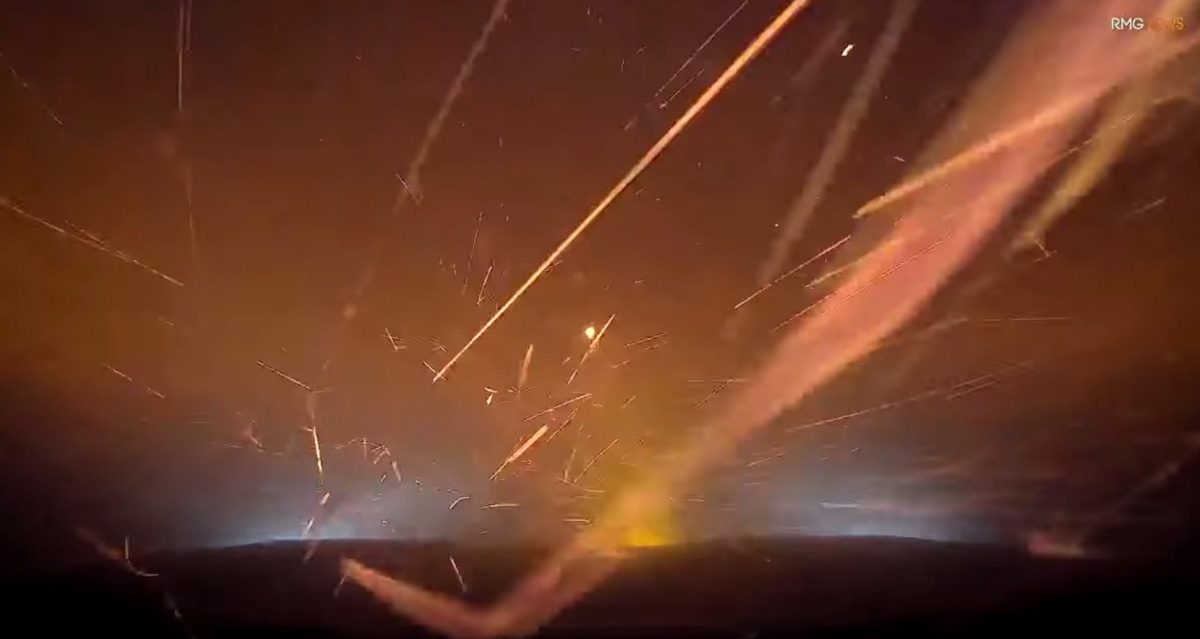
@FirePhotoGirl shot some fascinating video as she was driving through the Bond Fire in Southern California December 3, 2020.

Here is how she described it:

These videos were shot near the intersection of Santiago Canyon & Silverado Canyon. There were a few times I had to stop and wait it out and let the fire do its thing and cross over before I could continue, but if you ever wonder what it’s like driving through it, I hope this gives you a great visual.

The Bond Fire in Southern California east of Irvine started December 3, 2020 and burned 6,686-acres. Officials reported that 31 structures were destroyed and $14.4 million had been spent on suppression as of December 12.
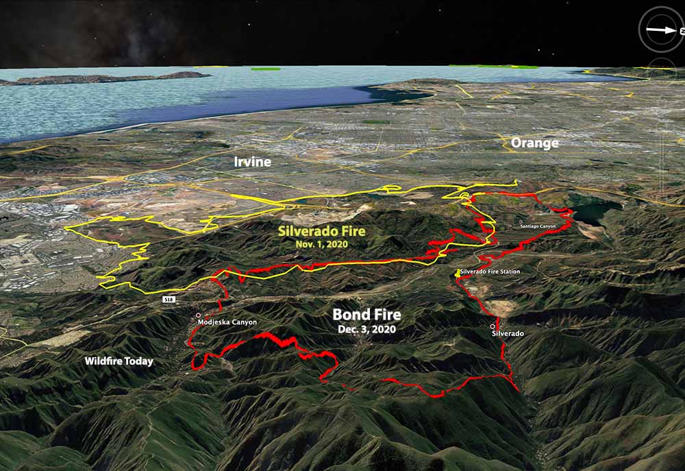
Bond Fire Dec. 3, 2020
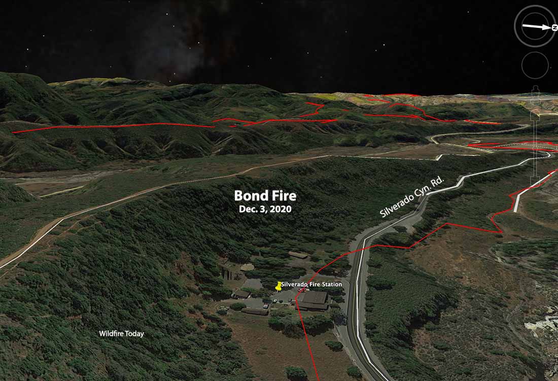
3-D map showing the perimeters of the Silverado and Bond Fires, looking west.

(Link to all articles on Wildfire Today about the Bond Fire)

Officials report 31 structures were destroyed in the Bond Fire in SoCal

The fire blackened 6,686 acres

Bond Fire Dec. 3, 2020
3-D map showing the perimeters of the Silverado and Bond Fires, looking west.

The spread of the 6,686-acre Bond Fire in Southern California east of Irvine has been stopped for several days but there are still two hand crews and 15 fire engines assigned. Officials report that 31 structures were destroyed and $14.4 million has been spent on suppression since it started December 2, 2020.

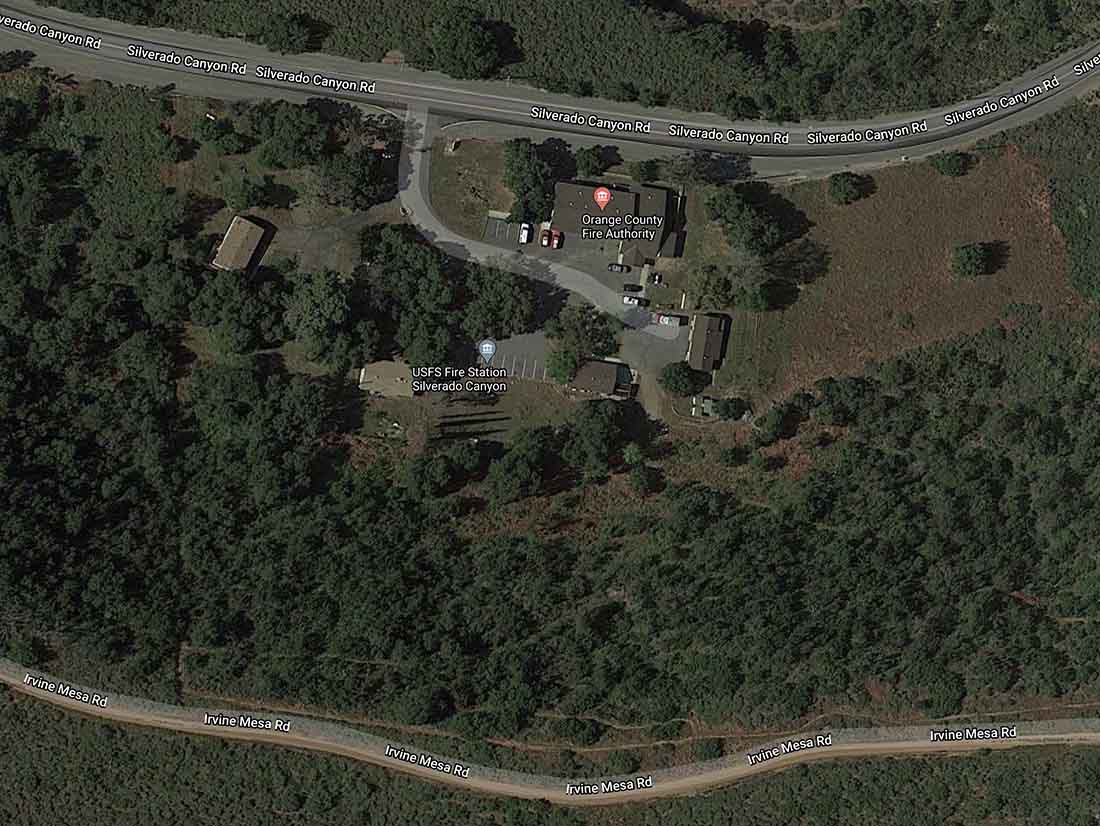
The fire burned very close to numerous homes in Silverado Canyon, as well as the Orange County/U.S. Forest Service fire station. Judging from the video below and the vegetation seen in the satellite photos, there may have been an interesting fire fight at the station.

Silverado Fire Station proximity to the Bond Fire
Silverado Fire Station proximity to the Bond Fire. 3-D image looking west. Fire Mapped Dec. 3, 2020. Satellite photo, May 2, 2019.
Silverado Fire Station
Silverado Fire Station, satellite photo May 2, 2019

Today Fire Photo Girl posted some excellent video she shot during the early hours of the fire.

Video shows photographer’s withdrawal while covering Cave Fire

FirePhotoGirl's dash cam video fire
Screenshot from FirePhotoGirl’s dash cam video before she turned around on Painted Cave Road. Used with her permission.

While reporting on the Cave Fire near Santa Barbara, California a fire photographer encountered a little more wildfire activity than she expected.

FirePhotoGirl is very active in coverage of fires and other emergency incidents, shooting footage for Southern California media as well as her twitter account, @FirePhotoGirl.

On November 25 just before midnight she was on the Cave Fire driving her vehicle down Painted Cave Road when she made what looks like a good decision to turn around. She described it like this when posting the dash cam video on YouTube:

Painted Cave – I was trying to go down and had to turn around. If you cant tell it was a little too warm. Do not try this or put yourself in harms way. This was very dangerous.

(Click here to see all articles on the Cave Fire, including the most recent)

The Cave Fire burned 4,330 acres northwest of Santa Barbara until rain and in the higher elevations, snow, stopped the spread November 27, 2019.

Excellent video footage of the Tenaja Fire by FirePhotoGirl

FirePhotoGirl video Tenaja Fire
Screengrab from FirePhotoGirl’s Tenaja Fire video.

FirePhotoGirl, a prolific and very skilled photojournalist, captured some excellent video footage of the Tenaja Fire which burned 2,000 acres at Murrieta in Southern California September 4 and 5. Check it out below; it is used here with her permission.

Bonus video below:

She sacrificed her equipment to get the video footage: