Gathering cattle with a helicopter in Montana. Photo by Kari Greer.
This is not a fire aviation story, but it involves a Bell 206-L4 and a photographer who is well known in the wildland fire community.
Vertical Magazine has an interesting article about a Montana rancher who flies a helicopter as part of his regular ranch activities, at times doing things that would normally be done by a cowboy on a horse. One of the best things about the article is that it has 14 photos taken by Kari Greer who spends her summers on the fireline with firefighters, taking great photos. Examples of her work can be found at Wildfire Today.
Here is how the article begins:
Loretta Lynn once sang, “There’s a built-in troublemaker in every man.” That may or may not be true. But there is undeniably a built-in troublemaker in every cow, and on this bluebird May day in west-central Montana, the troublemaker is acting up in the black heifer who is darting in and out of view through the chin bubble in Bill Galt’s Bell 206L4 LongRanger helicopter.
I’m riding along in the left seat; Galt is in the right, using his L4 to urge a dozen cow-calf pairs toward a crossing of swampy, overgrown Birch Creek. Or trying to. Every time Galt gets the bunch moving in the right direction, the unruly “dry” heifer, who doesn’t have a calf to slow her down, leads them off in a wrong one. Thirty feet above the ground, Galt is doing his best to head her off, maneuvering the LongRanger back and forth like a particularly quick and nimble cowhorse. Reinforcements soon arrive in the form of Galt’s nephew’s wife, Tanya Hill, on an actual horse, but the heifer only redoubles her efforts to evade us…
While Rae Brooks was assigned to the Happy Camp Complex of fires in northwest California she wrote this story about a crew from Saipan that was working on the fire. The photos were taken by Kari Greer.
****
Saipan firefighters usually battle scrubby mango and banana tree fires that last a day or two and burn less than five acres. For a month this summer, 15 firefighters from the tiny Pacific island broke in new boots while working on major wildfires in northern California.
The cold, dry night air, the 16-hour work days and the new boots took their toll, but the Saipan crew still raved about their month-long assignment.
“We all have busted-up feet, we’re sick, but we loved it anyway,” said crew member Derek Gersonde. “It’s a great learning experience.”
The Saipan crew flew to California in mid-August as part of a U.S. Forest Service program that brings wildland firefighters to the U.S. mainland to help out when fires are active and resources stretched. In a matter of days, the crew switched abruptly from their sea-level home of sandy beaches and coral reefs to the rugged mountains of northern California.
After being issued wildland fire-fighting gear — and buying wildland boots, which aren’t stocked in Saipan stores — they started building line at the French Fire on the Sierra National Forest.
Crew boss trainee Alle Recor found the crew tended at first to operate on “island time” and lacked the sense of readiness of the wildland world. On Saipan, fires are close by and easy to reach. But, with a little coaching, that soon changed, said Recor. She found the crew motivated, and eager to have fun and get the job done.
Thirteen of the 15 crew members, who range in age from 22 to 48, work primarily as structural firefighters and are qualified medics for the Saipan Department of Public Safety’s Division of Fire. Although wildland firefighting was a new world, the crew understood fire behavior from their structural background, Recor said. Two others were part of a 2008 Saipan crew that fought wildland fires in California
The crew’s fitness and ability to learn new skills quickly impressed crew boss Tyler Van Ormer, who normally works as a battalion chief with the National Forests of Mississippi.
“The guys catch on so quickly that sometimes I forget how green they are,” said Van Ormer. “You only have to show them once and it’s like they’re old hands at it.”
When Van Ormer got word of his assignment, he had to search Google to confirm the island was actually part of the United States. Saipan is the largest of the Northern Mariana Islands, a U.S. territory in the western Pacific, three-quarters of the way between Hawaii and the Philippines.
Instructors from the western United States travel to Saipan each April to provide basic wildland fire-fighting training. Selection to the wildland crew is competitive for course graduates. While wildfires do occur on Saipan, which is smaller than Rhode Island, they are usually caught quickly.
“It’s such a small island that a fire usually runs into a structure and slows down,” said Gersonde. “We don’t have these huge vast mountain ranges that just blow up. You come here and see how fast a fire can run.”
After the French Fire, the crew spent two weeks at the Happy Camp Complex on the Klamath National Forest.
To help hone their practical firefighting skills, five of the Saipan crew embedded with the Sierra Hotshots and some of the hotshots worked with the Saipan crew. The hotshots emphasized safety and proper technique. After a break, the crew returned to Happy Camp for a second stint. They flew home Sept. 17.
Crew boss Van Ormer lauded the Saipan crew’s work ethic.
“They’re disciplined, they’re nice, they’re polite,” said Van Ormer. “If they don’t know something, they ask. I’ve never heard a complaint. They’re the easiest guys I’ve ever worked with.”
The organizational structure behind fighting a big fire boggled the Saipan crew. When they returned to the Happy Camp Complex, 75 crews, 14 helicopters, 108 engines, 20 dozers and 50 water-tenders were working on the fire, which now sprawls over more than 200 square miles.
The entire island of Saipan is only 1,400 square miles.
After exposure to large-scale fires, some crew members find themselves contemplating a new career path in wildland firefighting on the U.S. mainland.
“A lot of us have it on our minds,” said Gersonde.
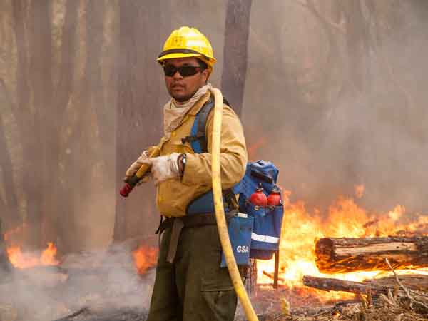
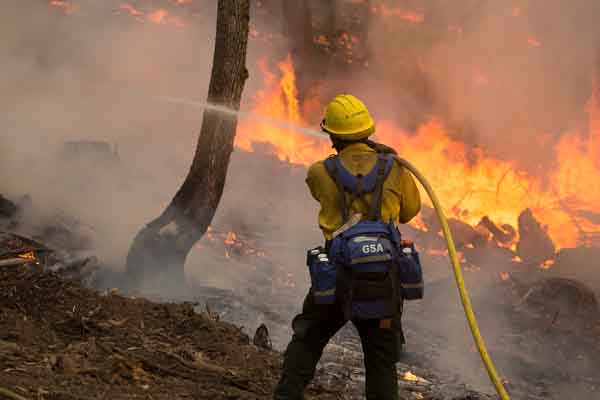
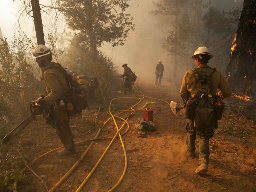
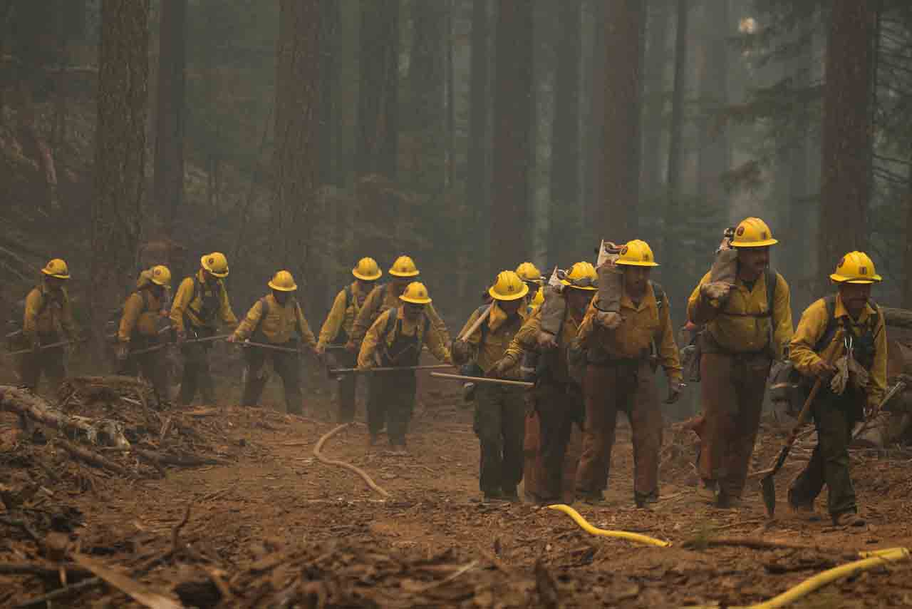
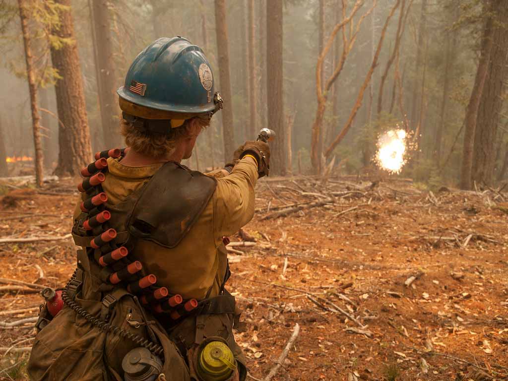
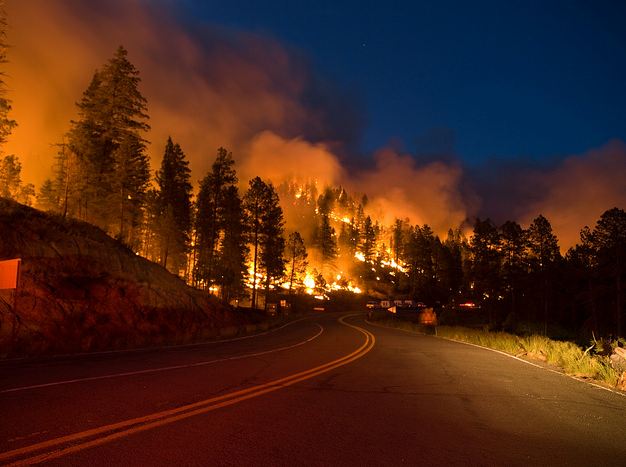
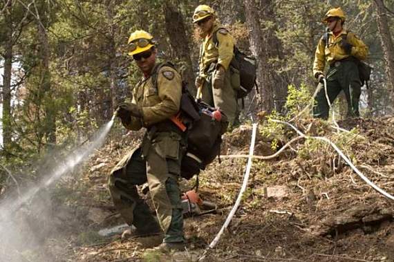
These photos of the Happy Camp Complex of fires were taken by Kari Greer for the U.S. Forest Service August 24 through 26. As you can see, she is one of the best fire photographers around. More of her work is available at Smugmug. Ms. Greer is under contract to the National Interagency Fire Center and carries a Red Card so that she can get right in the midst of the action. She left the Happy Camp Complex a few days ago, but just received a new order to return. At the 20-year commemoration of the South Canyon Fire in July, she found herself on the OTHER end of a camera lens.
The fire has burned about 77,000 acres in northwest California and is listed at 19 percent containment. It is being fought by 91 hand crews, 13 helicopters, 93 engines, 21 dozers, 44 water tenders, 29 mules, and 8 horses.
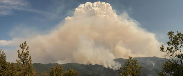
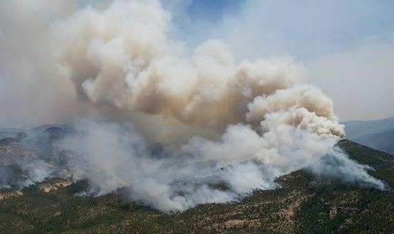
Pyrocumulus cloud over the Happy Camp Complex of fires, August 28, 2014. Photo by Kari Greer.
The growth of the Happy Camp Complex Fire on Friday was similar to the day before. Continued spread to the northeast added another 13,000 acres and brought the 57,722-acre fire to the banks of the Klamath River at the community of Seiad Valley. Exhibiting intense fire behavior it traveled north approximately three quarters of a mile up the Grider Creek drainage below a pyrocumulus cloud that formed above the large column of smoke.
The mandatory evacuations from Friday remain in effect. Communities that are threatened by the fire include Happy Camp, Elk Creek, Seiad Valley, Hamburg, Kelsey Creek and Scott Bar. Structure protection groups are placed in strategic locations to assist in protecting homes and property should the fire move into these areas.
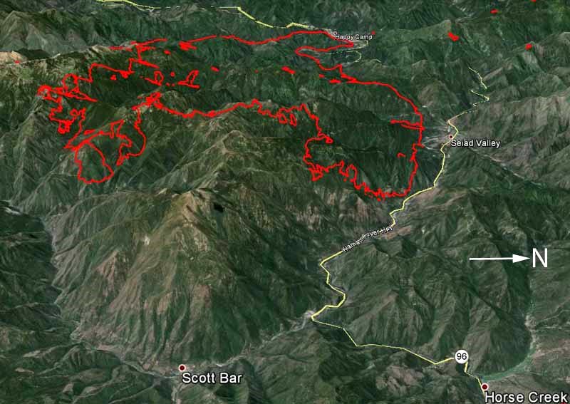
Click on the maps of the Happy Camp Complex below to see slightly larger versions.
Map of the Happy Camp Complex of fires at 12:05 a.m. MDT, 8-30-2014. 3-D Map of the Happy Camp Complex of fires at 12:05 a.m. MDT, 8-30-2014.
****
(Originally published at 10:06 a.m. MDT, August 29, 2014)
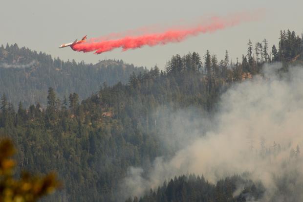
An MD-87 drops on the Happy Camp Complex. InciWeb photo.
The Happy Camp Complex of fires grew by 12,000 acres on Thursday, requiring additional mandatory evacuations in the Seiad Valley area, including:
Scott Valley Road from Bridge Flat to the intersection of Hwy. 96.
All areas south of Hwy. 96 between Scott River Road and Grider Creek.
All areas south of Hwy. 96 from Seiad Valley down river to Kade Summit.
On Thursday the two largest and most active fires in the Complex, the Faulkstein and Frying Pan Fires, spread rapidly on the east side aided by long-range spotting. The fires grew together when an inversion broke, followed by a west wind that pushed the fire to the northeast. Burning embers were carried a mile and a half in front of the fire.
As you can see on the maps below, the fire is 38 miles southwest of Medford, Oregon and less than two miles from Seiad Valley, California on Highway 96. Continue reading
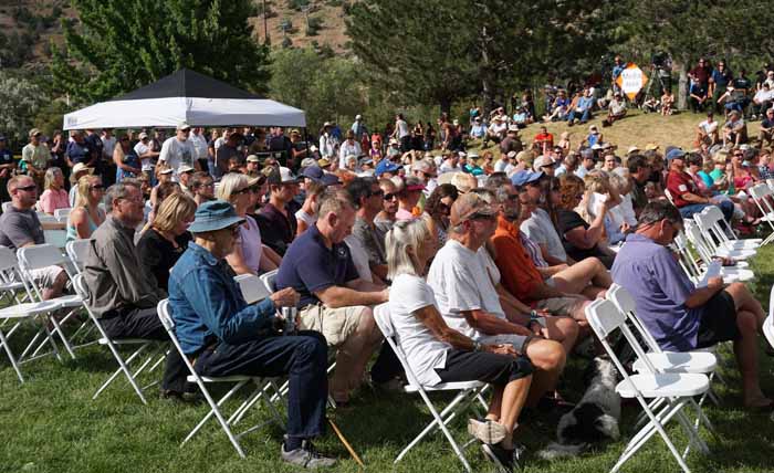
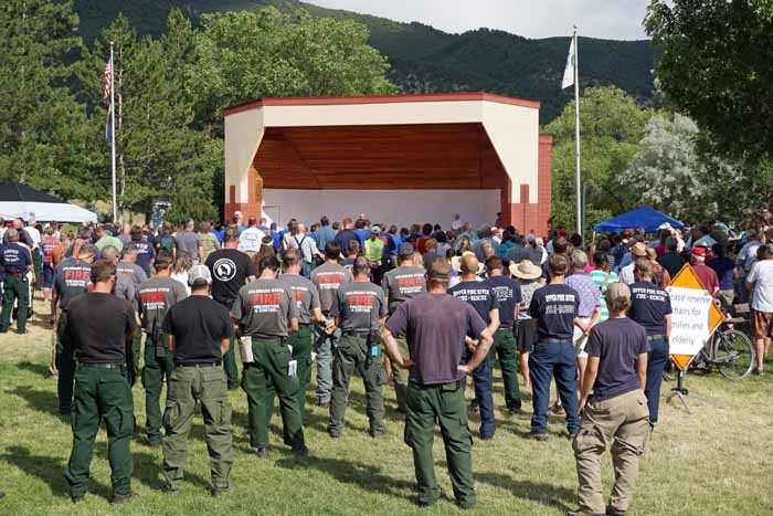
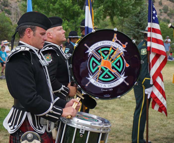
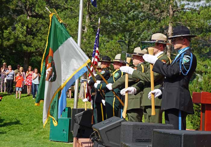
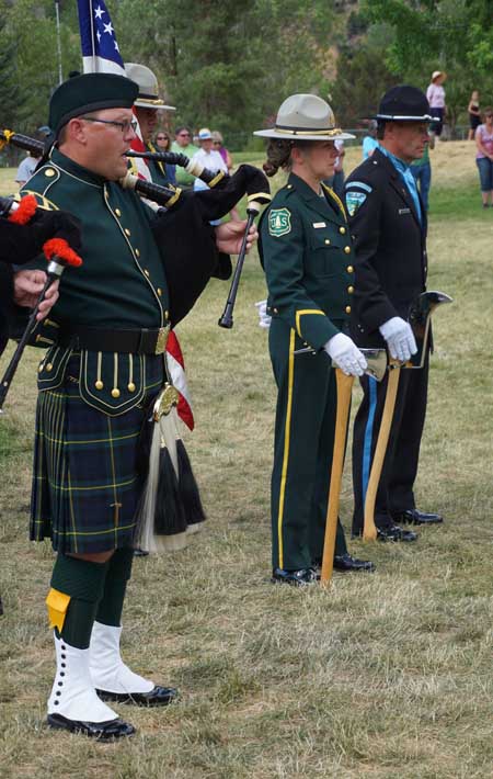
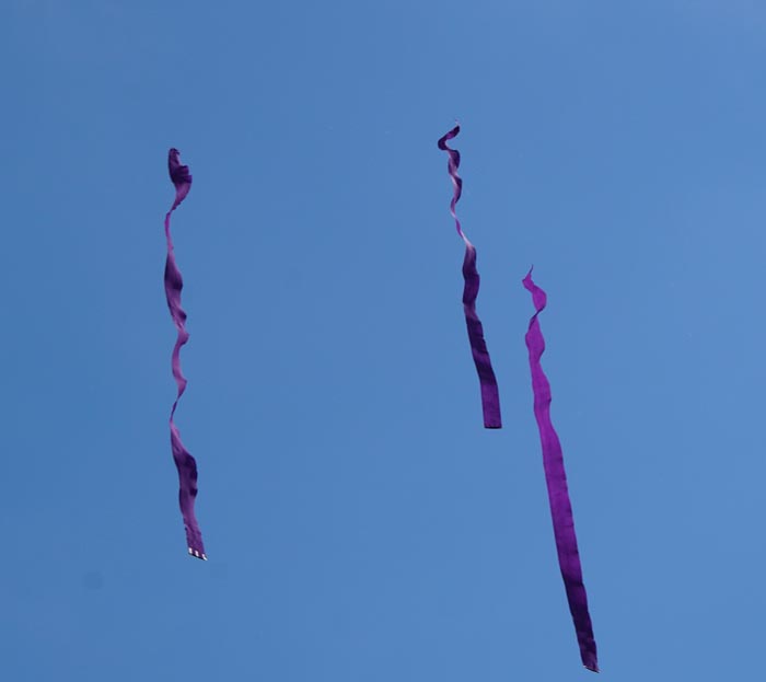
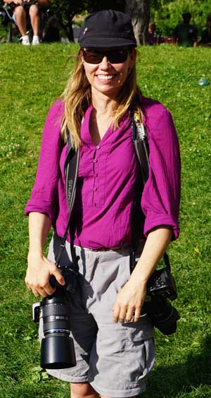
These photos were taken by Bill Gabbert July 6, 2014 in Glenwood Springs, Colorado at the South Canyon Fire 20th Anniversary Commemoration.
Boise Pipes and Drums Honor Guards and Color Guards on the stage. Honor Guards and Color Guards were at the commemoration. The Prineville Hotshots. A smokejumper aircraft dropped streamers, presumably 14 of them, near the end of the commemoration. Kari Greer, a well-known photographer of wildland fires, with her fireline tools.
Little Bear Fire, burning operation on 532 Road, June 13, 2012, Photo by Kari Greer/USFS
There can be a variety of narrative reports written about a wildfire, including 24-hour and 72-hour, After Action Review, Individual Fire Review, Fire and Aviation Safety Team Review, and Lessons Learned Review. But a type that was new to us has been released about the 2012 Little Bear Fire in New Mexico. It is titled “Little Bear Fire Summary Report” which is a vague title for a report that analyzed perceptions — how the fire was viewed by fire managers and local residents.
It could be categorized more as research than a conventional report on a fire. A team of seven social scientists from North Carolina State University, the U.S. Forest Service, University of Colorado, and Ohio State University conducted interviews of stakeholders, with a focus on perceptions of the event itself — communication, evacuation, and wildfire preparedness. They talked with community members, local organizations, and federal agency personnel.
The Little Bear Fire started on June 4, 2012 northwest of Ruidoso, New Mexico and was contained at four acres with a fireline around it during the first five days. On the afternoon of the fifth day a wind event blew embers from a torching tree outside the fireline causing the fire to eventually burn 242 houses and 44,330 acres.
The management of the fire has been a magnet for criticism from politicians, residents, and others. But this new report does not explore in detail the tactics, strategy, or suppression decisions that were made — it concentrates on how the fire was perceived.
“Gordie”, a Wildfire Today reader, in commenting on how the U.S. Forest Service expends time and energy on designating “Honorary Forest Rangers” such as Arnold Schwarzenner and Betty White, wrote in part:
…A public official in Washington state once said (paraphrased): “What we are perceived to do may be more important in our customer’s eyes than our actual accomplishments.” A horrible truth, but for the great unknowing masses, looking good is more important [to] taxpayers than actual functionality.
Applying Gordie’s analogy, the USFS ordered research to determine if they are “looking good”.
We will get to the report’s findings, but first there was one fact about the management of the fire that was new to us. On June 9, the day after the four-acre fire blew up, the New Mexico Governor ordered a second Type 1 Incident Management Team. This decision was made without consulting the existing Type 1 team, which learned of the order hours after it had taken command of the fire. When this was discovered, the second team was assigned to stage at Albuquerque, rather than continue to the fire.
Vandenberg Hotshots on the Waldo Canyon Fire. Photo by Kari Greer
In Colorado the local sheriff is responsible for the suppression of wildfires in unincorporated areas, regardless of the amount of training and experience the elected official may have in the management of wildfires. Yesterday the El Paso County Sheriff’s Office released a 27-page report about the Waldo Canyon Fire that blackened over 18,000 acres, burned 347 homes, and killed two people when it spread into Colorado Springs June 26, 2012. We can add this report to the two already issued by the city of Colorado Springs, and hopefully, a report to be released some day by the U.S. Forest Service which initially had jurisdiction for the fire that started in the Pike National Forest just west of the city.
Even though the most serious impacts of the fire were in Colorado Springs, the city refused to delegate authority for the Incident Management Team to manage the fire within their city limits, and pretty much operated on their own as hundreds of homes in the Mountain Shadows area burned and two people were killed. The County Sheriff’s report referred to this in an indirect way, as seen below:
“In preparation for the arrival of the Type 1 Team, Delegations of Authority were received from all affected jurisdictions except one agency. ****Note**** Delegations of Authority in this context refer to documents that permit state and national resources to provide assistance in local jurisdictions. These documents do not diminish or relinquish the responsibility of local authority.”
Here are some key developments during the first five days of the fire:
Friday, June 22, 2012. The first smoke report was at 7:50 p.m. The U.S. Forest Service and several agencies responded, but did not locate the smoke. All of the firefighters were released at 9:48 p.m. by the USFS who had assumed command of the incident.
Saturday, June 23, 2012. The next morning at 6:58 a.m. the USFS was back on scene. At 7:30 a.m. there was another report of smoke in the area. At noon after several other reports of smoke, the fire was located. About 20 minutes later more firefighting resources were ordered including a single engine air tanker. This is the first indication of any aviation resources, helicopters or air tankers, being requested for the fire. Shortly after that the Colorado Springs Fire Department ordered the voluntary evacuation of several areas. That afternoon a Type 3 Incident Management Team assumed command of the fire and a Type 1 IMTeam was ordered. Mandatory evacuations for some areas began at 3:12 p.m. Continue reading
Whitewater-Baldy fire, June 2, 2012. Photo by Kari Greer/USFS
U.S. Representative Steve Pearce has assembled five reports about two huge wildfires, megafires, that burned hundreds of thousands of acres and destroyed many homes in New Mexico in 2012. The Whitewater Baldy Complex blackened over 297,000 acres and destroyed 12 summer homes, while the Little Bear Fire burned 44,000 acres and 254 structures.
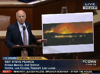
In June, 2012, Representative Pearce was extremely critical of the way the U.S. Forest Service was managing the fires, mentioning the name of Tom Tidwell, Chief of the Forest Service, many times during a 22-minute speech on the floor of the House of Representatives.
The five reports, plus one bonus article from the 1940s, can be found on Representative Pearce’s web site, and include the following:
William A. Derr, retired as Special Agent in Charge of the Law Enforcement and Investigative program in California. Mr. Derr was asked by Rep. Pearce to evaluate the management of the two fires, and was given the title of Legislative Fellow during his fact finding mission. It was an unpaid assignment, and Mr. Derr told Wildfire Today that he is not even sure if he will ask to be reimbursed for his travel expenses.
Roger Seewald, retired from the U.S. Forest Service, began his career in wildland fire on the El Cariso Hot Shots in California, and after a decade or two switched over to law enforcement. At one point late in his career he worked out of the Washington office as Deputy Director, Law Enforcement and Investigations. In his report he stated he was representing the U.S. Forest Service. In Mr. Derr’s report he was described as “representing the Chief of the Forest Service”.
Doug Boykin, Socorro District Forester, New Mexico – Energy, Minerals and Natural Resources Department, Socorro District. Mr. Boykin was the Type 3 Incident Commander during one of the early stages of the Whitewater Baldy Complex. He wrote a 17-page report packed with details and photographs. One of those details that is surprising for an objective report by a government employee about a disastrous wildfire, is that he apparently thinks God controlled the fire, and wrote: “But, given what we know now, I feel this was the perfect set up by a higher power that had grown tired of our inability to use common since [sic] in forest management and chose to set things right in his own way.”
Allen Campbell, a local resident and rancher who spent his early years “guiding clients”. His report covers the legacy and the environmental impacts of the fire, and is critical of the USFS fire management policy.
Impact DataSource, is an economic consulting, research, and analysis firm working out of Austin, Texas. Their report is titled “The Full Cost of New Mexico Wildfires”. The purpose of the report was to “…estimate the full impact of wildfires in New Mexico both during and after the wildfire occurs.” And, “…additional environmental,societal, economic and fiscal impacts are typically not tracked by any federal, state or local government or organization making the full impact of wildfires difficult to quantify.”
Earl W. Loveridge, formerly the Assistant Chief of the USFS, and before that the Assistant Chief of it’s Division of Operation and Fire Control. This reprint of a Journal of Forestry article appears to have been written in the mid-1940s. Chief Loveridge covered fire management policy, was critical of a “let burn” strategy, and pointed out the “importance of speed of control”. He also covered the 1935 origin of the “10 a.m. policy”, in which “Forester” F. A. Silcox stated, in part:
“The approved protection policy on the National Forests calls for fast, energetic and thorough suppression of all fires in all locations, during possibly dangerous fire weather. When immediate control is not thus attained, the policy then calls for promptly calculating of the problems of the existing situation and probabilities of spread, and organizing to control every such fire within the first work period. Failing in this effort the attack each succeeding day will be planned and executed with the aim, without reservation, of obtaining control before ten o’clock of the next morning…. No fixed rule can be given to meet every situation; the spirit implied in the policy itself will determine the action to be taken in doubtful situations.”
The management of both fires, the Whitewater Baldy and the Little Bear, has been criticized. The Whitewater Baldy began as two fires, the Whitewater and the Baldy fires, which burned together. The Baldy was a “modified suppression” fire and was monitored, but the Whitewater was managed under a suppression strategy.
Much of the criticism of the Little Bear fire, including from Wildfire Today, was focused on what appeared from a distance to be less than aggressive suppression tactics, even though it was a suppression fire. Two firefighters worked the fire on the first day, and from day two through day five, while the fire was only four acres, a hotshot crew was assigned, but they had very, very little aerial firefighting support; limited use of one helicopter and no air tankers. On the fifth day the wind increased, a tree in the interior of the fire torched, and spot fires took off. The fire grew from 4 acres to 44,000 acres and destroyed 254 structures.
Mr. Derr’s report does not dig into the tactics of the fires, but concentrates primarily on the fire management policy of the USFS. He is critical of less than aggressive strategies, and regrets the abandonment of the 10 a.m. policy.
Mr. Seewald visited the four-acre site that comprised the Little Bear Fire for the first 5 days and cited steep slopes, heavy downed fuel, tree canopy, and rolling rocks as issues that made aerial support inadvisable, and for any more than one crew of firefighters to work the fire. He concluded that the USFS “…made every reasonable effort to extinguish the Little Bear Fire and used acceptable methods and strategies to control the fire.” He found very little to criticize other than suggesting that the USFS could “revisit” the methods used for communicating with the public and cooperators.
Little Bear fire. Photo from Seewald report.
The Seewald report said the strong winds that caused the spot fires to take off were not predicted in the spot weather forecasts provided to the firefighters.
Doug Boykin, the Incident Commander on the Whitewater Baldy Fire, believes that the decisions about management of the Whitewater and the Baldy fires were appropriate, after taking into consideration the firefighting resources available, weather, fuels, and topography. Mr. Seewald, while he did not say so explicitly, seemed to agree with that assessment.
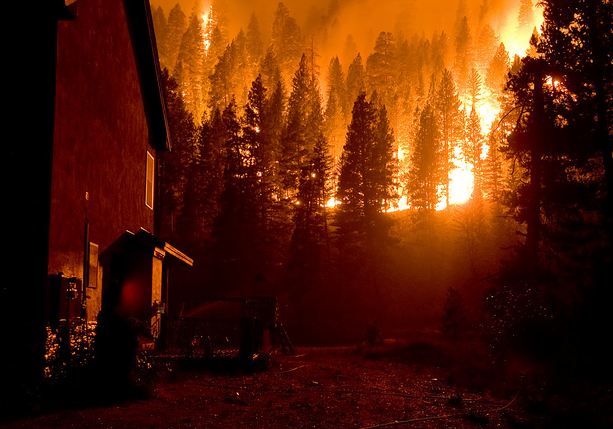
Trinity Ridge fire, August 24, 2012, photo by Kari Greer for USFS
Kari Greer is at it again… taking great photos for the U.S. Forest Service at a wildfire. These were all shot in mid to late August at the Trinity Ridge Fire in Idaho. You can see the another 600 or so HERE. Excellent job, Kari. And again we congratulate the USFS for their wisdom to arrange to have a great photographer document some of the major fires we are experiencing.
Trinity Ridge fire, August 17, 2012, photo by Kari Greer for USFS Trinity Ridge fire, August 18, 2012, photo by Kari Greer for USFS
It’s a waiting game in Featherville. Residents of the rural Idaho town east of Boise were told a week ago that the Trinity Ridge Fire would burn into town; the fire’s just 5 percent contained at 95,000 acres, most residents have left, and firefighters are ready.
Crews began burning out around the edge of town last night. “Instead of waiting for the fire to come to them, we are going to attack it and get it out of the way,” firefighter Alan Roberts told the Northwest Cable News. Crews were burning fuels along the northwest ridge and to the west of town, according to the Idaho Statesman, with helicopter operations on the ridge above town and hand crews burning along the western perimeter of Featherville. Crews are in the Featherville/Pine corridor 24 hours a day, working on structure protection and managing the burnout operation.
Installing a PSD machine (ping pong ball dropper) in a Helicopter Express Bell 407. Kari Greer photo.
The Mountain Home News reported that structure protection prep is complete, with over 9 miles of hose and more than 40 pumps in place. Crews have set up water holding tanks throughout the area.
The Trinity Ridge Fire has burned 105,210 acres since it was started on August 3 by a utility vehicle. It has burned four Forest Service cabins and four outbuildings, and suppression costs are now at $15.6 million.
Because of the size and complexity of the fire, a second Type 1 team has been added; Quisenberry’s Southern Area team has taken over the northern part of the fire. The southern portion of the fire that’s approaching Featherville will transition from Rich Harvey’s Type 1 team to Beth Lund’s Type 1 team on Saturday.