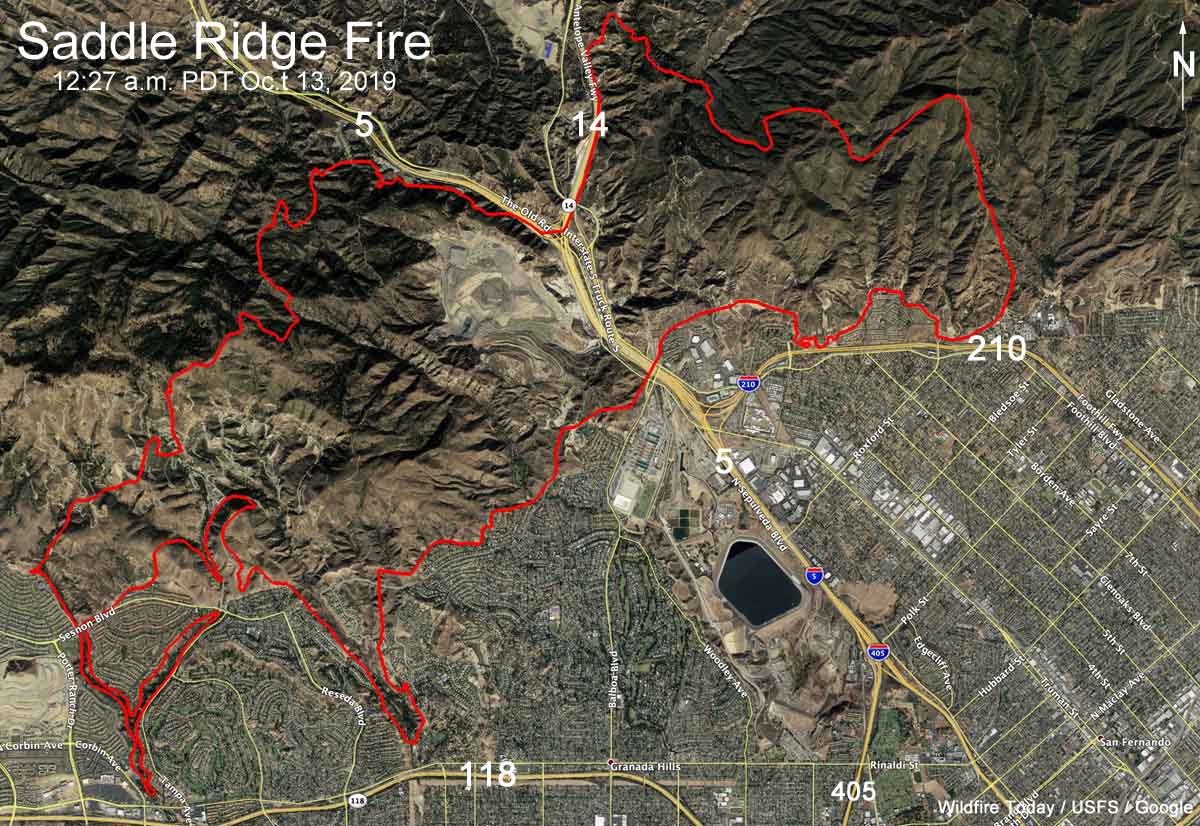
Above: 3-D map of the Saddle Ridge Fire at 12:27 a.m. PDT October 13, 2019.
Fire investigators are looking at a power line as a possible ignition point for the Saddle Ridge Fire that burned 7,965 acres and 21 structures on the north side of Los Angeles. (see map above) At least two residents of Sylmar said they first saw the fire at the base of a transmission tower. Los Angeles Fire Chief Ralph Terrazas said Friday night that he was aware of those reports, and, “We believe that witness, and someone else who said something similar.” The Southern California Edison power line had not been shut off during the Santa Ana wind event.
All of the evacuation orders have been lifted that earlier affected about 100,000 residents.
The strong north to northeast Santa Ana wind event that caused the fire to spread seven miles, from Sylmar to Granda Hills and almost to Chatsworth, has come to a close. The area is now experiencing typical on shore flows, bringing higher humidity and lower temperatures.
One person died during the fire. Authorities said Aiman Elsabbagh, 54, suffered a heart attack while trying to protect his home with a garden hose and passed away later in a hospital.
Map of the Saddle Ridge Fire at 12:27 a.m. PDT October 13, 2019.
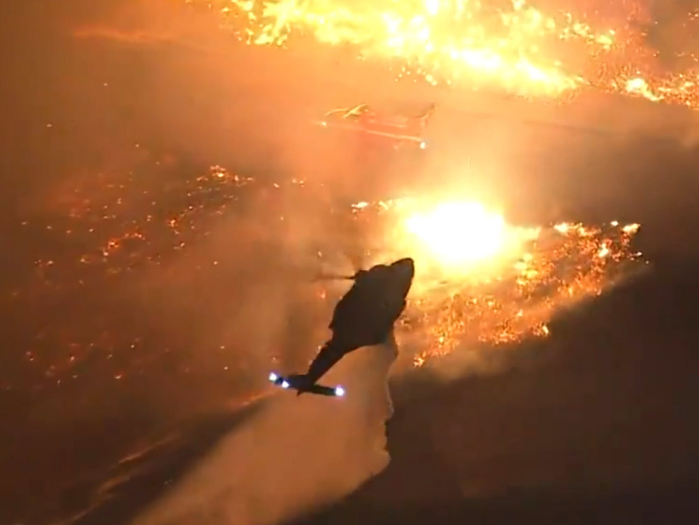
A helicopter drops water near a fire engine during very windy conditions on the Saddle Ridge Fire in Los Angeles. Screenshot from KTLA video.
Below is a collection of some of the more interesting tweets that recorded activity during the Saddle Ridge Fire on the north side of Los Angeles October 10 and 11, 2019. The fire has burned 7,552 acres and damaged or destroyed 31 structures (13 are 100% loss, 3 are 50% loss, 4 are 25% loss and 11 are 10% loss). Most, but not all, mandatory evacuations have been lifted. More information is at the Los Angeles Fire Department website.