


Updated 10:46 a.m. MDT April 21, 2022
From the staff at Sunset Crater Volcano National Monument, which was overrun by the Tunnel Fire.
“April 20
“All Sunset Crater Volcano and Wupatki staff are accounted for and safe. We were also able to successfully evacuate all culturally important items from the visitor center. For those who worried, the Kabotie painting, corn rock, Qa’na Katsina doll, and other items are safe.
“As of 4:45 this morning, the visitor center remains unharmed, as well. However, active fires continue to burn nearby. Sadly, Sunset Crater Volcano National Monument has burned in its entirety. The park is closed, and we do not have any estimated timeline for reopening.”
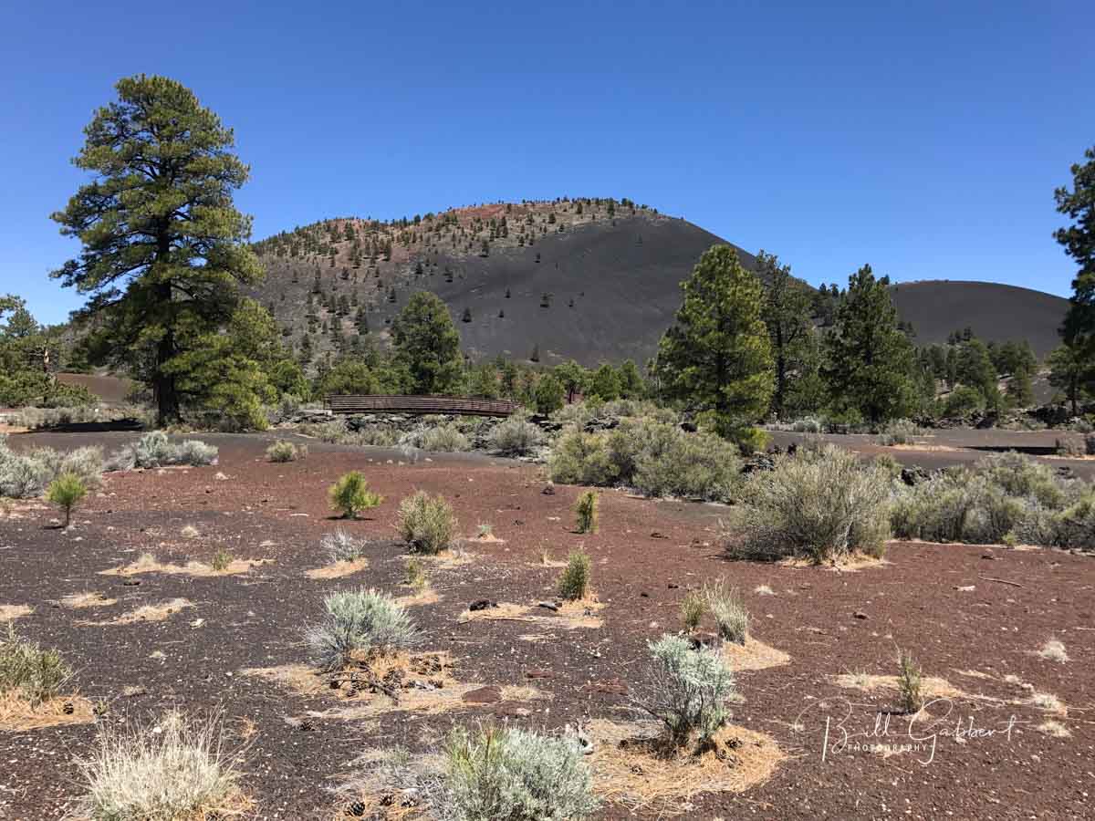 File photo of Sunset Crater Volcano National Monument, May 20, 2017.
In the map below, the Monument is inside the yellow border.
7:57 a.m. MDT April 21, 2022
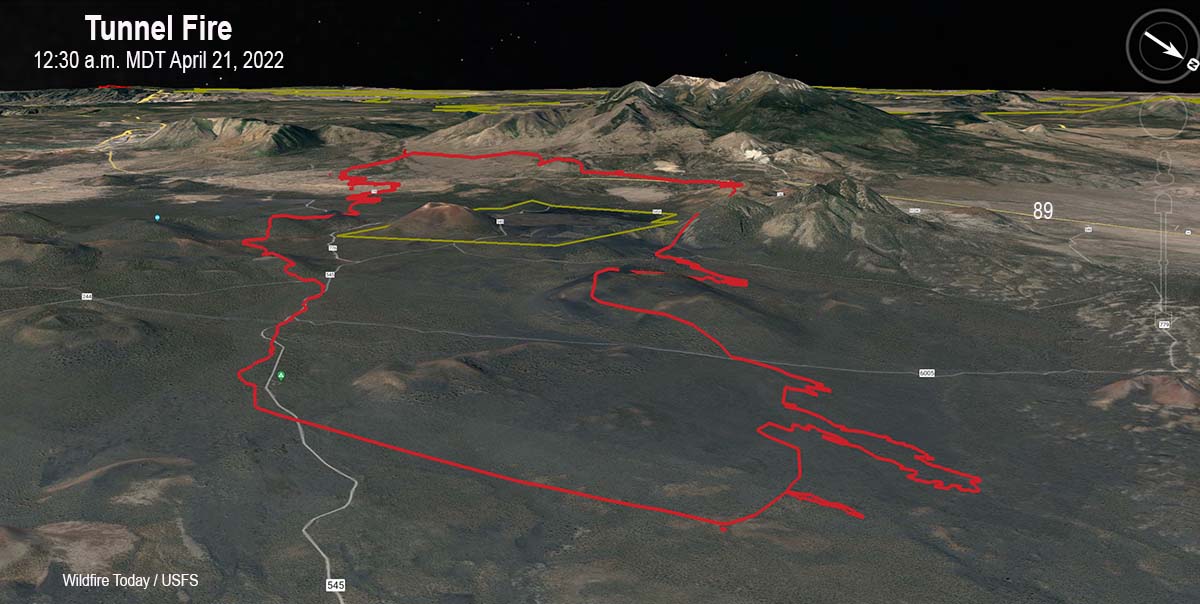 Map of the Tunnel Fire. Looking southwest at 12:30 a.m. MDT April 21, 2022.
The Tunnel Fire five miles north of the Flagstaff suburbs grew by about 3,000 acres Wednesday to bring the size up to more than 20,500 acres.
To see all articles on Wildfire Today about the Tunnel Fire, including the most recent, click here.
The fire started during the afternoon of April 17 west of Highway 89. Pushed by strong winds it spread rapidly to the northeast, crossed the highway, burned through Sunset Crater Volcano National Monument, crossed major electrical transmission lines, and early Thursday morning was about 10 miles east of Highway 89 approximately two miles from burning out of the Coconino National Forest.
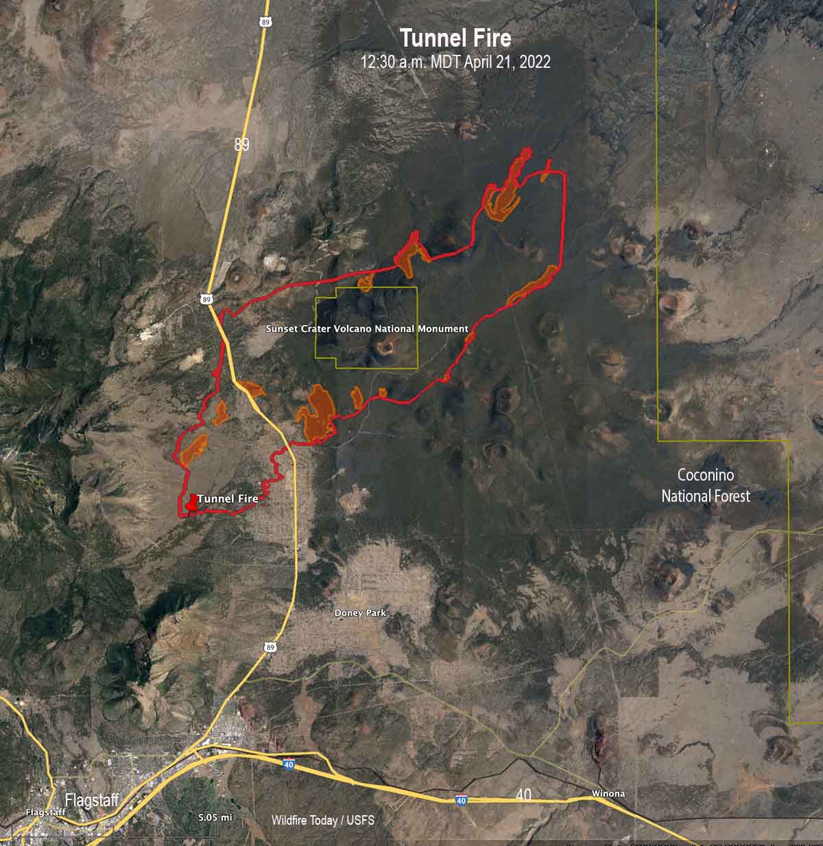 Map of the Tunnel Fire at 12:30 a.m. MDT April 21, 2022. The brown shaded areas represent intense heat at the time the fire was mapped.
On Wednesday crews worked to keep the fire out of the Timberline Estates and Wupatki Trail subdivisions. They encountered natural gas leaking from foundations of burned structures, which slowed suppression activities. On Tuesday fire officials said 24 structures had burned. The number was not broken down by residences or outbuildings.
Strong winds on Wednesday again limited the ability of aircraft to safely and effectively support firefighters on the ground. Conditions are expected to become windier Thursday and Friday. A Red Flag Warning is in effect Thursday until 8 p.m. MST due to predicted gusts of 40 to 50 mph and 10 to 15 percent relative humidity.
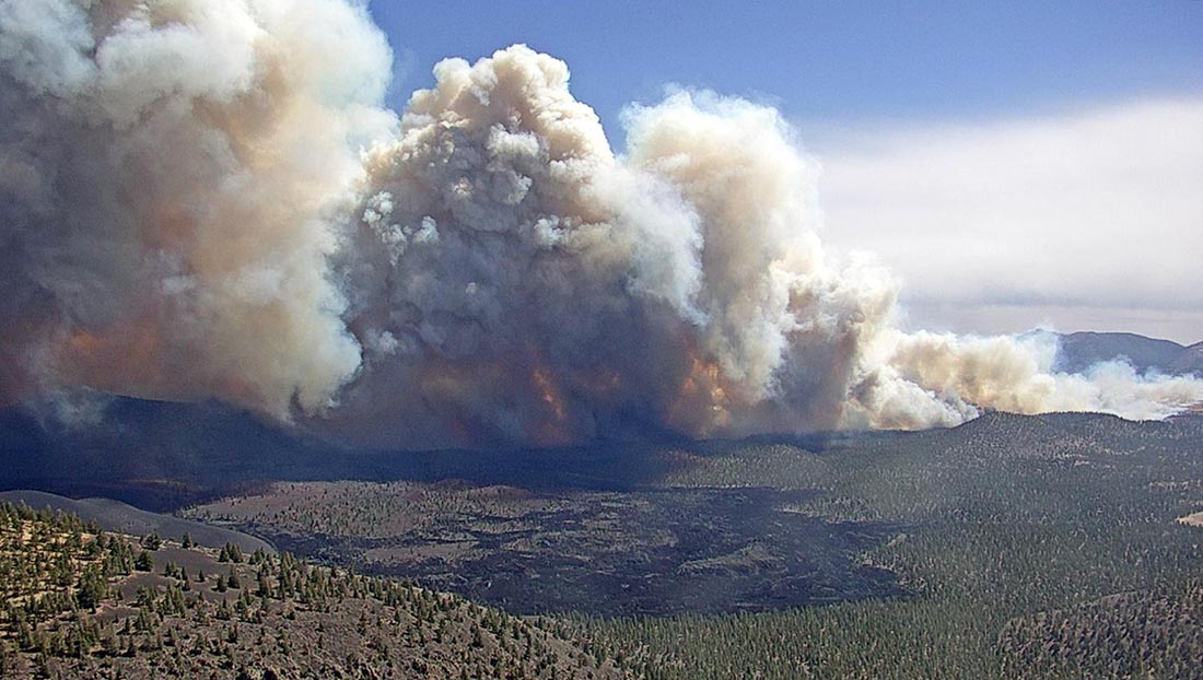 Tunnel Fire, April 19, 2022, as seen from O’Leary Lookout in Northern Arizona. USFS photo.
A National Type 1 Incident Management Team was ordered Tuesday. The 76 personnel with the team will begin arriving Thursday, with plans to assume command from the Type 3 IMT Friday morning.
Firefighting resources on scene include three dozers, 24 fire engines, and one Type 3 helicopter, for a total of 260 personnel.
U.S. Highway 89 is still closed from milepost 425 (Campbell Road) to milepost 445 and will likely remain closed for the next several days due to firefighting operations.
Information about evacuations, structures that have burned, and when people might be able to return is handled by Coconino County, which is posting updates online.
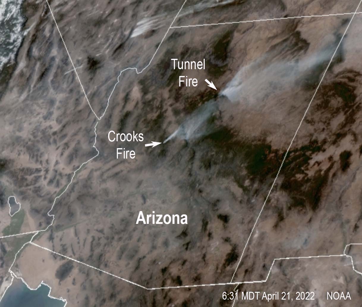 Satellite photo showing smoke from fires in Arizona, 6:31 p.m. MDT April 20, 2022.


