


9:35 a.m. MDT May 15, 2022
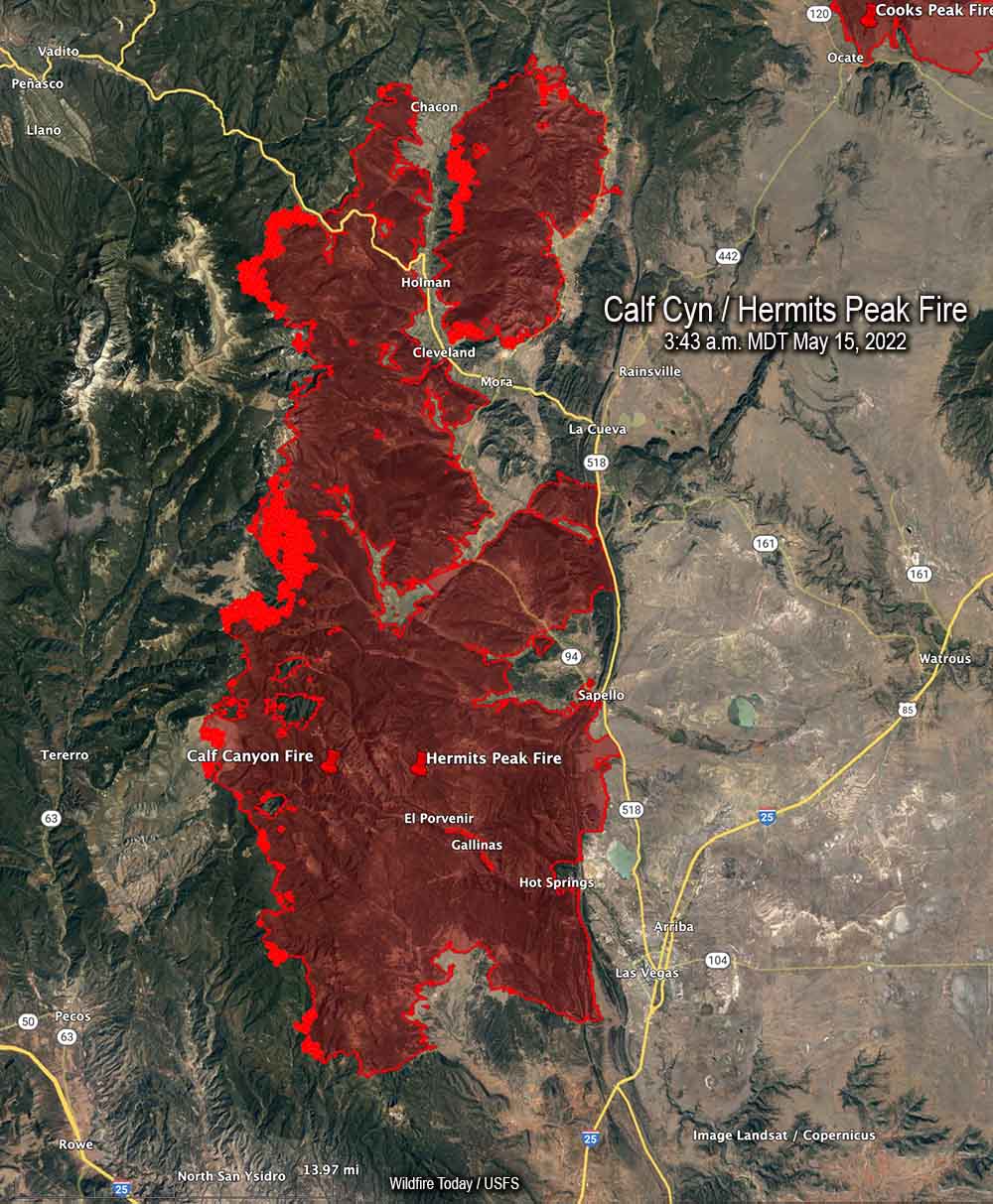 Map of the Calf Canyon / Hermits Peak Fire. The bright red areas represent heat detected by a satellite at 3:43 a.m. May 15, 2022.
The spread of the Calf Canyon / Hermits Peak Fire in Northern New Mexico has slowed in recent days compared to the rapid spread seen early last week during very strong winds and ultra low humidity.
The fire was mapped Saturday evening at 288,942 acres. Most of the activity at that time was on the west flanks, and on the north side near Holman, Chacon, Cleveland, and Mora. Crews are working to keep it away from structures and are putting in additional firelines. The perimeter on the east side between Las Vegas and La Cueva has been secure for several days.
Three Incident Management Teams are assigned. The Southwest Incident Management Team 3 (SWIMT3) has assumed command of the southern half of the fire. The SWIMT 1 took management of the northern half, and the California IMT 2 will work to the north on a bigger-picture strategic plan for control, identifying additional locations where containment lines may be constructed.
The weather forecast for Sunday is west to southwest winds 15 to 20 mph, with gusts to 25 on the north and central zones. Temperatures will range from the upper 60’s to mid-80’s depending on the elevation, with a minimum relative humidity 7 to 11 percent. Even though the wind speeds are not extreme the fire will remain active, with critically dry fuels and near-record high temperatures.
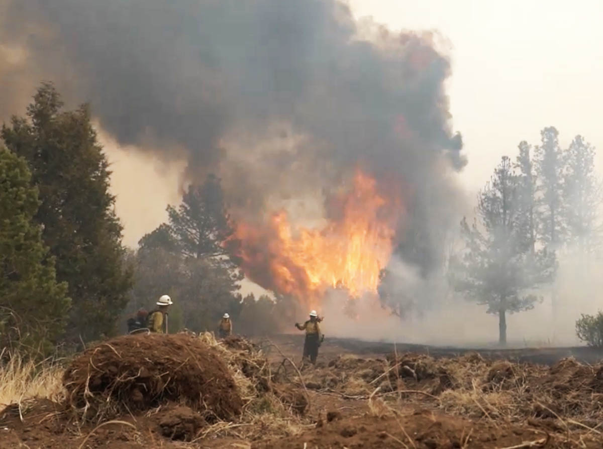 Firefighters on the Calf Canyon – Hermits Peak Fire, near Highway 434, posted by Santa Fe National Forest May 12, 2022.


