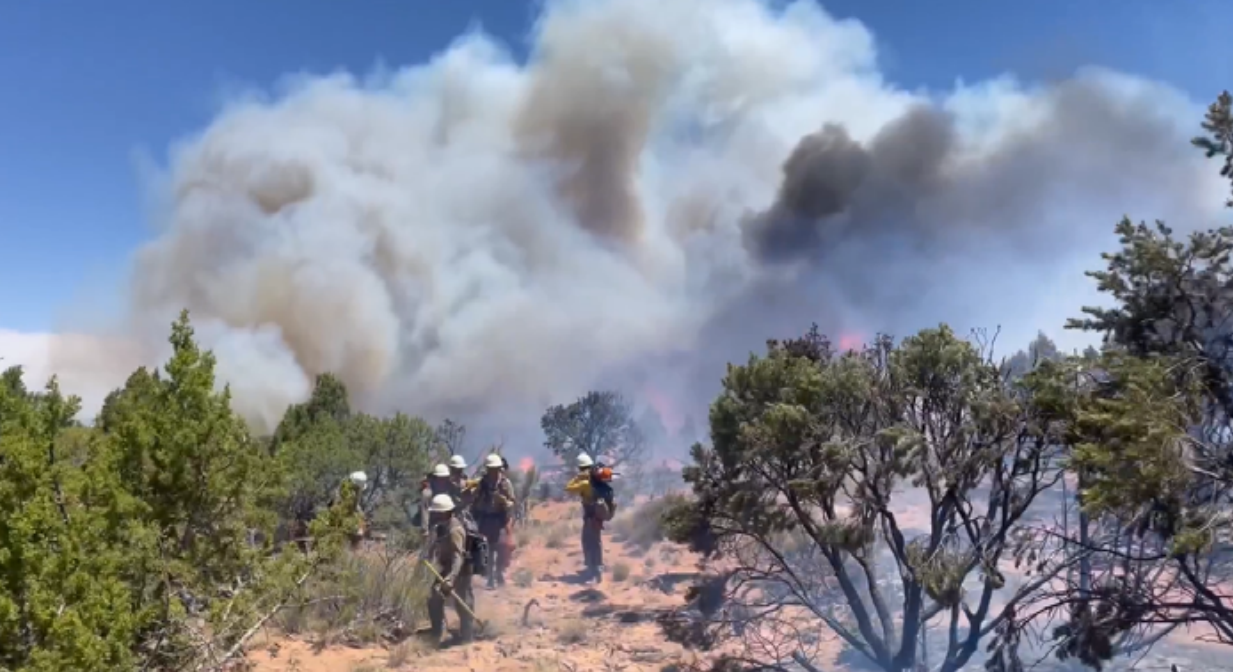
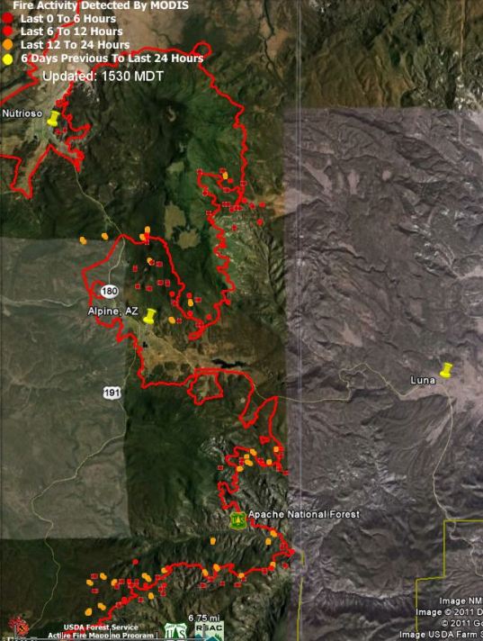
The Wallow fire in eastern Arizona has spread very close to the New Mexico border. The satellite data we just obtained (see map below) shows that in at least two areas it is one-half to one mile from the Arizona/New Mexico border, and it is spreading to the east and northeast. Well, actually, to be correct, it is spreading in all directions, being only 5% contained.
The thin vertical white line in the map below is the AZ/NM border.
Friday morning we posted more information about the Wallow fire, including more maps.